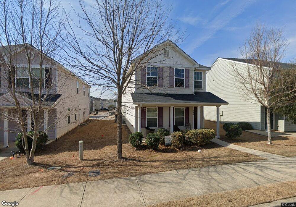
177 Brockett Dr Unit 222 Athens, GA 30607
Estimated Value: $291,000 - $315,000
3
Beds
3
Baths
1,608
Sq Ft
$187/Sq Ft
Est. Value
About This Home
This home is located at 177 Brockett Dr Unit 222, Athens, GA 30607 and is currently estimated at $301,182, approximately $187 per square foot. 177 Brockett Dr Unit 222 is a home located in Clarke County with nearby schools including Burney-Harris-Lyons Middle School, Clarke Central High School, and Foothills Education Charter High School.
Ownership History
Date
Name
Owned For
Owner Type
Purchase Details
Closed on
Aug 30, 2017
Sold by
Wjh Llc
Bought by
Britt Susan A
Current Estimated Value
Purchase Details
Closed on
Oct 31, 2016
Sold by
The Brand Banking Co
Bought by
Wade Jurney Homes Inc
Purchase Details
Closed on
Dec 8, 2015
Sold by
Lantern Walk Development P
Bought by
The Brand Banking Co
Purchase Details
Closed on
Aug 27, 2014
Sold by
Lantern Walk Builders Llc
Bought by
Lantern Walk Development Partn
Create a Home Valuation Report for This Property
The Home Valuation Report is an in-depth analysis detailing your home's value as well as a comparison with similar homes in the area
Home Values in the Area
Average Home Value in this Area
Purchase History
| Date | Buyer | Sale Price | Title Company |
|---|---|---|---|
| Britt Susan A | $123,000 | -- | |
| Wade Jurney Homes Inc | $100,000 | -- | |
| The Brand Banking Co | -- | -- | |
| Lantern Walk Development Partn | $1,155,229 | -- |
Source: Public Records
Tax History Compared to Growth
Tax History
| Year | Tax Paid | Tax Assessment Tax Assessment Total Assessment is a certain percentage of the fair market value that is determined by local assessors to be the total taxable value of land and additions on the property. | Land | Improvement |
|---|---|---|---|---|
| 2024 | $3,837 | $115,924 | $16,000 | $99,924 |
| 2023 | $3,623 | $107,196 | $16,000 | $91,196 |
| 2022 | $2,990 | $93,736 | $16,000 | $77,736 |
| 2021 | $2,514 | $74,601 | $8,000 | $66,601 |
| 2020 | $1,886 | $55,953 | $8,000 | $47,953 |
| 2019 | $1,817 | $53,506 | $8,000 | $45,506 |
| 2018 | $1,670 | $50,259 | $8,000 | $42,259 |
| 2017 | $0 | $4,960 | $4,960 | $0 |
| 2016 | $95 | $2,800 | $2,800 | $0 |
| 2015 | $95 | $2,800 | $2,800 | $0 |
| 2014 | $68 | $2,000 | $2,000 | $0 |
Source: Public Records
Map
Nearby Homes
- 404 O'Conner Blvd
- 607 W Vincent Dr
- 365 Lorien Way
- 335 Lorien Way
- 445 Oconner Blvd
- 136 Alice Walker Dr
- 190 Stedman Ct
- 139 Thornhill Cir
- 150 Jefferson River Rd
- 6070 Old Jefferson Rd
- The Rose Plan at Lantern Walk
- The Hudson Plan at Lantern Walk
- 105 Deupree Ct
- 256 Frederick Dr
- 105 Whitehead Rd Unit 17
- 105 Whitehead Rd Unit 10
- 173 Brockett Dr Unit 221
- 173 Brockett Dr
- 181 Brockett Dr Unit 223
- 181 Brockett Dr
- 505 Merchant St
- 169 Brockett Dr
- 169 Brockett Dr Unit 220
- 0 Merchant St Unit 8399723
- 0 Merchant St Unit 8399714
- 0 Merchant St Unit 8397767
- 0 Merchant St Unit 8397726
- 0 Merchant St Unit 8397712
- 0 Merchant St Unit 8397610
- 0 Brockett Dr Unit 7025160
- 0 Brockett Dr Unit 3015346
- 0 Brockett Dr Unit 8664538
- 0 Brockett Dr Unit 7440209
- 0 Brockett Dr Unit 7319358
- 0 Brockett Dr Unit 7238153
- 0 Brockett Dr Unit 3273566