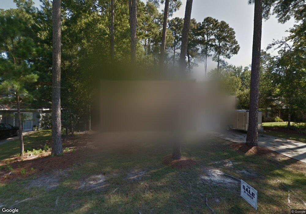
177 Brookgate Dr Unit II Myrtle Beach, SC 29579
Estimated Value: $285,406 - $381,000
3
Beds
2
Baths
1,729
Sq Ft
$188/Sq Ft
Est. Value
About This Home
This home is located at 177 Brookgate Dr Unit II, Myrtle Beach, SC 29579 and is currently estimated at $325,102, approximately $188 per square foot. 177 Brookgate Dr Unit II is a home located in Horry County with nearby schools including Forestbrook Elementary School, Forestbrook Middle School, and Socastee High School.
Ownership History
Date
Name
Owned For
Owner Type
Purchase Details
Closed on
Sep 9, 2015
Sold by
Lumsden Everette W
Bought by
Newman Aleen A
Current Estimated Value
Home Financials for this Owner
Home Financials are based on the most recent Mortgage that was taken out on this home.
Original Mortgage
$188,522
Outstanding Balance
$147,869
Interest Rate
3.87%
Mortgage Type
FHA
Estimated Equity
$177,233
Purchase Details
Closed on
Jul 22, 2014
Sold by
Nehemiah Community Reinvestment Fund Inc
Bought by
Lumsden Everette W
Purchase Details
Closed on
Jun 2, 2014
Sold by
Bank Of America Na
Bought by
Nehemiah Community Reinvestment Fund Inc
Purchase Details
Closed on
May 2, 2014
Sold by
Federal Home Loan Mortgage Corporation
Bought by
Bank Of America Na
Purchase Details
Closed on
Feb 19, 2013
Sold by
Master In Equity Horry County
Bought by
Federal Home Loan Mortgage Corporation
Create a Home Valuation Report for This Property
The Home Valuation Report is an in-depth analysis detailing your home's value as well as a comparison with similar homes in the area
Home Values in the Area
Average Home Value in this Area
Purchase History
| Date | Buyer | Sale Price | Title Company |
|---|---|---|---|
| Newman Aleen A | $192,000 | -- | |
| Lumsden Everette W | $51,921 | -- | |
| Nehemiah Community Reinvestment Fund Inc | -- | -- | |
| Bank Of America Na | -- | -- | |
| Federal Home Loan Mortgage Corporation | $60,000 | -- |
Source: Public Records
Mortgage History
| Date | Status | Borrower | Loan Amount |
|---|---|---|---|
| Open | Newman Aleen A | $188,522 |
Source: Public Records
Tax History Compared to Growth
Tax History
| Year | Tax Paid | Tax Assessment Tax Assessment Total Assessment is a certain percentage of the fair market value that is determined by local assessors to be the total taxable value of land and additions on the property. | Land | Improvement |
|---|---|---|---|---|
| 2024 | $751 | $10,384 | $3,400 | $6,984 |
| 2023 | $751 | $7,997 | $1,397 | $6,600 |
| 2021 | $657 | $7,997 | $1,397 | $6,600 |
| 2020 | $740 | $7,997 | $1,397 | $6,600 |
| 2019 | $740 | $7,997 | $1,397 | $6,600 |
| 2018 | $0 | $7,602 | $1,498 | $6,104 |
| 2017 | $710 | $7,602 | $1,498 | $6,104 |
| 2016 | -- | $7,602 | $1,498 | $6,104 |
| 2015 | $518 | $5,454 | $1,498 | $3,956 |
| 2014 | $1,710 | $5,454 | $1,498 | $3,956 |
Source: Public Records
Map
Nearby Homes
- 159 Brookgate Dr
- 154 Hummingbird Ct
- 209 Chickasaw Ln
- 819 Brookline Dr
- 875 Brookline Dr
- 421 Villa Woods Dr
- 705 Burcale Place
- 950 Forestbrook Rd Unit A1
- 950 Forestbrook Rd Unit C-3
- 615 Burcale Road Cir
- 610 Burcale Road Cir
- 326 Harbison Cir
- 604 Poe Creek Way
- 757 Bucklin Loop
- 538 Ambrosia Loop Unit Fox Horn Community
- 347 Harbison Cir
- 3691 Farmington Place
- 3534 Gordon Dr
- 620 Bathurst Dr
- 3530 Reavis Ln
- 167 Brookgate Dr Unit Brookgate at Forestb
- 167 Brookgate Dr
- 169 Brookgate Dr Unit Forestbrook
- 178 Brookgate Dr
- 171 Brookgate Dr
- 166 Brookgate Dr
- 164 Brookgate Dr
- 165 Brookgate Dr Unit 165 Brookgate Dr
- 165 Brookgate Dr
- 170 Chickasaw Ln Unit MB
- 168 Brookgate Dr
- 172 Chickasaw Ln
- 162 Brookgate Dr
- 173 Brookgate Dr Unit Forestbrook
- 173 Brookgate Dr
- 174 Chickasaw Ln Unit MB
- 170 Brookgate Dr
- 160 Brookgate Dr
- 163 Brookgate Dr
- 448 Pawpaw Ln Unit MB