177 Dusty Trail Timberlake, NC 27583
Estimated Value: $265,000 - $575,000
5
Beds
3
Baths
3,400
Sq Ft
$109/Sq Ft
Est. Value
About This Home
This home is located at 177 Dusty Trail, Timberlake, NC 27583 and is currently estimated at $369,939, approximately $108 per square foot. 177 Dusty Trail is a home located in Person County with nearby schools including Person High School.
Ownership History
Date
Name
Owned For
Owner Type
Purchase Details
Closed on
Jan 9, 2014
Sold by
Driver Jason T
Bought by
Patterson Troy M
Current Estimated Value
Home Financials for this Owner
Home Financials are based on the most recent Mortgage that was taken out on this home.
Original Mortgage
$109,250
Outstanding Balance
$30,897
Interest Rate
4.44%
Mortgage Type
New Conventional
Estimated Equity
$339,042
Purchase Details
Closed on
May 18, 2012
Sold by
Clayton Karen C
Bought by
Driver Jason T
Purchase Details
Closed on
Aug 2, 2011
Sold by
Patterson Daniel and Patterson Laretta I
Bought by
Clayton Karen C
Create a Home Valuation Report for This Property
The Home Valuation Report is an in-depth analysis detailing your home's value as well as a comparison with similar homes in the area
Home Values in the Area
Average Home Value in this Area
Purchase History
| Date | Buyer | Sale Price | Title Company |
|---|---|---|---|
| Patterson Troy M | $115,000 | None Available | |
| Driver Jason T | $124,500 | None Available | |
| Clayton Karen C | $125,000 | -- |
Source: Public Records
Mortgage History
| Date | Status | Borrower | Loan Amount |
|---|---|---|---|
| Open | Patterson Troy M | $109,250 |
Source: Public Records
Tax History Compared to Growth
Tax History
| Year | Tax Paid | Tax Assessment Tax Assessment Total Assessment is a certain percentage of the fair market value that is determined by local assessors to be the total taxable value of land and additions on the property. | Land | Improvement |
|---|---|---|---|---|
| 2025 | $2,194 | $324,226 | $0 | $0 |
| 2024 | $1,543 | $181,636 | $0 | $0 |
| 2023 | $1,550 | $181,636 | $0 | $0 |
| 2022 | $1,553 | $181,636 | $0 | $0 |
| 2021 | $1,540 | $181,636 | $0 | $0 |
| 2020 | $1,280 | $147,558 | $0 | $0 |
| 2019 | $1,307 | $147,558 | $0 | $0 |
| 2018 | $1,166 | $129,668 | $0 | $0 |
| 2017 | $1,166 | $129,653 | $0 | $0 |
| 2016 | $1,182 | $129,653 | $0 | $0 |
| 2015 | $1,203 | $129,653 | $0 | $0 |
| 2014 | $1,198 | $129,653 | $0 | $0 |
Source: Public Records
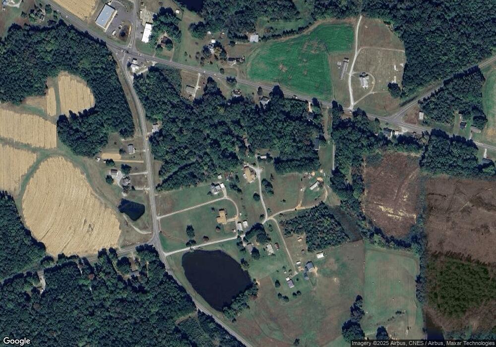
Map
Nearby Homes
- 0 Old Surl Rd
- 122 Old Surl Rd
- 0 Doc Bass Rd
- 95 Doc Bass Rd
- 243 Victor Chandler Rd
- 1469 Mollie Mooney Rd
- 576 Duncan Rd
- 670 Tingen Mine Rd
- 00 Pulliam-Tingen Mine Rd
- 2201 Mollie Mooney Rd
- Tract D Antioch Church Rd
- Tract E Antioch Church Rd
- Tract F Antioch Church Rd
- 689 Lockamy Rd
- 2735 Lucy Garrett Rd
- 59 Sequoia Dr
- 127 Cobble Brook Dr
- 153 Ninovan Place
- 152 Crystal Lake Dr
- 21 Piney Forest Rd
- 211 Surl Mount Tirzah Rd
- 211 Surl Mount Tirzah Rd
- 239 Surl Mount Tirzah Rd
- 106 Dusty Trail
- 5366 Oxford Rd
- 5294 Oxford Rd
- 5262 Oxford Rd
- 5354 Oxford Rd
- Lot 7 Oxford Rd
- Lot 7 Oxford Rd Unit 7
- 1.04 acre Oxford Rd
- 117 Surl Mount Tirzah Rd
- 5394 Oxford Rd
- 103 Acres off Surl Mt Tirzah Rd
- 0 Oxford Rd Unit 10068030
- 0 Oxford Rd Unit 1879259
- 0 Oxford Rd Unit 1805083
- 0 Oxford Rd Unit TR2150054
- 0 Oxford Rd Unit 2 1805083
- 0 Oxford Rd Unit 2 1879259