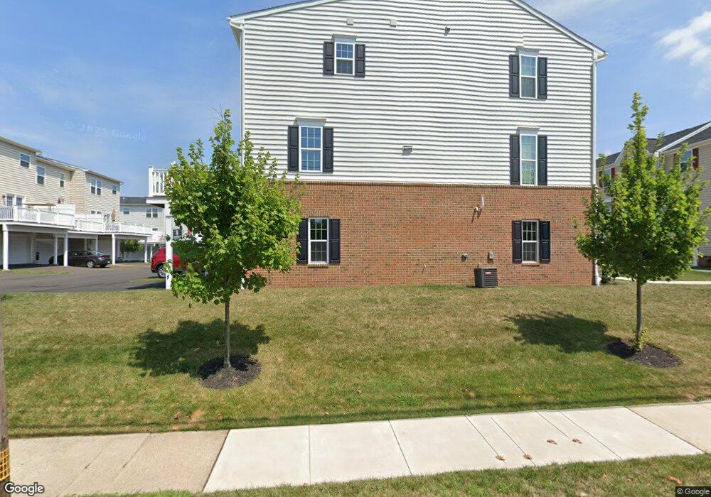
177 E Hancock St Lansdale, PA 19446
Estimated Value: $457,577 - $523,000
3
Beds
3
Baths
1,700
Sq Ft
$291/Sq Ft
Est. Value
About This Home
This home is located at 177 E Hancock St, Lansdale, PA 19446 and is currently estimated at $494,144, approximately $290 per square foot. 177 E Hancock St is a home located in Montgomery County with nearby schools including York Avenue Elementary School, Penndale Middle School, and North Penn Senior High School.
Ownership History
Date
Name
Owned For
Owner Type
Purchase Details
Closed on
Mar 22, 2016
Sold by
Nvr Inc
Bought by
Rahmlow Howard and Rahmlow Patricia S
Current Estimated Value
Purchase Details
Closed on
Sep 14, 2015
Sold by
Andale Properties Llc
Bought by
Nvr Inc and Ryan Homes
Purchase Details
Closed on
Aug 31, 2005
Sold by
Harrison George W and Harrison Linda H
Bought by
Andale Prop Llc
Purchase Details
Closed on
Jul 27, 1995
Sold by
Horgan Brothers Inc
Bought by
Harrison George W and Harrison Linda H
Create a Home Valuation Report for This Property
The Home Valuation Report is an in-depth analysis detailing your home's value as well as a comparison with similar homes in the area
Home Values in the Area
Average Home Value in this Area
Purchase History
| Date | Buyer | Sale Price | Title Company |
|---|---|---|---|
| Rahmlow Howard | $325,490 | None Available | |
| Nvr Inc | $510,000 | None Available | |
| Andale Prop Llc | $420,000 | -- | |
| Harrison George W | $125,000 | -- |
Source: Public Records
Tax History Compared to Growth
Tax History
| Year | Tax Paid | Tax Assessment Tax Assessment Total Assessment is a certain percentage of the fair market value that is determined by local assessors to be the total taxable value of land and additions on the property. | Land | Improvement |
|---|---|---|---|---|
| 2025 | $5,660 | $134,570 | -- | -- |
| 2024 | $5,660 | $134,570 | -- | -- |
| 2023 | $5,294 | $134,570 | $0 | $0 |
| 2022 | $5,127 | $134,570 | $0 | $0 |
| 2021 | $4,918 | $134,570 | $0 | $0 |
| 2020 | $4,770 | $134,570 | $0 | $0 |
| 2019 | $4,691 | $134,570 | $0 | $0 |
| 2018 | $1,257 | $134,570 | $0 | $0 |
| 2017 | $4,379 | $134,570 | $0 | $0 |
| 2016 | $4,326 | $10,000 | $0 | $0 |
| 2015 | $316 | $114,910 | $63,590 | $51,320 |
| 2014 | $3,428 | $114,910 | $63,590 | $51,320 |
Source: Public Records
Map
Nearby Homes
- 263 Compass Dr
- 380 E Hancock St Unit 100A
- 380 E Hancock St Unit 104A
- 380 E Hancock St Unit 103A
- 380 E Hancock St Unit 101A
- 380 E Hancock St Unit 103B
- 380 E Hancock St Unit 102B
- 380 E Hancock St Unit 101B
- 380 E Hancock St Unit 100B
- 380 E Hancock St Unit 102A
- 38 Hamilton St
- 100 Penn St
- 159 Penn St
- 128 S Broad St
- 2 N Line St
- 830 S Broad St
- 446 E Main St
- 532 Green St
- 534 Green St
- 611 Green St
- 210 Compass Dr
- 212 Compass Dr
- 208 Compass Dr
- 206 Compass Dr
- 214 Compass Dr
- 204 Compass Dr
- 226 Foxtail Way
- 202 Compass Dr
- 222 Foxtail Way
- 216 Compass Dr
- 0 Compass Dr
- 200 Compass Dr
- 218 Foxtail Way
- 218 Compass Dr
- 312 Andale Green Dr
- 273 Compass Dr
- 214 Foxtail Way
- 220 Compass Dr
- 228 Foxtail Way
- 271 Compass Dr