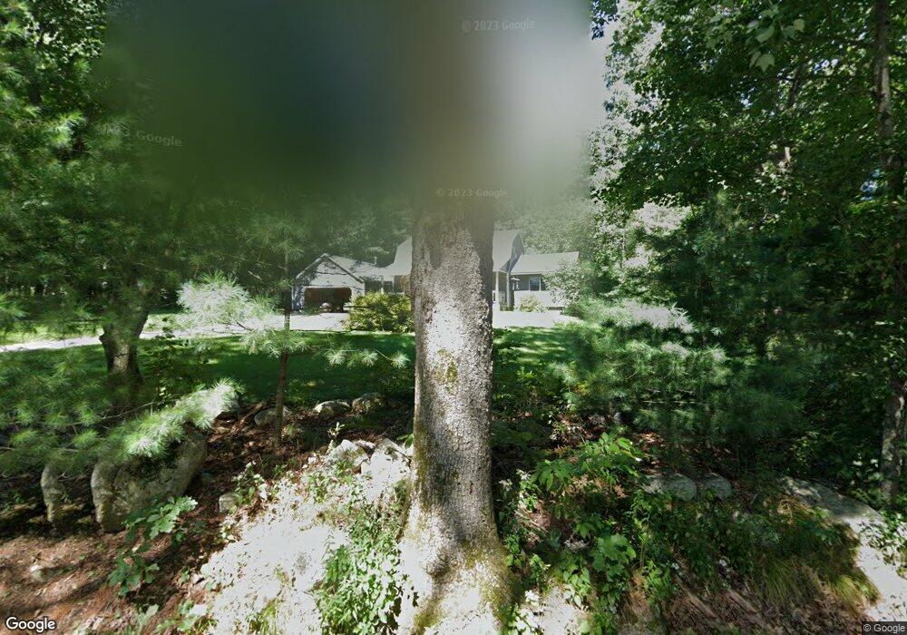
177 Gould Rd Charlton, MA 01507
Estimated Value: $509,000 - $662,000
3
Beds
2
Baths
1,840
Sq Ft
$309/Sq Ft
Est. Value
About This Home
This home is located at 177 Gould Rd, Charlton, MA 01507 and is currently estimated at $567,780, approximately $308 per square foot. 177 Gould Rd is a home located in Worcester County with nearby schools including Shepherd Hill Regional High School.
Ownership History
Date
Name
Owned For
Owner Type
Purchase Details
Closed on
Aug 14, 2023
Sold by
Tuft Gregory R
Bought by
Tuft Gregory R and Tuft Christa
Current Estimated Value
Purchase Details
Closed on
Jun 30, 2000
Sold by
Stanwood Charles O and Stanwood Lynn M
Bought by
Tuft Gregory R
Purchase Details
Closed on
Oct 31, 1996
Sold by
Mcdonald Glenn E and Mcdonald Sharon A
Bought by
Stanwood Charles O and Stanwood Lynn M
Create a Home Valuation Report for This Property
The Home Valuation Report is an in-depth analysis detailing your home's value as well as a comparison with similar homes in the area
Home Values in the Area
Average Home Value in this Area
Purchase History
| Date | Buyer | Sale Price | Title Company |
|---|---|---|---|
| Tuft Gregory R | -- | None Available | |
| Tuft Gregory R | -- | None Available | |
| Tuft Gregory R | $189,900 | -- | |
| Tuft Gregory R | $189,900 | -- | |
| Stanwood Charles O | $158,000 | -- |
Source: Public Records
Mortgage History
| Date | Status | Borrower | Loan Amount |
|---|---|---|---|
| Previous Owner | Stanwood Charles O | $173,000 | |
| Previous Owner | Stanwood Charles O | $140,182 |
Source: Public Records
Tax History Compared to Growth
Tax History
| Year | Tax Paid | Tax Assessment Tax Assessment Total Assessment is a certain percentage of the fair market value that is determined by local assessors to be the total taxable value of land and additions on the property. | Land | Improvement |
|---|---|---|---|---|
| 2025 | $5,269 | $473,400 | $112,100 | $361,300 |
| 2024 | $5,083 | $448,200 | $106,000 | $342,200 |
| 2023 | $5,044 | $414,500 | $105,700 | $308,800 |
| 2022 | $4,941 | $371,800 | $96,600 | $275,200 |
| 2021 | $4,494 | $299,400 | $84,600 | $214,800 |
| 2020 | $3,708 | $248,200 | $78,600 | $169,600 |
| 2019 | $3,666 | $248,200 | $78,600 | $169,600 |
| 2018 | $3,351 | $248,200 | $78,600 | $169,600 |
| 2017 | $3,301 | $234,100 | $78,600 | $155,500 |
| 2016 | $3,226 | $234,100 | $78,600 | $155,500 |
| 2015 | $3,142 | $234,100 | $78,600 | $155,500 |
| 2014 | $2,978 | $235,200 | $73,600 | $161,600 |
Source: Public Records
Map
Nearby Homes
- 68 Borkum Rd
- Lot 3 Smith Rd
- Lot 5 Smith Rd
- Lot 4 Smith Rd
- 27 W Applewood Dr
- 20 Leela Ln
- 9 Knollwood Dr
- 65 Old Spencer Rd
- 50 Old Spencer Rd
- 7 Hycrest Rd
- 8 Hycrest Rd
- 39 Hycrest Rd
- 44 Hycrest Rd
- 2 Wendy Place
- 25 Clark Rd
- 7 Little Muggett Rd
- 102 River St
- 199 Center Depot Rd
- 40 Carroll Hill Rd
- 1098 Stafford St Unit 9