Estimated Value: $264,000 - $455,000
--
Bed
--
Bath
912
Sq Ft
$373/Sq Ft
Est. Value
About This Home
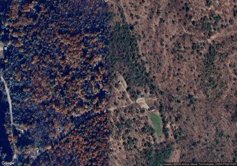
This home is located at 177 Hussey Hill Rd, Acton, ME 04001 and is currently estimated at $339,899, approximately $372 per square foot. 177 Hussey Hill Rd is a home with nearby schools including Acton Elementary School.
Ownership History
Date
Name
Owned For
Owner Type
Purchase Details
Closed on
Oct 30, 2025
Sold by
Morrow Llanna M
Bought by
Ziva Capital Llc
Current Estimated Value
Purchase Details
Closed on
Apr 23, 2007
Sold by
Morrow Lianna M and Morrow David E
Bought by
Morrow Lianna M
Home Financials for this Owner
Home Financials are based on the most recent Mortgage that was taken out on this home.
Original Mortgage
$155,000
Interest Rate
8.5%
Mortgage Type
Commercial
Purchase Details
Closed on
Aug 22, 2005
Sold by
Ross Aldona E and Ross Douglas L
Bought by
Sparco Ronaine C and Sparco Peter
Home Financials for this Owner
Home Financials are based on the most recent Mortgage that was taken out on this home.
Original Mortgage
$142,500
Interest Rate
5.63%
Mortgage Type
Commercial
Purchase Details
Closed on
Aug 4, 2005
Sold by
Butler Douglas W
Bought by
Morrow David E
Home Financials for this Owner
Home Financials are based on the most recent Mortgage that was taken out on this home.
Original Mortgage
$142,500
Interest Rate
5.63%
Mortgage Type
Commercial
Create a Home Valuation Report for This Property
The Home Valuation Report is an in-depth analysis detailing your home's value as well as a comparison with similar homes in the area
Home Values in the Area
Average Home Value in this Area
Purchase History
| Date | Buyer | Sale Price | Title Company |
|---|---|---|---|
| Ziva Capital Llc | $44,000 | -- | |
| Morrow Lianna M | -- | -- | |
| Sparco Ronaine C | $150,000 | -- | |
| Sparco Ronaine C | $150,000 | -- | |
| Morrow David E | -- | -- | |
| Morrow David E | -- | -- |
Source: Public Records
Mortgage History
| Date | Status | Borrower | Loan Amount |
|---|---|---|---|
| Previous Owner | Morrow David E | $155,000 | |
| Previous Owner | Morrow David E | $142,500 |
Source: Public Records
Tax History Compared to Growth
Tax History
| Year | Tax Paid | Tax Assessment Tax Assessment Total Assessment is a certain percentage of the fair market value that is determined by local assessors to be the total taxable value of land and additions on the property. | Land | Improvement |
|---|---|---|---|---|
| 2024 | $1,553 | $219,672 | $90,400 | $129,272 |
| 2023 | $1,417 | $219,672 | $90,400 | $129,272 |
| 2022 | $1,911 | $159,899 | $58,000 | $101,899 |
| 2021 | $1,911 | $159,899 | $58,000 | $101,899 |
| 2020 | $1,927 | $159,899 | $58,000 | $101,899 |
| 2019 | $1,927 | $159,899 | $58,000 | $101,899 |
| 2018 | $1,927 | $159,899 | $58,000 | $101,899 |
| 2017 | $1,903 | $159,899 | $58,000 | $101,899 |
| 2016 | $1,799 | $159,899 | $58,000 | $101,899 |
| 2015 | $1,847 | $159,899 | $58,000 | $101,899 |
| 2014 | $1,775 | $159,899 | $58,000 | $101,899 |
Source: Public Records
Map
Nearby Homes
- 151 Hussey Hill Rd
- 183 Hussey Hill Rd
- 119 Hussey Hill Rd
- 0 Hussey Hill Rd
- 79 Hussey Hill Rd
- 1515 Hopper Rd
- 1411 Hopper Rd
- 1563 Hopper Rd
- 1463 Hopper Rd
- 1447 Hopper Rd
- 1435 Hopper Rd
- 1486 Hopper Rd
- Lt.238-5 Hussey Hill Rd
- 0 Hopper Rd
- 0 Hopper Rd Unit 867976
- 0 Hopper Rd Unit 745130
- 0 Hopper Rd Unit 738949
- 0 Hopper Rd Unit 719534
- 0 Hopper Rd Unit 354585
- 0 Hopper Rd Unit 276517
