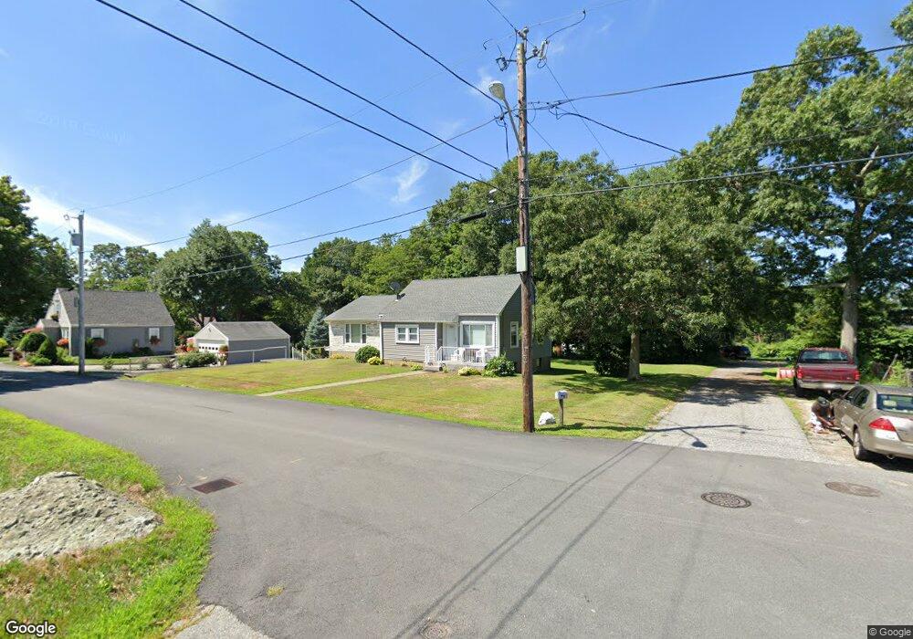
177 Irving Ave Somerset, MA 02726
Brayton Point NeighborhoodEstimated Value: $423,000 - $495,000
2
Beds
2
Baths
1,686
Sq Ft
$277/Sq Ft
Est. Value
About This Home
This home is located at 177 Irving Ave, Somerset, MA 02726 and is currently estimated at $467,135, approximately $277 per square foot. 177 Irving Ave is a home located in Bristol County with nearby schools including South Elementary School, Somerset Middle School, and St. Michael's School.
Ownership History
Date
Name
Owned For
Owner Type
Purchase Details
Closed on
Jan 27, 2021
Sold by
Desouto Daniel and Desouto John
Bought by
Desouto Irt and Desouto
Current Estimated Value
Purchase Details
Closed on
Dec 9, 2014
Sold by
Desouto Verna and Desouto John S
Bought by
Desouto Daniel and Desouto John
Purchase Details
Closed on
Jan 6, 1981
Bought by
Desouto John and Desouto Daniel
Create a Home Valuation Report for This Property
The Home Valuation Report is an in-depth analysis detailing your home's value as well as a comparison with similar homes in the area
Home Values in the Area
Average Home Value in this Area
Purchase History
| Date | Buyer | Sale Price | Title Company |
|---|---|---|---|
| Desouto Irt | -- | None Available | |
| Desouto Irt | -- | None Available | |
| Desouto Daniel | -- | -- | |
| Desouto Daniel | -- | -- | |
| Desouto John | -- | -- |
Source: Public Records
Tax History
| Year | Tax Paid | Tax Assessment Tax Assessment Total Assessment is a certain percentage of the fair market value that is determined by local assessors to be the total taxable value of land and additions on the property. | Land | Improvement |
|---|---|---|---|---|
| 2025 | $5,335 | $401,100 | $171,100 | $230,000 |
| 2024 | $5,016 | $392,200 | $171,100 | $221,100 |
| 2023 | $4,314 | $340,200 | $142,500 | $197,700 |
| 2022 | $3,982 | $299,600 | $122,900 | $176,700 |
| 2021 | $4,015 | $273,500 | $111,100 | $162,400 |
| 2020 | $4,103 | $269,600 | $111,100 | $158,500 |
| 2019 | $4,632 | $253,800 | $111,100 | $142,700 |
| 2018 | $4,065 | $238,300 | $106,100 | $132,200 |
| 2017 | $3,939 | $226,400 | $100,700 | $125,700 |
| 2016 | $3,964 | $226,400 | $100,700 | $125,700 |
| 2015 | $4,089 | $235,700 | $106,400 | $129,300 |
| 2014 | $5,593 | $231,600 | $103,400 | $128,200 |
Source: Public Records
Map
Nearby Homes
- 197 Alberta Ave
- 1706 Brayton Point Rd
- 131 Chateau Dr
- 35 Randall Ave
- 992 Lees River Ave
- 33 Rhinecliffe Rd
- 700 Lees River Ave Unit 15
- 675 Lees River Ave
- 60 Aetna St
- 90 Evergreen Ave
- 24 Front St
- 7 Bradley Ave
- 33 Hodges Ave
- 115 River Rd
- 125 George St
- 300 Read St
- 2 Cedarbrook Unit A
- 5 Cedarbrook Unit A
- 5 Cedarbrook Unit B
- 34 Base Lodge Ln
- 149 Irving Ave
- 195 Irving Ave
- 195 Irving Ave Unit 1
- 195 Irving Ave Unit 2
- 219 Mason Ave
- 211 Irving Ave
- 158 Irving Ave
- 181 Irving Ave
- 285 Winslow Ave
- 202 Irving Ave
- 197 Mason Ave
- 127 Irving Ave
- 181 Alberta Ave
- 271 Winslow Ave
- 149 Alberta Ave
- 187 Mason Ave
- 213 Winslow Ave
- 258 Winslow Ave
- 182 Mason Ave
- 135 Alberta Ave
Your Personal Tour Guide
Ask me questions while you tour the home.