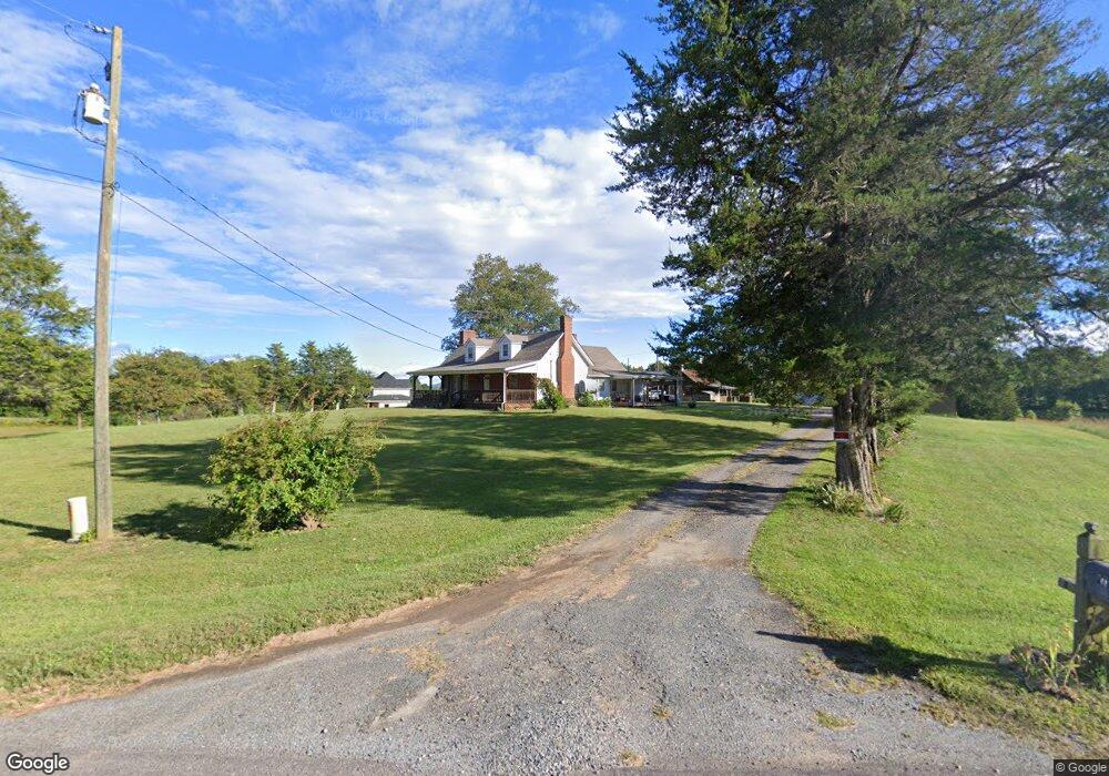
177 Key Rd Ararat, NC 27007
Estimated Value: $245,387 - $346,000
3
Beds
1
Bath
1,802
Sq Ft
$167/Sq Ft
Est. Value
About This Home
This home is located at 177 Key Rd, Ararat, NC 27007 and is currently estimated at $300,097, approximately $166 per square foot. 177 Key Rd is a home located in Surry County with nearby schools including Shoals Elementary School, Pilot Mountain Middle School, and East Surry High School.
Ownership History
Date
Name
Owned For
Owner Type
Purchase Details
Closed on
Aug 27, 2010
Sold by
Hicks Barbara A and Estates Of Ethel Atkins
Bought by
Watson Jimmy R
Current Estimated Value
Home Financials for this Owner
Home Financials are based on the most recent Mortgage that was taken out on this home.
Original Mortgage
$61,549
Outstanding Balance
$40,972
Interest Rate
4.6%
Mortgage Type
Purchase Money Mortgage
Estimated Equity
$259,125
Purchase Details
Closed on
Aug 1, 1999
Purchase Details
Closed on
Oct 1, 1947
Create a Home Valuation Report for This Property
The Home Valuation Report is an in-depth analysis detailing your home's value as well as a comparison with similar homes in the area
Home Values in the Area
Average Home Value in this Area
Purchase History
| Date | Buyer | Sale Price | Title Company |
|---|---|---|---|
| Watson Jimmy R | $108,000 | None Available | |
| -- | -- | -- | |
| -- | -- | -- |
Source: Public Records
Mortgage History
| Date | Status | Borrower | Loan Amount |
|---|---|---|---|
| Open | Watson Jimmy R | $61,549 |
Source: Public Records
Tax History Compared to Growth
Tax History
| Year | Tax Paid | Tax Assessment Tax Assessment Total Assessment is a certain percentage of the fair market value that is determined by local assessors to be the total taxable value of land and additions on the property. | Land | Improvement |
|---|---|---|---|---|
| 2024 | $987 | $146,930 | $50,110 | $96,820 |
| 2023 | $971 | $146,930 | $50,110 | $96,820 |
| 2022 | $971 | $146,930 | $50,110 | $96,820 |
| 2021 | $987 | $146,930 | $50,110 | $96,820 |
| 2020 | $991 | $142,850 | $46,610 | $96,240 |
| 2019 | $988 | $142,850 | $0 | $0 |
| 2018 | $971 | $142,850 | $0 | $0 |
| 2017 | $985 | $142,850 | $0 | $0 |
| 2016 | $985 | $142,850 | $0 | $0 |
| 2013 | -- | $144,430 | $0 | $0 |
Source: Public Records
Map
Nearby Homes
- 167 Buck Hollow Trail
- 2657 Ararat Rd
- 250 High Meadow Trail
- 156 Grace Way
- x Green Meadow Ln Unit 5 Ac S
- 153 Chilton Rd
- 106 Grants Home Trail
- 1222 Bryant Mill Rd
- 181 Fox Walk Ln
- 112 Balcony Ln
- 1398 Simpson Mill Rd
- 123 Old Brintle St
- 129 Seabrook Rd
- 151 Siloam Rd
- 115 Stout Ln
- 906 Long Hill Rd
- 366 Sheep Farm Rd
- 3605 Nc 268
- 3607 N Carolina 268
- 2952 N Carolina 268
- 972 Little Mountain Church Rd
- 241 Key Rd
- 142 Pond Valley Rd
- 000 Little Mountain Church Rd
- 00 Little Mountain Church Rd
- 0 Little Mountain Church Rd
- 959 Little Mountain
- 1034 Little Mountain Church Rd
- 166 Pond Valley Rd
- 1021 Little Mountain Church Rd
- 135 Pond Valley Rd
- 959 Little Mountain Church Rd
- 196 Pond Valley Rd
- 1042 Little Mountain Church Rd
- 1037 Little Mountain Church Rd
- 163 Pond Valley Rd
- 173 Pond Valley Rd
- 900 Little Mountain Church Rd
- 900 Little Mountain Church Rd
- 123 Little MacY Ln