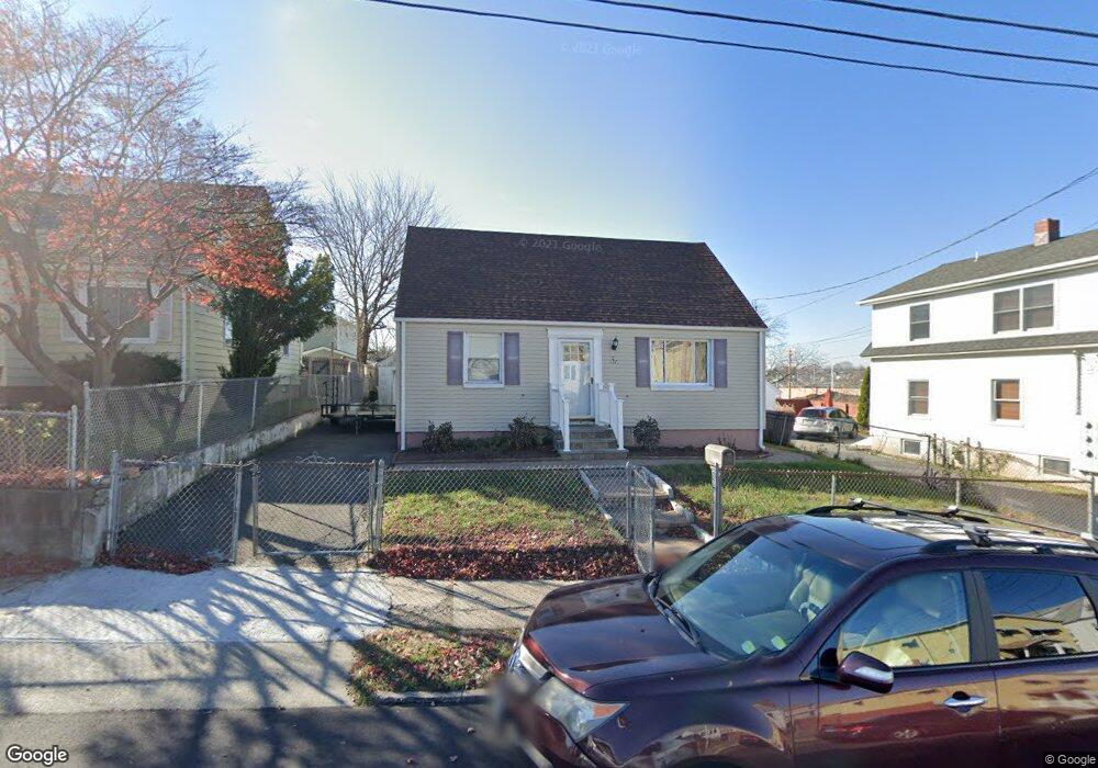
177 King St Bridgeport, CT 06605
Black Rock NeighborhoodEstimated Value: $319,000 - $418,000
2
Beds
1
Bath
1,248
Sq Ft
$294/Sq Ft
Est. Value
About This Home
This home is located at 177 King St, Bridgeport, CT 06605 and is currently estimated at $366,743, approximately $293 per square foot. 177 King St is a home located in Fairfield County with nearby schools including Black Rock School, Bassick High School, and Park City Prep Charter School.
Ownership History
Date
Name
Owned For
Owner Type
Purchase Details
Closed on
Dec 10, 2002
Sold by
Serrano Judith
Bought by
Hidalgo Cesar and Hidalgo Diana
Current Estimated Value
Home Financials for this Owner
Home Financials are based on the most recent Mortgage that was taken out on this home.
Original Mortgage
$125,000
Interest Rate
6.34%
Purchase Details
Closed on
Dec 12, 1994
Sold by
Bakos Beatrice A Est
Bought by
Serrano Judith
Create a Home Valuation Report for This Property
The Home Valuation Report is an in-depth analysis detailing your home's value as well as a comparison with similar homes in the area
Home Values in the Area
Average Home Value in this Area
Purchase History
| Date | Buyer | Sale Price | Title Company |
|---|---|---|---|
| Hidalgo Cesar | $165,000 | -- | |
| Hidalgo Cesar | $165,000 | -- | |
| Serrano Judith | $59,500 | -- | |
| Serrano Judith | $59,500 | -- |
Source: Public Records
Mortgage History
| Date | Status | Borrower | Loan Amount |
|---|---|---|---|
| Open | Serrano Judith | $182,455 | |
| Closed | Serrano Judith | $190,000 | |
| Closed | Serrano Judith | $125,000 |
Source: Public Records
Tax History
| Year | Tax Paid | Tax Assessment Tax Assessment Total Assessment is a certain percentage of the fair market value that is determined by local assessors to be the total taxable value of land and additions on the property. | Land | Improvement |
|---|---|---|---|---|
| 2025 | $7,511 | $172,870 | $109,070 | $63,800 |
| 2024 | $7,511 | $172,870 | $109,070 | $63,800 |
| 2023 | $7,511 | $172,870 | $109,070 | $63,800 |
| 2022 | $7,511 | $172,870 | $109,070 | $63,800 |
| 2021 | $7,511 | $172,870 | $109,070 | $63,800 |
| 2020 | $6,737 | $124,780 | $70,810 | $53,970 |
| 2019 | $6,737 | $124,780 | $70,810 | $53,970 |
| 2018 | $6,784 | $124,780 | $70,810 | $53,970 |
| 2017 | $6,784 | $124,780 | $70,810 | $53,970 |
| 2016 | $6,784 | $124,780 | $70,810 | $53,970 |
| 2015 | $5,748 | $136,220 | $59,500 | $76,720 |
| 2014 | $5,748 | $136,220 | $59,500 | $76,720 |
Source: Public Records
Map
Nearby Homes
- 148 Alfred St
- 855 Brewster St Unit 857
- 287 Hansen Ave
- 165 Bennett St
- 37 Rowsley St Unit 6
- 78 Rowsley St Unit 4
- 22 Monroe St Unit 24
- 117 Nash Ln
- 20 Haddon St Unit 5
- 554 Brewster St Unit 4
- 27 Nash Ln Unit 5
- 188 Monroe St Unit 190
- 31 Whittier St
- 25 Whittier St
- 3250 Fairfield Ave Unit 302
- 132 Gilman St
- 90 Clarkson St
- 156 Halley Ave
- 57 Hibiscus St Unit 1
- 377 Midland St
- 185 King St Unit 1st flr
- 185 King St
- 165 King St
- 188 Princeton St
- 153 King St Unit 157
- 198 Princeton St
- 178 Princeton St
- 180 Princeton St
- 155 King St
- 168 Princeton St
- 176 King St
- 147 King St
- 166 King St
- 186 King St
- 196 King St Unit 200
- 137 King St
- 152 Princeton St
- 146 King St Unit 148
- 26 Flower St Unit 2
- 123 Princeton St
Your Personal Tour Guide
Ask me questions while you tour the home.