177 Lancewood Cir Lufkin, TX 75904
Estimated Value: $268,000 - $325,000
--
Bed
7
Baths
2,481
Sq Ft
$118/Sq Ft
Est. Value
About This Home
This home is located at 177 Lancewood Cir, Lufkin, TX 75904 and is currently estimated at $292,952, approximately $118 per square foot. 177 Lancewood Cir is a home located in Angelina County with nearby schools including W.F. Peavy Primary School, W.H. Bonner Elementary School, and Hudson Middle School.
Ownership History
Date
Name
Owned For
Owner Type
Purchase Details
Closed on
Oct 12, 2021
Sold by
Evans Fern G and Evans Paul Philip
Bought by
Vinson Allen Keith and Vinson Ashley Nichole
Current Estimated Value
Home Financials for this Owner
Home Financials are based on the most recent Mortgage that was taken out on this home.
Original Mortgage
$162,635
Outstanding Balance
$146,374
Interest Rate
2.8%
Mortgage Type
Commercial
Estimated Equity
$146,578
Create a Home Valuation Report for This Property
The Home Valuation Report is an in-depth analysis detailing your home's value as well as a comparison with similar homes in the area
Home Values in the Area
Average Home Value in this Area
Purchase History
| Date | Buyer | Sale Price | Title Company |
|---|---|---|---|
| Vinson Allen Keith | -- | None Available |
Source: Public Records
Mortgage History
| Date | Status | Borrower | Loan Amount |
|---|---|---|---|
| Open | Vinson Allen Keith | $162,635 |
Source: Public Records
Tax History Compared to Growth
Tax History
| Year | Tax Paid | Tax Assessment Tax Assessment Total Assessment is a certain percentage of the fair market value that is determined by local assessors to be the total taxable value of land and additions on the property. | Land | Improvement |
|---|---|---|---|---|
| 2025 | $4,251 | $237,370 | $34,360 | $203,010 |
| 2024 | $4,216 | $235,400 | $34,360 | $201,040 |
| 2023 | $4,006 | $232,100 | $34,360 | $197,740 |
| 2022 | $4,064 | $204,320 | $19,270 | $185,050 |
| 2021 | $3,476 | $184,360 | $19,270 | $165,090 |
| 2020 | $3,168 | $147,850 | $19,850 | $128,000 |
| 2019 | $3,167 | $143,630 | $19,270 | $124,360 |
| 2018 | $855 | $140,010 | $19,270 | $120,740 |
| 2017 | $855 | $136,070 | $21,540 | $114,530 |
| 2016 | $2,947 | $132,310 | $21,540 | $110,770 |
| 2015 | $949 | $132,540 | $21,540 | $111,000 |
| 2014 | $949 | $133,570 | $21,540 | $112,030 |
Source: Public Records
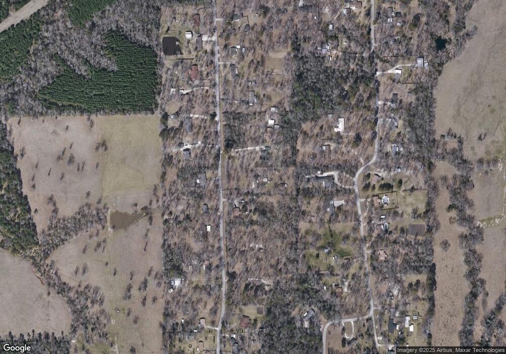
Map
Nearby Homes
- 176 Lancewood Cir
- 151 Lancewood Cir
- Derek RD None
- 339 Liles Ln
- 5740 Hwy 103e
- Lot 1A Welch Hill Top Rd
- Lot 1D Welch Hill Top Rd
- Lot 2 Bethlehem Rd
- 260 Falcon Ave
- 183 Falcon Ave
- 0 Ben Dunn Rd
- PID 29607 Ben Dunn Rd
- PID 29607 Ben Dunn Rd
- TBD James Oates Rd
- 105,115,116,195 Wilcox Dr
- 3202 Bethlehem Rd
- 3335 Bethlehem Rd
- 321 Gordon Way
- 3405 Bethlehem Rd
- 0000 Roy Christie Rd
- 175 Lancewood Cir
- 179 Lancewood Cir
- 178 Lancewood Cir
- 173 Lancewood Cir
- 180 Lancewood Cir
- 171 Lancewood Cir
- 183 Lancewood Cir
- 174 Lancewood Cir
- 174 Lancewood Cir
- 182 Lancewood Cir
- 137 Lancewood Cir
- 184 Lancewood Cir
- 135 Lancewood Cir
- 172 Lancewood Cir
- 169 Lancewood Cir
- 139 Lancewood Cir
- 134 Lancewood Cir
- 127 Lancewood Cir
- 130 Lancewood Cir
- 170 Lancewood Cir