177 Leary Rd Honey Brook, PA 19344
Estimated Value: $558,000 - $613,000
3
Beds
3
Baths
1,572
Sq Ft
$369/Sq Ft
Est. Value
About This Home
This home is located at 177 Leary Rd, Honey Brook, PA 19344 and is currently estimated at $580,826, approximately $369 per square foot. 177 Leary Rd is a home located in Chester County with nearby schools including Kings Highway Elementary School, Coatesville Intermediate High School, and Coatesville Area Senior High School.
Ownership History
Date
Name
Owned For
Owner Type
Purchase Details
Closed on
Dec 18, 2019
Sold by
Esh David M
Bought by
Esh David M and Esh Rebecca L
Current Estimated Value
Home Financials for this Owner
Home Financials are based on the most recent Mortgage that was taken out on this home.
Original Mortgage
$294,000
Outstanding Balance
$260,559
Interest Rate
3.87%
Mortgage Type
New Conventional
Estimated Equity
$320,267
Purchase Details
Closed on
Nov 20, 2018
Sold by
Apanowicz Zdzislaw and Apanowicz Betsy
Bought by
Esh David M
Home Financials for this Owner
Home Financials are based on the most recent Mortgage that was taken out on this home.
Original Mortgage
$304,000
Interest Rate
4.9%
Mortgage Type
Future Advance Clause Open End Mortgage
Purchase Details
Closed on
Mar 12, 2009
Sold by
Apanowicz Zdzislaw and Apanowicz Betsy
Bought by
Apanowicz Zdzislaw and Apanowicz Betsy
Create a Home Valuation Report for This Property
The Home Valuation Report is an in-depth analysis detailing your home's value as well as a comparison with similar homes in the area
Home Values in the Area
Average Home Value in this Area
Purchase History
| Date | Buyer | Sale Price | Title Company |
|---|---|---|---|
| Esh David M | -- | Prime Transfer Inc | |
| Esh David M | $380,000 | None Available | |
| Apanowicz Zdzislaw | -- | None Available |
Source: Public Records
Mortgage History
| Date | Status | Borrower | Loan Amount |
|---|---|---|---|
| Open | Esh David M | $294,000 | |
| Closed | Esh David M | $304,000 |
Source: Public Records
Tax History Compared to Growth
Tax History
| Year | Tax Paid | Tax Assessment Tax Assessment Total Assessment is a certain percentage of the fair market value that is determined by local assessors to be the total taxable value of land and additions on the property. | Land | Improvement |
|---|---|---|---|---|
| 2025 | $8,409 | $170,320 | $63,200 | $107,120 |
| 2024 | $8,409 | $170,320 | $63,200 | $107,120 |
| 2023 | $8,094 | $170,320 | $63,200 | $107,120 |
| 2022 | $7,706 | $170,320 | $63,200 | $107,120 |
| 2021 | $7,580 | $170,320 | $63,200 | $107,120 |
| 2020 | $7,421 | $170,320 | $63,200 | $107,120 |
| 2019 | $7,174 | $170,320 | $63,200 | $107,120 |
| 2018 | $6,861 | $170,320 | $63,200 | $107,120 |
| 2017 | $6,613 | $170,320 | $63,200 | $107,120 |
| 2016 | $5,450 | $170,320 | $63,200 | $107,120 |
| 2015 | $5,450 | $170,320 | $63,200 | $107,120 |
| 2014 | $5,450 | $170,320 | $63,200 | $107,120 |
Source: Public Records
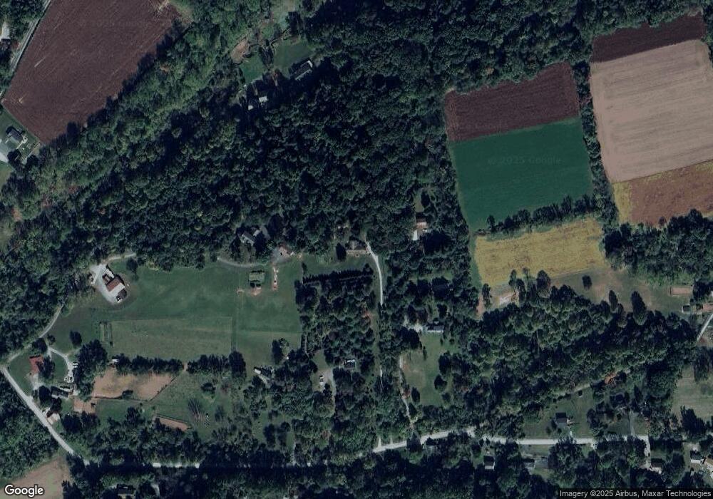
Map
Nearby Homes
- 216 Michael Rd
- 127 Beacon Light Rd
- 180 Lilly Rd
- 116 Cambridge Rd
- 108 Cambridge Rd
- 115 Durham Dr
- 14 Blue Spruce Dr
- 2200 Beaver Dam Rd
- 291 N Sandy Hill Rd
- 317 Compass Rd
- 110 Hillbrook Dr
- 230 Rock Rd
- 109 Brylin Dr
- 471 Ash Rd
- 114 Wendy Cir
- 221 Creamery Rd
- 0 Cambridge Rd
- 283 Cambridge Rd
- 284 Old Mill Rd
- 650 Broad St