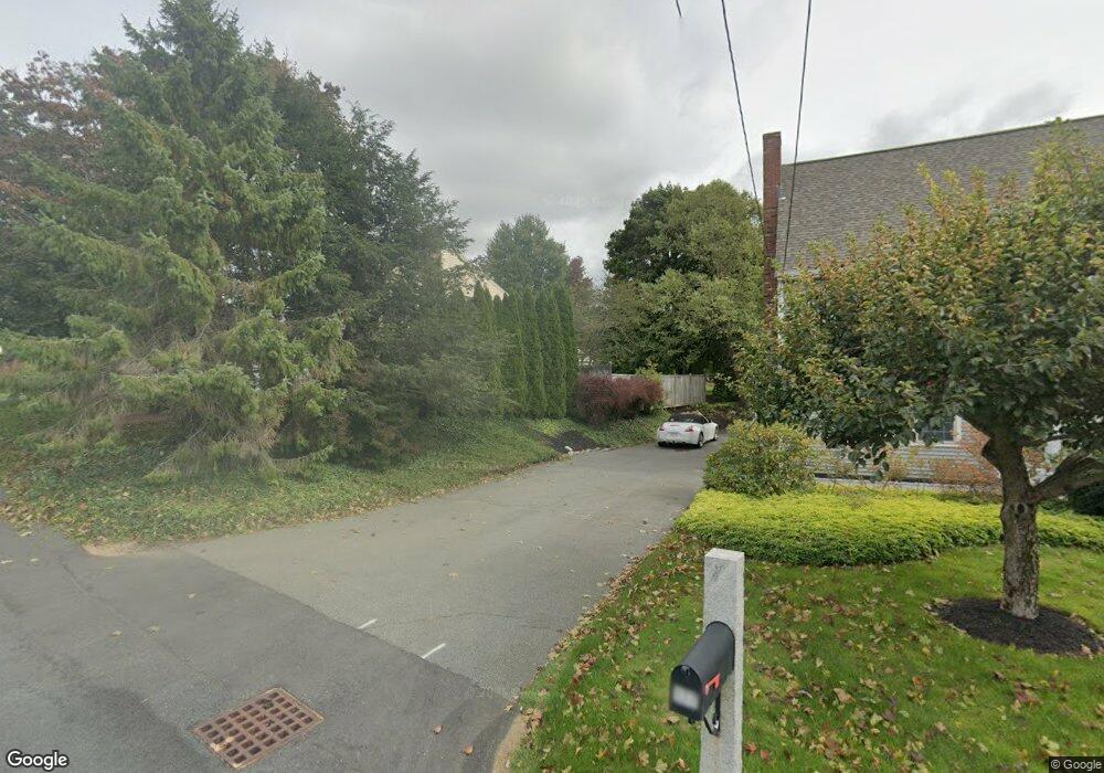
177 Leo Dr Gardner, MA 01440
Estimated Value: $525,000 - $674,000
6
Beds
4
Baths
2,268
Sq Ft
$254/Sq Ft
Est. Value
About This Home
This home is located at 177 Leo Dr, Gardner, MA 01440 and is currently estimated at $575,986, approximately $253 per square foot. 177 Leo Dr is a home located in Worcester County with nearby schools including Gardner High School and Holy Family Academy.
Ownership History
Date
Name
Owned For
Owner Type
Purchase Details
Closed on
Dec 16, 2016
Sold by
Curran John M and Curran Mary B
Bought by
Curran John M and Curran Mary B
Current Estimated Value
Purchase Details
Closed on
Jan 25, 2002
Sold by
Wagenknecht Walter C and Wagenknecht Elizabeth
Bought by
Curran John M and Curran Marybeth
Home Financials for this Owner
Home Financials are based on the most recent Mortgage that was taken out on this home.
Original Mortgage
$165,000
Interest Rate
7.08%
Mortgage Type
Purchase Money Mortgage
Create a Home Valuation Report for This Property
The Home Valuation Report is an in-depth analysis detailing your home's value as well as a comparison with similar homes in the area
Home Values in the Area
Average Home Value in this Area
Purchase History
| Date | Buyer | Sale Price | Title Company |
|---|---|---|---|
| Curran John M | -- | -- | |
| Curran John M | $300,000 | -- |
Source: Public Records
Mortgage History
| Date | Status | Borrower | Loan Amount |
|---|---|---|---|
| Previous Owner | Curran John M | $91,000 | |
| Previous Owner | Curran John M | $163,000 | |
| Previous Owner | Curran John M | $163,000 | |
| Previous Owner | Curran John M | $165,000 |
Source: Public Records
Tax History Compared to Growth
Tax History
| Year | Tax Paid | Tax Assessment Tax Assessment Total Assessment is a certain percentage of the fair market value that is determined by local assessors to be the total taxable value of land and additions on the property. | Land | Improvement |
|---|---|---|---|---|
| 2025 | $63 | $439,600 | $82,100 | $357,500 |
| 2024 | $6,563 | $437,800 | $74,600 | $363,200 |
| 2023 | $6,168 | $382,400 | $73,500 | $308,900 |
| 2022 | $6,241 | $335,700 | $55,700 | $280,000 |
| 2021 | $6,062 | $302,500 | $48,400 | $254,100 |
| 2020 | $5,766 | $292,100 | $48,400 | $243,700 |
| 2019 | $5,569 | $276,500 | $48,400 | $228,100 |
| 2018 | $5,185 | $255,800 | $48,400 | $207,400 |
| 2017 | $5,247 | $256,200 | $48,400 | $207,800 |
| 2016 | $5,029 | $245,700 | $48,400 | $197,300 |
| 2015 | $4,839 | $242,200 | $48,400 | $193,800 |
| 2014 | $4,512 | $239,100 | $56,100 | $183,000 |
Source: Public Records
Map
Nearby Homes
- 108 Fernwood Dr
- 69 Bear Hill Rd
- 643 West St
- 28 Holly Dr
- 940 Clark St
- 14 Watkins St
- 142 Euclid St
- 74 Princeton St
- 0 Hamlet Mill Rd Unit 72816399
- 130 Princeton St
- 31 Euclid St
- 253-255 Park St
- 365 Mellen Rd
- 84 Jean St
- 14 Bates Rd
- 73 Ash St
- 337-343 Parker St
- 120 Graham St
- 104 Lake St Unit 104
- 34 Albert Dr