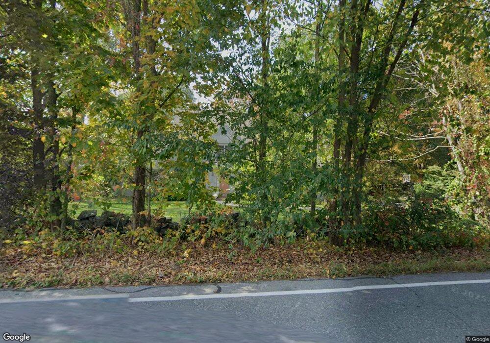
177 Long Hill Rd Bolton, MA 01740
Estimated Value: $1,010,000 - $1,116,000
4
Beds
3
Baths
3,366
Sq Ft
$310/Sq Ft
Est. Value
About This Home
This home is located at 177 Long Hill Rd, Bolton, MA 01740 and is currently estimated at $1,042,480, approximately $309 per square foot. 177 Long Hill Rd is a home located in Worcester County with nearby schools including Florence Sawyer School, Nashoba Regional High School, and First Steps Children's Center.
Ownership History
Date
Name
Owned For
Owner Type
Purchase Details
Closed on
Apr 5, 1995
Sold by
Ajt Builders Inc
Bought by
Mccormack John and Mccormack Lisa
Current Estimated Value
Home Financials for this Owner
Home Financials are based on the most recent Mortgage that was taken out on this home.
Original Mortgage
$123,000
Interest Rate
8.66%
Mortgage Type
Purchase Money Mortgage
Create a Home Valuation Report for This Property
The Home Valuation Report is an in-depth analysis detailing your home's value as well as a comparison with similar homes in the area
Home Values in the Area
Average Home Value in this Area
Purchase History
| Date | Buyer | Sale Price | Title Company |
|---|---|---|---|
| Mccormack John | $226,000 | -- |
Source: Public Records
Mortgage History
| Date | Status | Borrower | Loan Amount |
|---|---|---|---|
| Open | Mccormack John | $121,000 | |
| Closed | Mccormack John | $123,000 |
Source: Public Records
Tax History Compared to Growth
Tax History
| Year | Tax Paid | Tax Assessment Tax Assessment Total Assessment is a certain percentage of the fair market value that is determined by local assessors to be the total taxable value of land and additions on the property. | Land | Improvement |
|---|---|---|---|---|
| 2025 | $15,181 | $913,400 | $218,300 | $695,100 |
| 2024 | $14,710 | $904,700 | $208,300 | $696,400 |
| 2023 | $14,149 | $808,500 | $203,300 | $605,200 |
| 2022 | $13,418 | $675,300 | $183,300 | $492,000 |
| 2021 | $13,344 | $639,700 | $183,300 | $456,400 |
| 2020 | $12,799 | $627,700 | $183,200 | $444,500 |
| 2019 | $12,294 | $600,600 | $183,200 | $417,400 |
| 2018 | $12,227 | $591,800 | $178,300 | $413,500 |
| 2017 | $11,889 | $560,800 | $173,300 | $387,500 |
| 2016 | $11,331 | $541,900 | $158,500 | $383,400 |
| 2015 | $11,405 | $543,600 | $163,400 | $380,200 |
| 2014 | $11,179 | $527,300 | $168,400 | $358,900 |
Source: Public Records
Map
Nearby Homes
- 0 Long Hill Rd
- 154 Long Hill Rd
- 51 Teele Rd
- 346 Long Hill Rd
- 98 Meadow Rd
- 1 Century Mill Rd
- 6 Century Mill Rd
- 76 Woobly Rd
- 4 Richard Rd
- 47 Sugar Rd
- 200 Manning St Unit 6C
- 200 Manning St Unit 14B
- 76 Bolton Woods Way
- 133 Lincoln St
- 184 Old Bolton Rd
- 1 Barracks Rd Unit 1
- 601 Main St
- 12 Old County Rd
- 12 Old County Rd Unit 20
- 2 Edith Rd
- 167 Long Hill Rd
- 186 Long Hill Rd
- 193 Long Hill Rd
- 170 Long Hill Rd
- 164 Long Hill Rd
- 203 Long Hill Rd
- 204 Long Hill Rd
- 215 Long Hill Rd
- 154 Long Hill Rd Unit B
- 23 Annie Moore Rd
- 23 Annie Moore Rd Unit house
- 147 Long Hill Rd
- 41 Annie Moore Rd
- 213 Long Hill Rd
- 37 Annie Moore Rd
- 12 Annie Moore Rd
- 220 Long Hill Rd
- 4 Annie Moore Rd
- 149 Long Hill Rd
- 32 Annie Moore Rd