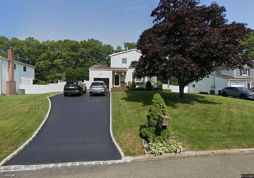
177 Maple St Medford, NY 11763
Estimated Value: $495,000 - $608,000
3
Beds
1
Bath
1,488
Sq Ft
$377/Sq Ft
Est. Value
About This Home
This home is located at 177 Maple St, Medford, NY 11763 and is currently estimated at $561,023, approximately $377 per square foot. 177 Maple St is a home located in Suffolk County with nearby schools including Patchogue-Medford High School, Victory Christian Academy, and Long Island Baptist Academy.
Ownership History
Date
Name
Owned For
Owner Type
Purchase Details
Closed on
Jun 26, 2025
Sold by
Proniewych Donald and Proniewych Amy
Bought by
Proniewych Asset Mgmt T and Padolecchia
Current Estimated Value
Purchase Details
Closed on
Mar 2, 1999
Sold by
Grieco Nicholas J and Grieco Maureen C
Bought by
Proniewych Donald and Proniewych Amy
Home Financials for this Owner
Home Financials are based on the most recent Mortgage that was taken out on this home.
Original Mortgage
$120,000
Interest Rate
6.74%
Mortgage Type
Purchase Money Mortgage
Create a Home Valuation Report for This Property
The Home Valuation Report is an in-depth analysis detailing your home's value as well as a comparison with similar homes in the area
Home Values in the Area
Average Home Value in this Area
Purchase History
| Date | Buyer | Sale Price | Title Company |
|---|---|---|---|
| Proniewych Asset Mgmt T | -- | -- | |
| Proniewych Donald | $155,000 | Stewart Title Insurance Co |
Source: Public Records
Mortgage History
| Date | Status | Borrower | Loan Amount |
|---|---|---|---|
| Previous Owner | Proniewych Donald | $120,000 |
Source: Public Records
Tax History Compared to Growth
Tax History
| Year | Tax Paid | Tax Assessment Tax Assessment Total Assessment is a certain percentage of the fair market value that is determined by local assessors to be the total taxable value of land and additions on the property. | Land | Improvement |
|---|---|---|---|---|
| 2024 | $9,448 | $2,400 | $300 | $2,100 |
| 2023 | $9,448 | $2,400 | $300 | $2,100 |
| 2022 | $8,220 | $2,400 | $300 | $2,100 |
| 2021 | $8,220 | $2,400 | $300 | $2,100 |
| 2020 | $8,511 | $2,400 | $300 | $2,100 |
| 2019 | $8,511 | $0 | $0 | $0 |
| 2018 | $7,944 | $2,400 | $300 | $2,100 |
| 2017 | $7,944 | $2,400 | $300 | $2,100 |
| 2016 | $7,787 | $2,400 | $300 | $2,100 |
| 2015 | -- | $2,400 | $300 | $2,100 |
| 2014 | -- | $2,400 | $300 | $2,100 |
Source: Public Records
Map
Nearby Homes
- 102 Pennsylvania Ave
- 302 Bridgeport Ave
- 359 Jamaica Ave
- 10 Matsunaye Dr
- 61 Pennsylvania Ave
- 74 Oregon Ave
- 3 Lacebark Ln
- 209 Jamaica Ave
- 9 Private Rd
- 187 Robinson Ave
- 5 Torrey Pine Ln
- 52 White Pine Way
- 36 Torrey Pine Ln
- 186 Jamaica Ave
- 75 White Pine Way
- 4 Lisa Ct
- V/L Elmhurst Ave
- 116 E Woodside Ave
- 34 Harlem Ave
- 8 Nantucket Dr