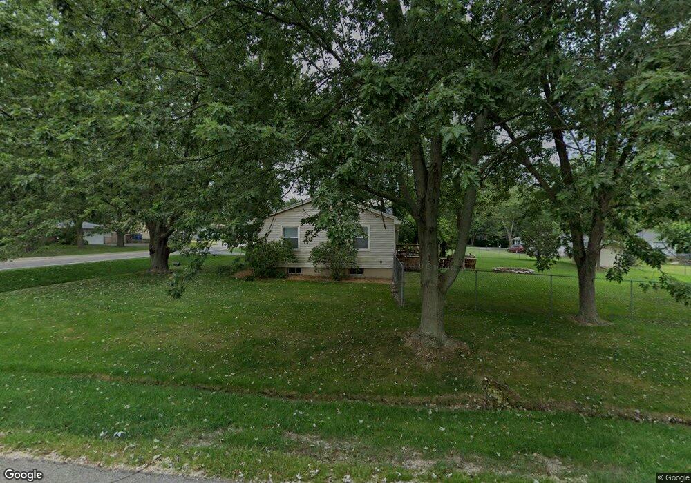
177 Maple Tree Ln Carpentersville, IL 60110
Estimated Value: $259,000 - $299,000
4
Beds
--
Bath
1,144
Sq Ft
$248/Sq Ft
Est. Value
About This Home
This home is located at 177 Maple Tree Ln, Carpentersville, IL 60110 and is currently estimated at $284,148, approximately $248 per square foot. 177 Maple Tree Ln is a home located in Kane County with nearby schools including Parkview Elementary School, Carpentersville Middle School, and Dundee-Crown High School.
Ownership History
Date
Name
Owned For
Owner Type
Purchase Details
Closed on
May 11, 2005
Sold by
Smith Ernest L and Smith Rhonda
Bought by
Knight Douglas D
Current Estimated Value
Home Financials for this Owner
Home Financials are based on the most recent Mortgage that was taken out on this home.
Original Mortgage
$141,200
Outstanding Balance
$74,707
Interest Rate
6.07%
Mortgage Type
Fannie Mae Freddie Mac
Estimated Equity
$209,441
Purchase Details
Closed on
Jul 8, 1997
Sold by
Smith Ernest L
Bought by
Smith Earnest L and Smith Rhonda
Purchase Details
Closed on
Jan 30, 1995
Sold by
Pruban John J and Pruban Christian L
Bought by
Smith Ernest L
Home Financials for this Owner
Home Financials are based on the most recent Mortgage that was taken out on this home.
Original Mortgage
$114,500
Interest Rate
9.21%
Mortgage Type
FHA
Create a Home Valuation Report for This Property
The Home Valuation Report is an in-depth analysis detailing your home's value as well as a comparison with similar homes in the area
Home Values in the Area
Average Home Value in this Area
Purchase History
| Date | Buyer | Sale Price | Title Company |
|---|---|---|---|
| Knight Douglas D | $176,500 | First American Title Ins Co | |
| Smith Earnest L | -- | -- | |
| Smith Ernest L | $118,000 | -- |
Source: Public Records
Mortgage History
| Date | Status | Borrower | Loan Amount |
|---|---|---|---|
| Open | Knight Douglas D | $141,200 | |
| Previous Owner | Smith Ernest L | $114,500 | |
| Closed | Knight Douglas D | $35,300 |
Source: Public Records
Tax History Compared to Growth
Tax History
| Year | Tax Paid | Tax Assessment Tax Assessment Total Assessment is a certain percentage of the fair market value that is determined by local assessors to be the total taxable value of land and additions on the property. | Land | Improvement |
|---|---|---|---|---|
| 2024 | $5,255 | $81,102 | $11,425 | $69,677 |
| 2023 | $4,886 | $72,973 | $10,280 | $62,693 |
| 2022 | $4,477 | $63,347 | $10,280 | $53,067 |
| 2021 | $4,329 | $59,812 | $9,706 | $50,106 |
| 2020 | $4,235 | $58,467 | $9,488 | $48,979 |
| 2019 | $4,101 | $55,503 | $9,007 | $46,496 |
| 2018 | $4,079 | $53,871 | $8,829 | $45,042 |
| 2017 | $3,887 | $50,394 | $8,259 | $42,135 |
| 2016 | $4,143 | $44,589 | $13,691 | $30,898 |
| 2015 | -- | $41,781 | $12,829 | $28,952 |
| 2014 | -- | $40,627 | $12,475 | $28,152 |
| 2013 | -- | $41,871 | $12,857 | $29,014 |
Source: Public Records
Map
Nearby Homes
- 174 Pheasant Trail
- 169 Maple Tree Ln
- 172 Pheasant Trail
- 189 Skyline Dr
- 191 Skyline Dr
- 170 Pheasant Trail
- 193 Skyline Dr
- 174 Maple Tree Ln
- 166 Pheasant Trail
- 161 Maple Tree Ln
- 166 Maple Tree Ln
- 177 Skyline Dr
- 162 Pheasant Trail
- 203 Skyline Dr
- 144 Austin Ave
- 146 Austin Ave
- 142 Austin Ave
- 175 Pheasant Trail
- 177 Birchwood Rd
- 148 Austin Ave