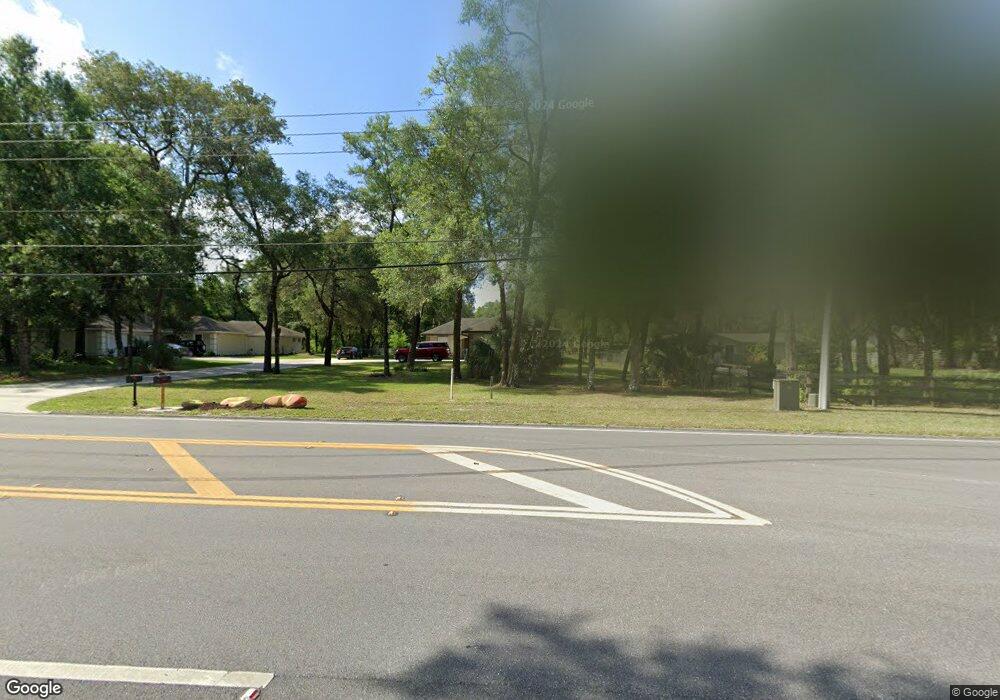
177 Mcgregor Rd Deland, FL 32720
Estimated Value: $580,000 - $699,000
3
Beds
4
Baths
2,698
Sq Ft
$241/Sq Ft
Est. Value
About This Home
This home is located at 177 Mcgregor Rd, Deland, FL 32720 and is currently estimated at $651,355, approximately $241 per square foot. 177 Mcgregor Rd is a home located in Volusia County with nearby schools including Woodward Avenue Elementary School, Deland High School, and Deland Middle School.
Ownership History
Date
Name
Owned For
Owner Type
Purchase Details
Closed on
Jul 31, 2009
Sold by
Anderson Richard A
Bought by
Dworin Harvey D
Current Estimated Value
Home Financials for this Owner
Home Financials are based on the most recent Mortgage that was taken out on this home.
Original Mortgage
$119,000
Outstanding Balance
$78,180
Interest Rate
5.36%
Mortgage Type
Purchase Money Mortgage
Estimated Equity
$573,175
Purchase Details
Closed on
Jan 7, 2008
Sold by
Wilburn Skip
Bought by
Anderson Richard A
Create a Home Valuation Report for This Property
The Home Valuation Report is an in-depth analysis detailing your home's value as well as a comparison with similar homes in the area
Home Values in the Area
Average Home Value in this Area
Purchase History
| Date | Buyer | Sale Price | Title Company |
|---|---|---|---|
| Dworin Harvey D | $265,000 | Esquire Title Services Inc | |
| Anderson Richard A | $275,000 | Attorney |
Source: Public Records
Mortgage History
| Date | Status | Borrower | Loan Amount |
|---|---|---|---|
| Open | Dworin Harvey D | $119,000 |
Source: Public Records
Tax History Compared to Growth
Tax History
| Year | Tax Paid | Tax Assessment Tax Assessment Total Assessment is a certain percentage of the fair market value that is determined by local assessors to be the total taxable value of land and additions on the property. | Land | Improvement |
|---|---|---|---|---|
| 2025 | $357 | $407,453 | -- | -- |
| 2024 | $357 | $395,970 | -- | -- |
| 2023 | $357 | $384,437 | $0 | $0 |
| 2022 | $334 | $373,240 | $0 | $0 |
| 2021 | $334 | $362,369 | $0 | $0 |
| 2020 | $327 | $357,366 | $0 | $0 |
| 2019 | $327 | $349,331 | $0 | $0 |
| 2018 | $310 | $342,817 | $0 | $0 |
| 2017 | $282 | $335,766 | $0 | $0 |
| 2016 | $262 | $328,860 | $0 | $0 |
| 2015 | $2,831 | $160,334 | $0 | $0 |
| 2014 | $2,802 | $159,062 | $0 | $0 |
Source: Public Records
Map
Nearby Homes
- 129 Crystal Oak Dr
- 2096 Chinaberry Ln
- 201 Dyson Dr
- 307 Tammie Sue Ln
- 205 Merlot St
- 2450 S Glen Eagles Dr
- 220 Blue Crystal Dr
- 2480 S Glen Eagles Dr
- 2412 Regency Park Dr
- 216 Blue Crystal Dr
- 2400 S Glen Eagles Dr
- 555 Morgan Wood Dr
- 541 Morgan Wood Dr
- 632 Meadow Sage Dr
- 565 Morgan Wood Dr
- 2401 Oxmoor Dr
- 0 No Street 5 637 Sf Unit MFRV4940765
- 2368 Oxmoor Dr
- 701 Fringe Tree Ct
- 521 Morgan Wood Dr
- 179 Mcgregor Rd
- 173 Mcgregor Rd
- 188 Crystal Oak Dr
- 191 Mcgregor Rd
- 186 Crystal Oak Dr
- 156 Mcgregor Rd Unit 158
- 183 Mcgregor Rd
- 103 Crystal Oak Dr
- 101 Crystal Oak Dr
- 105 Crystal Oak Dr
- 187 Crystal Oak Dr
- 107 Crystal Oak Dr
- 215 Mcgregor Rd
- 109 Crystal Oak Dr
- 187 Mcgregor Rd
- 185 Crystal Oak Dr
- 390 Sandy Hill
- 249 Mcgregor Rd
- 181 Crystal Oak Dr
- 179 Crystal Oak Dr