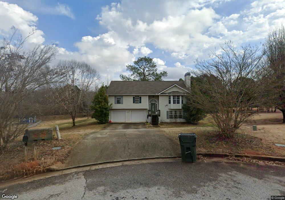
177 Michael Ln McDonough, GA 30252
Estimated Value: $304,000 - $340,000
4
Beds
3
Baths
2,552
Sq Ft
$126/Sq Ft
Est. Value
About This Home
This home is located at 177 Michael Ln, McDonough, GA 30252 and is currently estimated at $321,785, approximately $126 per square foot. 177 Michael Ln is a home located in Henry County with nearby schools including New Hope Elementary School, Locust Grove Middle School, and Locust Grove High School.
Ownership History
Date
Name
Owned For
Owner Type
Purchase Details
Closed on
Aug 18, 2006
Sold by
Richmond Leslie
Bought by
Radcliffe Donald R and Radcliffe April L
Current Estimated Value
Home Financials for this Owner
Home Financials are based on the most recent Mortgage that was taken out on this home.
Original Mortgage
$30,800
Outstanding Balance
$2,964
Interest Rate
9.25%
Mortgage Type
Unknown
Estimated Equity
$318,821
Purchase Details
Closed on
Feb 17, 2006
Sold by
Ives Randi L
Bought by
Richmond Leslie
Home Financials for this Owner
Home Financials are based on the most recent Mortgage that was taken out on this home.
Original Mortgage
$137,750
Interest Rate
8.5%
Mortgage Type
New Conventional
Purchase Details
Closed on
Oct 26, 1998
Sold by
Green Hm Builders Inc
Bought by
Ives Scott and Ives Randi
Home Financials for this Owner
Home Financials are based on the most recent Mortgage that was taken out on this home.
Original Mortgage
$111,180
Interest Rate
6.58%
Mortgage Type
VA
Create a Home Valuation Report for This Property
The Home Valuation Report is an in-depth analysis detailing your home's value as well as a comparison with similar homes in the area
Home Values in the Area
Average Home Value in this Area
Purchase History
| Date | Buyer | Sale Price | Title Company |
|---|---|---|---|
| Radcliffe Donald R | $154,000 | -- | |
| Richmond Leslie | $145,000 | -- | |
| Ives Scott | $109,000 | -- |
Source: Public Records
Mortgage History
| Date | Status | Borrower | Loan Amount |
|---|---|---|---|
| Open | Radcliffe Donald R | $30,800 | |
| Open | Radcliffe Donald R | $123,200 | |
| Previous Owner | Richmond Leslie | $137,750 | |
| Previous Owner | Ives Scott | $111,180 |
Source: Public Records
Tax History
| Year | Tax Paid | Tax Assessment Tax Assessment Total Assessment is a certain percentage of the fair market value that is determined by local assessors to be the total taxable value of land and additions on the property. | Land | Improvement |
|---|---|---|---|---|
| 2025 | $4,963 | $123,376 | $14,000 | $109,376 |
| 2024 | $4,963 | $122,720 | $14,000 | $108,720 |
| 2023 | $4,632 | $118,520 | $14,000 | $104,520 |
| 2022 | $4,110 | $104,920 | $14,000 | $90,920 |
| 2021 | $3,091 | $78,360 | $14,000 | $64,360 |
| 2020 | $2,915 | $73,760 | $12,000 | $61,760 |
| 2019 | $2,747 | $69,400 | $12,000 | $57,400 |
| 2018 | $2,574 | $64,880 | $10,800 | $54,080 |
| 2016 | $2,260 | $56,680 | $10,000 | $46,680 |
| 2015 | $2,155 | $52,320 | $8,000 | $44,320 |
| 2014 | $2,125 | $50,960 | $10,000 | $40,960 |
Source: Public Records
Map
Nearby Homes
- 173 Michael Ln
- 690 Laney Rd
- 310 Cattlemans Cir
- 136 Ducati Dr
- 356 Cattlemans Cir
- 328 Cattlemans Cir
- 0 S Ola Rd Unit 10714160
- 976 S Laney Rd
- 992 S Laney Rd
- 732 New Hope Rd
- 383 Laney Rd
- 954 New Hope Rd
- 934 New Hope Rd
- 874 New Hope Rd
- 914 New Hope Rd
- 373 Laney Rd
- 363 Laney Rd
- 125 Karen Dr
- 290 New Hope Rd
- 175 Laney Ct Unit 1
- 179 Michael Ln
- 178 Michael Ln
- 169 Michael Ln
- 174 Michael Ln
- 170 Michael Ln
- 643 Laney Rd
- 631 Laney Rd
- 609 Laney Rd
- 615 Laney Rd
- 166 Michael Ln
- 302 Cattlemans Cir
- 647 Laney Rd
- 300 Cattlemans Cir
- 655 Laney Rd
- 304 Cattlemans Cir
- 607 Laney Rd
- 161 Michael Ln
- 162 Michael Ln
- 378 Cattlemans Cir
- 378 Cattlemans Cir Unit 40
Your Personal Tour Guide
Ask me questions while you tour the home.