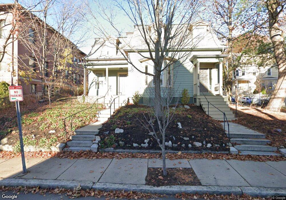
177 Morrison Ave Somerville, MA 02144
Davis Square NeighborhoodEstimated Value: $1,357,000 - $2,052,622
4
Beds
3
Baths
2,433
Sq Ft
$758/Sq Ft
Est. Value
About This Home
This home is located at 177 Morrison Ave, Somerville, MA 02144 and is currently estimated at $1,844,156, approximately $757 per square foot. 177 Morrison Ave is a home located in Middlesex County with nearby schools including Somerville High School, St. Clement Elementary School, and Wild Rose Montessori School.
Ownership History
Date
Name
Owned For
Owner Type
Purchase Details
Closed on
Sep 8, 2016
Sold by
Dawson Ree
Bought by
Blumsack David E
Current Estimated Value
Home Financials for this Owner
Home Financials are based on the most recent Mortgage that was taken out on this home.
Original Mortgage
$906,400
Outstanding Balance
$722,832
Interest Rate
3.38%
Mortgage Type
Unknown
Estimated Equity
$1,121,324
Create a Home Valuation Report for This Property
The Home Valuation Report is an in-depth analysis detailing your home's value as well as a comparison with similar homes in the area
Home Values in the Area
Average Home Value in this Area
Purchase History
| Date | Buyer | Sale Price | Title Company |
|---|---|---|---|
| Blumsack David E | $1,133,000 | -- |
Source: Public Records
Mortgage History
| Date | Status | Borrower | Loan Amount |
|---|---|---|---|
| Open | Blumsack David E | $906,400 |
Source: Public Records
Tax History Compared to Growth
Tax History
| Year | Tax Paid | Tax Assessment Tax Assessment Total Assessment is a certain percentage of the fair market value that is determined by local assessors to be the total taxable value of land and additions on the property. | Land | Improvement |
|---|---|---|---|---|
| 2025 | $17,397 | $1,594,600 | $766,900 | $827,700 |
| 2024 | $16,398 | $1,558,700 | $766,900 | $791,800 |
| 2023 | $16,044 | $1,551,600 | $766,900 | $784,700 |
| 2022 | $15,070 | $1,480,400 | $730,300 | $750,100 |
| 2021 | $13,855 | $1,359,700 | $725,000 | $634,700 |
| 2020 | $13,300 | $1,318,100 | $725,500 | $592,600 |
| 2019 | $12,613 | $1,172,200 | $660,400 | $511,800 |
| 2018 | $11,664 | $1,031,300 | $600,400 | $430,900 |
| 2017 | $10,099 | $865,400 | $566,400 | $299,000 |
| 2016 | $9,880 | $788,500 | $505,800 | $282,700 |
| 2015 | $9,368 | $742,900 | $467,100 | $275,800 |
Source: Public Records
Map
Nearby Homes
- 371 Highland Ave
- 353 Summer St Unit 310
- 79 Willow Ave
- 34 Day St
- 31 Rogers Ave
- 39 Rogers Ave
- 12 Windsor Rd Unit 1
- 23 Highland Rd
- 3 Fairlee St
- 50 Howard St Unit 5
- 26 Warner St
- 7 Beech St Unit 319
- 7 Beech St Unit 211
- 20 Electric Ave Unit 2
- 27 Boston Ave
- 12 Rindge Ave Unit 1
- 69 Boston Ave
- 8 Cogswell Ave
- 17 Shea Rd
- 13 Warwick St
- 177 Morrison Ave Unit 2
- 8 Morrison Place
- 173 Morrison Ave
- 5 Morrison Place
- 185 Morrison Ave Unit 3-G
- 185 Morrison Ave Unit G3
- 185 Morrison Ave Unit G2
- 185 Morrison Ave Unit G1
- 185 Morrison Ave Unit 304
- 185 Morrison Ave Unit 303
- 185 Morrison Ave Unit 302
- 185 Morrison Ave Unit 301
- 185 Morrison Ave Unit 204
- 185 Morrison Ave Unit 203
- 185 Morrison Ave Unit 202
- 185 Morrison Ave Unit 201
- 185 Morrison Ave Unit 105
- 185 Morrison Ave Unit 104
- 185 Morrison Ave Unit 103
- 185 Morrison Ave Unit 102