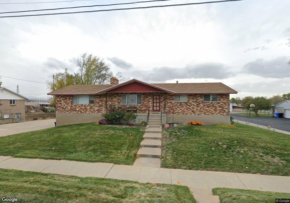
177 N 800 W West Bountiful, UT 84087
Estimated Value: $668,000 - $1,063,000
4
Beds
4
Baths
1,725
Sq Ft
$472/Sq Ft
Est. Value
About This Home
This home is located at 177 N 800 W, West Bountiful, UT 84087 and is currently estimated at $814,049, approximately $471 per square foot. 177 N 800 W is a home located in Davis County with nearby schools including West Bountiful Elementary School, Bountiful Junior High School, and Viewmont High School.
Ownership History
Date
Name
Owned For
Owner Type
Purchase Details
Closed on
Nov 29, 2023
Sold by
Froyd Richard K and Froyd Margaret K
Bought by
Richard And Margaret Froyd Family Trust and Froyd
Current Estimated Value
Purchase Details
Closed on
Jul 29, 2009
Sold by
Froyd Richard K and Froyd Margaret
Bought by
Froyd Richard K and Froyd Margaret K
Home Financials for this Owner
Home Financials are based on the most recent Mortgage that was taken out on this home.
Original Mortgage
$150,000
Interest Rate
5.31%
Mortgage Type
New Conventional
Purchase Details
Closed on
Jul 14, 2005
Sold by
Wilson Dorothy Jean
Bought by
Froyd Richard K and Froyd Margaret
Create a Home Valuation Report for This Property
The Home Valuation Report is an in-depth analysis detailing your home's value as well as a comparison with similar homes in the area
Home Values in the Area
Average Home Value in this Area
Purchase History
| Date | Buyer | Sale Price | Title Company |
|---|---|---|---|
| Richard And Margaret Froyd Family Trust | -- | None Listed On Document | |
| Froyd Richard K | -- | First American Title | |
| Froyd Richard K | -- | -- |
Source: Public Records
Mortgage History
| Date | Status | Borrower | Loan Amount |
|---|---|---|---|
| Previous Owner | Froyd Richard K | $150,000 |
Source: Public Records
Tax History Compared to Growth
Tax History
| Year | Tax Paid | Tax Assessment Tax Assessment Total Assessment is a certain percentage of the fair market value that is determined by local assessors to be the total taxable value of land and additions on the property. | Land | Improvement |
|---|---|---|---|---|
| 2025 | $4,484 | $358,750 | $251,500 | $107,250 |
| 2024 | $4,153 | $343,150 | $215,000 | $128,150 |
| 2023 | $3,932 | $590,000 | $364,078 | $225,922 |
| 2022 | $4,174 | $341,000 | $195,364 | $145,636 |
| 2021 | $3,823 | $496,000 | $305,741 | $190,259 |
| 2020 | $3,343 | $425,000 | $248,614 | $176,386 |
| 2019 | $3,360 | $426,000 | $226,178 | $199,822 |
| 2018 | $3,018 | $372,000 | $194,490 | $177,510 |
| 2016 | $2,627 | $181,813 | $98,917 | $82,896 |
| 2015 | $2,544 | $169,548 | $98,917 | $70,631 |
| 2014 | $2,163 | $148,949 | $98,917 | $50,032 |
| 2013 | -- | $121,472 | $57,503 | $63,969 |
Source: Public Records
Map
Nearby Homes
- 767 W 220 N
- 680 W 500 S Unit 22
- 680 W 500 S Unit 17
- 280 N 1100 W
- 340 N 500 W Unit 204
- 399 W 400 N Unit 47
- 167 S 425 W
- 790 N 500 W
- 314 W Center St Unit D135
- 314 W Center St Unit D159
- 314 W Center St Unit E150
- 155 N Peregrine Ln W
- 75 N Peregrine Ln W Unit 8
- 825 W 1320 N
- 131 W 25 N Unit 4
- 147 W 25 N Unit 5
- 1067 W Audrey Ln Unit 8
- 758 W 1000 S
- 1075 W Audrey Ln Unit 6
- 1056 W Audrey Ln Unit 14