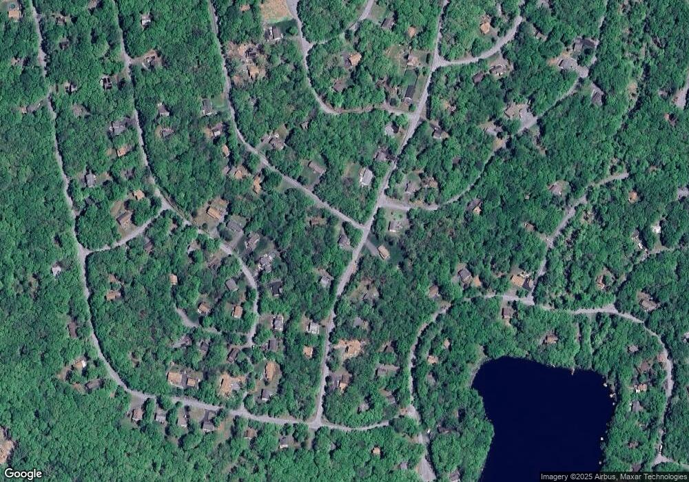
177 N Forrest Dr Milford, PA 18337
Estimated Value: $266,000 - $298,472
3
Beds
2
Baths
1,108
Sq Ft
$255/Sq Ft
Est. Value
About This Home
This home is located at 177 N Forrest Dr, Milford, PA 18337 and is currently estimated at $282,236, approximately $254 per square foot. 177 N Forrest Dr is a home located in Pike County with nearby schools including Delaware Valley High School.
Ownership History
Date
Name
Owned For
Owner Type
Purchase Details
Closed on
Apr 21, 2005
Sold by
Vannatta Realty & Builders Inc
Bought by
Cronin Michael and Cronin Amanda
Current Estimated Value
Home Financials for this Owner
Home Financials are based on the most recent Mortgage that was taken out on this home.
Original Mortgage
$185,839
Outstanding Balance
$97,267
Interest Rate
6%
Mortgage Type
Adjustable Rate Mortgage/ARM
Estimated Equity
$184,969
Create a Home Valuation Report for This Property
The Home Valuation Report is an in-depth analysis detailing your home's value as well as a comparison with similar homes in the area
Home Values in the Area
Average Home Value in this Area
Purchase History
| Date | Buyer | Sale Price | Title Company |
|---|---|---|---|
| Cronin Michael | $195,600 | None Available |
Source: Public Records
Mortgage History
| Date | Status | Borrower | Loan Amount |
|---|---|---|---|
| Open | Cronin Michael | $185,839 |
Source: Public Records
Tax History Compared to Growth
Tax History
| Year | Tax Paid | Tax Assessment Tax Assessment Total Assessment is a certain percentage of the fair market value that is determined by local assessors to be the total taxable value of land and additions on the property. | Land | Improvement |
|---|---|---|---|---|
| 2025 | $3,946 | $26,120 | $2,000 | $24,120 |
| 2024 | $3,946 | $26,120 | $2,000 | $24,120 |
| 2023 | $3,887 | $26,120 | $2,000 | $24,120 |
| 2022 | $3,783 | $26,120 | $2,000 | $24,120 |
| 2021 | $3,744 | $26,120 | $2,000 | $24,120 |
| 2020 | $3,725 | $26,120 | $2,000 | $24,120 |
| 2019 | $3,597 | $26,120 | $2,000 | $24,120 |
| 2018 | $3,597 | $26,120 | $2,000 | $24,120 |
| 2017 | $3,500 | $26,120 | $2,000 | $24,120 |
| 2016 | $0 | $26,120 | $2,000 | $24,120 |
| 2015 | -- | $26,120 | $2,000 | $24,120 |
| 2014 | -- | $26,120 | $2,000 | $24,120 |
Source: Public Records
Map
Nearby Homes
- Lot 28 N Forrest Dr
- 107 Kiel Rd
- 16/9 Cottonwood Ct
- 0 Cottonwood Ct
- 163 Butternut Rd
- 0 Butternut Rd
- 0 Redwood Lot 53 Rd Unit PWBPW252492
- Lot 34 Walnut Rd
- 0 Butternut & Walnut Corner Unit PWBPW252500
- 110 Gold Key Rd
- 193 Gold Key Rd
- 0 Route 739 Unit 19-5204
- 348 Gold Key Rd
- 0 Gold Key Rd
- 211 Gold Key Rd
- 3 Bond Ct
- 115 Yale Place
- 507 Log Tavern Rd
- 0 Route 739 Unit PWBPW235327
- 132 S Shore Dr
- 176 N Forrest Dr
- 181 N Forrest Dr
- 142 Dogwood Terrace
- 180 N Forrest Dr
- 169 N Forrest Dr
- 140 Spruce Dr
- 144 Stonehenge Rd
- 142 Spruce Dr
- 184 N Forrest Dr
- 184 N Forrest Dr
- 185 N Forrest Dr
- 167 N Forrest Dr
- 138 Spruce Dr
- 137 Circle Dr
- 146 Spruce Dr
- 141 Stonehenge Rd
- 137 Dogwood Terrace
- 2769 Gold Key Estate Unit 769
- 34 Lancaster Rd
- 143 Circle Dr
