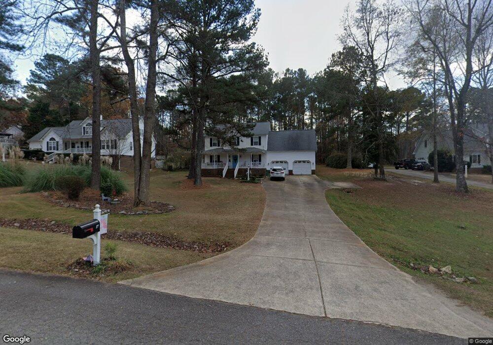
177 Palmer Dr Clayton, NC 27527
East Clayton NeighborhoodEstimated Value: $390,400 - $403,000
3
Beds
3
Baths
2,080
Sq Ft
$191/Sq Ft
Est. Value
About This Home
This home is located at 177 Palmer Dr, Clayton, NC 27527 and is currently estimated at $397,600, approximately $191 per square foot. 177 Palmer Dr is a home located in Johnston County with nearby schools including Powhatan Elementary School, Riverwood Middle School, and Clayton High.
Ownership History
Date
Name
Owned For
Owner Type
Purchase Details
Closed on
Dec 16, 2016
Sold by
Lee Thomas A and Lee Tanya R
Bought by
Sheets Jack and Sheets Patricia
Current Estimated Value
Home Financials for this Owner
Home Financials are based on the most recent Mortgage that was taken out on this home.
Original Mortgage
$215,916
Outstanding Balance
$176,206
Interest Rate
3.87%
Mortgage Type
FHA
Estimated Equity
$221,394
Purchase Details
Closed on
Dec 21, 2004
Sold by
Citifinancial Mortgage Company Inc
Bought by
Lee Thomas A and Lee Tanya R
Home Financials for this Owner
Home Financials are based on the most recent Mortgage that was taken out on this home.
Original Mortgage
$114,000
Interest Rate
5.62%
Mortgage Type
New Conventional
Purchase Details
Closed on
Aug 19, 2004
Sold by
Citifinancial Mortgage Company
Bought by
Richmond Donald K
Create a Home Valuation Report for This Property
The Home Valuation Report is an in-depth analysis detailing your home's value as well as a comparison with similar homes in the area
Home Values in the Area
Average Home Value in this Area
Purchase History
| Date | Buyer | Sale Price | Title Company |
|---|---|---|---|
| Sheets Jack | $220,000 | None Available | |
| Lee Thomas A | $143,000 | None Available | |
| Richmond Donald K | $124,500 | -- |
Source: Public Records
Mortgage History
| Date | Status | Borrower | Loan Amount |
|---|---|---|---|
| Open | Sheets Jack | $215,916 | |
| Previous Owner | Lee Thomas A | $114,000 |
Source: Public Records
Tax History Compared to Growth
Tax History
| Year | Tax Paid | Tax Assessment Tax Assessment Total Assessment is a certain percentage of the fair market value that is determined by local assessors to be the total taxable value of land and additions on the property. | Land | Improvement |
|---|---|---|---|---|
| 2025 | $2,338 | $368,220 | $85,000 | $283,220 |
| 2024 | $1,761 | $217,420 | $48,000 | $169,420 |
| 2023 | $1,826 | $217,420 | $48,000 | $169,420 |
| 2022 | $1,843 | $217,420 | $48,000 | $169,420 |
| 2021 | $1,843 | $217,420 | $48,000 | $169,420 |
| 2020 | $1,908 | $217,420 | $48,000 | $169,420 |
| 2019 | $1,908 | $217,420 | $48,000 | $169,420 |
| 2018 | $1,594 | $177,630 | $38,000 | $139,630 |
| 2017 | $1,594 | $177,630 | $38,000 | $139,630 |
| 2016 | $1,559 | $177,630 | $38,000 | $139,630 |
| 2015 | $1,559 | $177,630 | $38,000 | $139,630 |
| 2014 | $1,559 | $177,630 | $38,000 | $139,630 |
Source: Public Records
Map
Nearby Homes
- 235 Sugarberry Ln
- 118 Hemlock Green Ln
- 75 Mcguire Ln
- 44 Orange Blossom Ct
- 821 Glen Laurel Rd
- 457 Oak Alley Trail
- 33 Davidson St
- 902 Birkdale Dr
- 297 Hawkesburg Dr
- 131 Bridgham Place
- 503 Neuse Ridge Dr
- 221 Parkridge Dr
- 217 Parkridge Dr
- 104 Avenel Ln
- 116 Townsend Dr
- 3305 Wisteria Dr
- 9439 Clayton Blvd
- 809 Parkridge Dr
- 47 Whitley Ridge Dr
- 1001 Neuse Ridge Dr
- 175 Palmer Dr
- 179 Palmer Dr
- 181 Palmer Dr
- 173 Palmer Dr
- 183 Palmer Dr
- 180 Palmer Dr
- 176 Palmer Dr
- 174 Palmer Dr
- 506 Crenshaw Ct
- 172 Palmer Dr
- 170 Palmer Dr
- 508 Crenshaw Ct
- 504 Crenshaw Ct
- 168 Palmer Dr
- 502 Crenshaw Ct
- 166 Palmer Dr
- 506 Mulberry Banks Dr
- 509 Crenshaw Ct
- 460 Mulberry Banks Dr
- 482 Mulberry Banks Dr