177 Pinewood Dr Eatonton, GA 31024
Estimated Value: $476,000 - $594,000
--
Bed
--
Bath
1,560
Sq Ft
$334/Sq Ft
Est. Value
About This Home
This home is located at 177 Pinewood Dr, Eatonton, GA 31024 and is currently estimated at $520,686, approximately $333 per square foot. 177 Pinewood Dr is a home with nearby schools including Putnam County Primary School, Putnam County Elementary School, and Putnam County Middle School.
Ownership History
Date
Name
Owned For
Owner Type
Purchase Details
Closed on
Mar 11, 2008
Sold by
Not Provided
Bought by
Melissas Leon A and Melissas Mary Tena
Current Estimated Value
Home Financials for this Owner
Home Financials are based on the most recent Mortgage that was taken out on this home.
Original Mortgage
$242,250
Interest Rate
5.62%
Mortgage Type
New Conventional
Purchase Details
Closed on
Jan 10, 2007
Sold by
Not Provided
Bought by
Melissas Leon A and Melissas Mary Tena
Purchase Details
Closed on
Jan 1, 1974
Bought by
Gresham Wm D and Gresham Mrs
Create a Home Valuation Report for This Property
The Home Valuation Report is an in-depth analysis detailing your home's value as well as a comparison with similar homes in the area
Home Values in the Area
Average Home Value in this Area
Purchase History
| Date | Buyer | Sale Price | Title Company |
|---|---|---|---|
| Melissas Leon A | $182,000 | -- | |
| Melissas Leon A | -- | -- | |
| Gresham Wm D | $6,000 | -- |
Source: Public Records
Mortgage History
| Date | Status | Borrower | Loan Amount |
|---|---|---|---|
| Closed | Melissas Leon A | $242,250 |
Source: Public Records
Tax History Compared to Growth
Tax History
| Year | Tax Paid | Tax Assessment Tax Assessment Total Assessment is a certain percentage of the fair market value that is determined by local assessors to be the total taxable value of land and additions on the property. | Land | Improvement |
|---|---|---|---|---|
| 2024 | $2,458 | $142,703 | $80,000 | $62,703 |
| 2023 | $2,715 | $150,390 | $80,000 | $70,390 |
| 2022 | $2,103 | $104,716 | $60,000 | $44,716 |
| 2021 | $2,159 | $94,737 | $54,000 | $40,737 |
| 2020 | $2,121 | $87,541 | $53,500 | $34,041 |
| 2019 | $2,143 | $86,894 | $53,500 | $33,394 |
| 2018 | $1,960 | $78,449 | $53,500 | $24,949 |
| 2017 | $1,769 | $78,449 | $53,500 | $24,949 |
| 2016 | $1,771 | $78,449 | $53,500 | $24,949 |
| 2015 | $1,707 | $78,449 | $53,500 | $24,950 |
| 2014 | $1,709 | $78,450 | $53,500 | $24,950 |
Source: Public Records
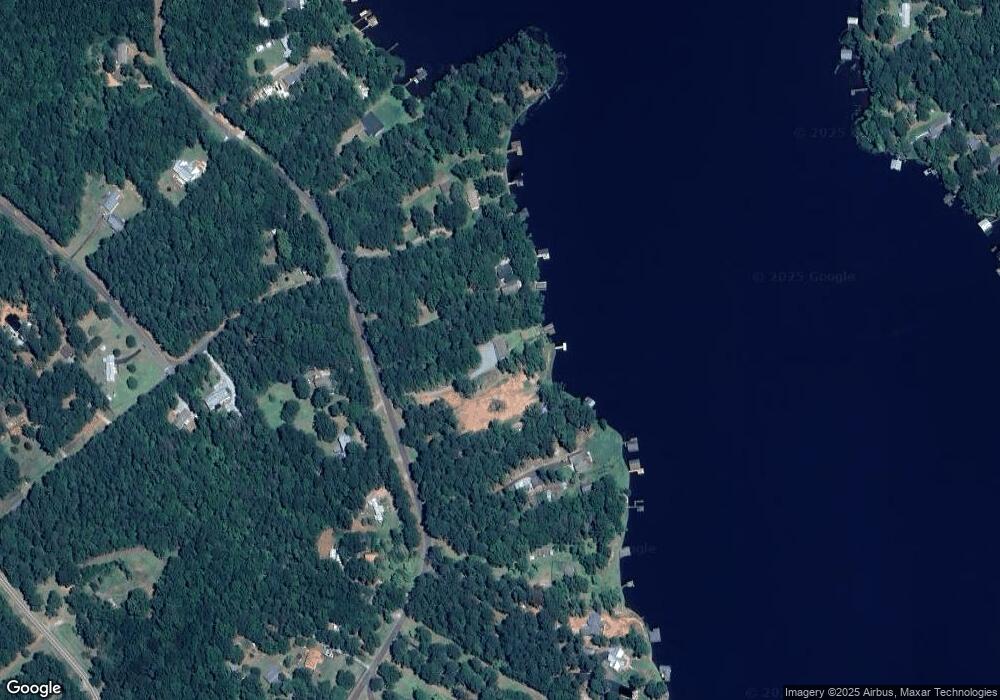
Map
Nearby Homes
- 222 Pinewood Dr
- 175 N Steel Bridge Rd
- 0 Crooked Creek Bay Rd Unit 10599206
- 197 N Steel Bridge Rd
- 152 Crooked Creek Bay Rd
- 184 Crooked Creek Bay Rd
- 237 N Steel Bridge Rd
- 260 Old Copelan Rd
- 161 Crooked Creek Bay Rd SE
- LOTS 5&6 Quail Knoll
- Lots 5 & 6 Quail Knoll
- 271 N Steel Bridge Rd
- 273 N Steel Bridge Rd
- 126 Woodslake Dr
- 631 Susan Davis Rd
- 736 Susan Davis Rd
- 184 S Steel Bridge Rd
- 179 Pinewood Dr
- 179 Pinewood Dr Unit 25
- 179 Pinewood Dr Unit 24,25
- 173 Pinewood Dr
- 171 Pinewood Dr
- 187 Pinewood Dr
- 169 Pinewood Dr
- 165 Pinewood Dr
- 189 Pinewood Dr
- 163 Pinewood Dr
- 191 Pinewood Dr
- 180 Pinewood Dr
- 182 Pinewood Dr
- 195 Pinewood Dr
- 157 Pinewood Dr Unit LOT 45
- 157 Pinewood Dr
- 157 SE Pinewood Unit LOT 45
- 159 Pinewood Dr
- 196 Pinewood Dr
- 0 Tanglewood Dr Unit 5998409