177 Ponderosa Trail Dahlonega, GA 30533
Estimated Value: $373,000 - $478,000
4
Beds
3
Baths
2,400
Sq Ft
$178/Sq Ft
Est. Value
About This Home
This home is located at 177 Ponderosa Trail, Dahlonega, GA 30533 and is currently estimated at $427,869, approximately $178 per square foot. 177 Ponderosa Trail is a home located in Lumpkin County with nearby schools including Clay County Middle School and Lumpkin County High School.
Ownership History
Date
Name
Owned For
Owner Type
Purchase Details
Closed on
Mar 28, 2023
Sold by
Thomas Douglas Lester
Bought by
Lester Thomas Douglas and Lester Amanda Tahchawwickah
Current Estimated Value
Purchase Details
Closed on
Aug 28, 2020
Sold by
Thomas Julia Barker Estate
Bought by
Thomas Douglas Lester
Purchase Details
Closed on
Aug 14, 2001
Sold by
Davis Michael
Bought by
Thomas Douglas and Thomas Julia
Purchase Details
Closed on
Sep 25, 1998
Sold by
Thomas Douglas L
Bought by
Davis Michael
Purchase Details
Closed on
Sep 4, 1998
Sold by
Thomas Doutlas L
Bought by
Thomas Douglas L
Purchase Details
Closed on
Nov 13, 1992
Sold by
Thomas Douglas L
Bought by
Thomas Doutlas L
Purchase Details
Closed on
Jan 20, 1990
Sold by
Cpr Properties
Bought by
Thomas Douglas L
Purchase Details
Closed on
Jun 24, 1988
Sold by
Lunceford David
Bought by
Cpr Properties
Create a Home Valuation Report for This Property
The Home Valuation Report is an in-depth analysis detailing your home's value as well as a comparison with similar homes in the area
Home Values in the Area
Average Home Value in this Area
Purchase History
| Date | Buyer | Sale Price | Title Company |
|---|---|---|---|
| Lester Thomas Douglas | $268,706 | -- | |
| Thomas Douglas Lester | $147,654 | -- | |
| Thomas Douglas | -- | -- | |
| Davis Michael | $85,000 | -- | |
| Thomas Douglas L | -- | -- | |
| Thomas Doutlas L | $17,000 | -- | |
| Thomas Douglas L | -- | -- | |
| Cpr Properties | $55,300 | -- |
Source: Public Records
Tax History Compared to Growth
Tax History
| Year | Tax Paid | Tax Assessment Tax Assessment Total Assessment is a certain percentage of the fair market value that is determined by local assessors to be the total taxable value of land and additions on the property. | Land | Improvement |
|---|---|---|---|---|
| 2024 | $205 | $128,187 | $35,580 | $92,607 |
| 2023 | $314 | $122,428 | $35,580 | $86,848 |
| 2022 | $377 | $107,482 | $35,580 | $71,902 |
| 2021 | $267 | $96,598 | $35,580 | $61,018 |
| 2020 | $256 | $95,108 | $35,580 | $59,528 |
| 2019 | $264 | $95,108 | $35,580 | $59,528 |
| 2018 | $205 | $87,720 | $35,580 | $52,140 |
| 2017 | $191 | $85,753 | $35,580 | $50,173 |
| 2016 | $157 | $82,003 | $35,580 | $46,423 |
| 2015 | $121 | $82,003 | $35,580 | $46,423 |
| 2014 | $121 | $82,567 | $35,580 | $46,987 |
| 2013 | -- | $83,676 | $35,580 | $48,096 |
Source: Public Records
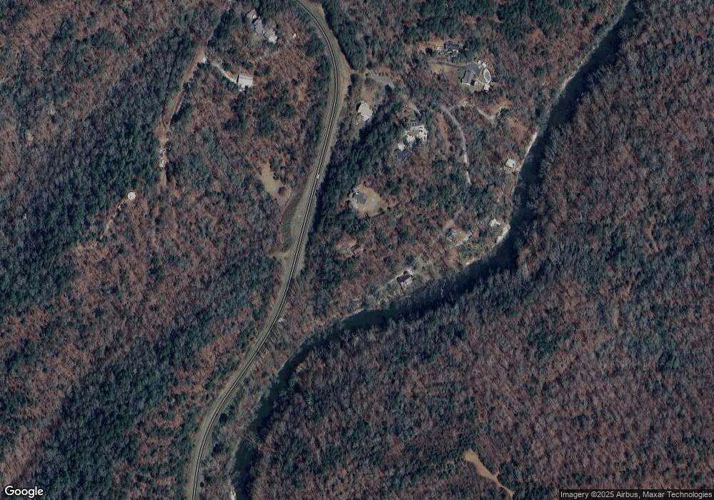
Map
Nearby Homes
- 45 Chestatee River Ridge
- 380 Copper Mill Rd
- 16 Welch Cir
- 64 Highview Ln
- 202 Indian Trail
- 0 Arborwood Dr Unit 10645890
- 83 Austin Ct
- 128 Young Deer Dr
- 1063 Grindle Bridge Rd
- 86.99 Acres Mincie Mountain
- 87 Tolleffs Trail
- 0 Roseberry Ln
- 23.86 Acres Mincie Mountain
- 20.65 Acres Mincie Mountain
- 42.65 Acres Mincie Mountain
- 6480 Highway 52 W
- 0 Valhalla Dr Unit 10640791
- 156 Ponderosa Trail
- 350 Chestatee River Ridge
- 354 Chestatee River Ridge
- 414 Chestatee River Ridge
- 394 Chestatee River Ridge
- 2556 Copper Mines Rd
- 0 Ponderosa Trail Unit 10333133
- 0 Ponderosa Trail Unit 7416387
- 0 Ponderosa Trail Unit 10236550
- 0 Ponderosa Trail Unit 7318249
- 0 Ponderosa Trail Unit 7226490
- 0 Ponderosa Trail Unit 7512672
- 0 Ponderosa Trail Unit 7248298
- 0 Ponderosa Trail Unit 8502284
- 0 Ponderosa Trail
- 152 Chestatee River Ridge
- 34 Ponderosa Trail
- Lot 2 Chestatee River Ridge
- 465 Chestatee River Ridge
- 203 Chestatee River Ridge