177 Post Office Rd Westport Island, ME 04578
Estimated Value: $353,685 - $561,000
3
Beds
2
Baths
1,400
Sq Ft
$332/Sq Ft
Est. Value
About This Home
This home is located at 177 Post Office Rd, Westport Island, ME 04578 and is currently estimated at $465,171, approximately $332 per square foot. 177 Post Office Rd is a home located in Lincoln County.
Ownership History
Date
Name
Owned For
Owner Type
Purchase Details
Closed on
Aug 1, 2007
Sold by
Arsenault Amy J and Arsenault Kevin L
Bought by
Depietro Kyle S and Trombley Angela
Current Estimated Value
Home Financials for this Owner
Home Financials are based on the most recent Mortgage that was taken out on this home.
Original Mortgage
$156,000
Outstanding Balance
$76,114
Interest Rate
6.73%
Mortgage Type
Commercial
Estimated Equity
$389,057
Purchase Details
Closed on
Sep 13, 2005
Sold by
Grotton Mary J and Cronk Mary T
Bought by
Arsenault Kevin L and Russell Amy J
Home Financials for this Owner
Home Financials are based on the most recent Mortgage that was taken out on this home.
Original Mortgage
$174,000
Interest Rate
5.79%
Mortgage Type
Purchase Money Mortgage
Create a Home Valuation Report for This Property
The Home Valuation Report is an in-depth analysis detailing your home's value as well as a comparison with similar homes in the area
Home Values in the Area
Average Home Value in this Area
Purchase History
| Date | Buyer | Sale Price | Title Company |
|---|---|---|---|
| Depietro Kyle S | -- | -- | |
| Arsenault Kevin L | -- | -- |
Source: Public Records
Mortgage History
| Date | Status | Borrower | Loan Amount |
|---|---|---|---|
| Open | Depietro Kyle S | $156,000 | |
| Previous Owner | Arsenault Kevin L | $174,000 |
Source: Public Records
Tax History Compared to Growth
Tax History
| Year | Tax Paid | Tax Assessment Tax Assessment Total Assessment is a certain percentage of the fair market value that is determined by local assessors to be the total taxable value of land and additions on the property. | Land | Improvement |
|---|---|---|---|---|
| 2025 | $1,845 | $217,093 | $80,520 | $136,573 |
| 2024 | $1,460 | $197,359 | $73,200 | $124,159 |
| 2023 | $1,257 | $191,869 | $67,710 | $124,159 |
| 2022 | $1,305 | $157,270 | $55,500 | $101,770 |
| 2021 | $1,242 | $157,270 | $55,500 | $101,770 |
| 2020 | $1,274 | $157,270 | $55,500 | $101,770 |
| 2019 | $1,175 | $157,270 | $55,500 | $101,770 |
| 2018 | $1,038 | $157,270 | $55,500 | $101,770 |
| 2016 | $1,132 | $157,270 | $55,500 | $101,770 |
| 2014 | $1,479 | $196,955 | $0 | $0 |
| 2013 | $1,526 | $196,955 | $70,490 | $126,465 |
Source: Public Records
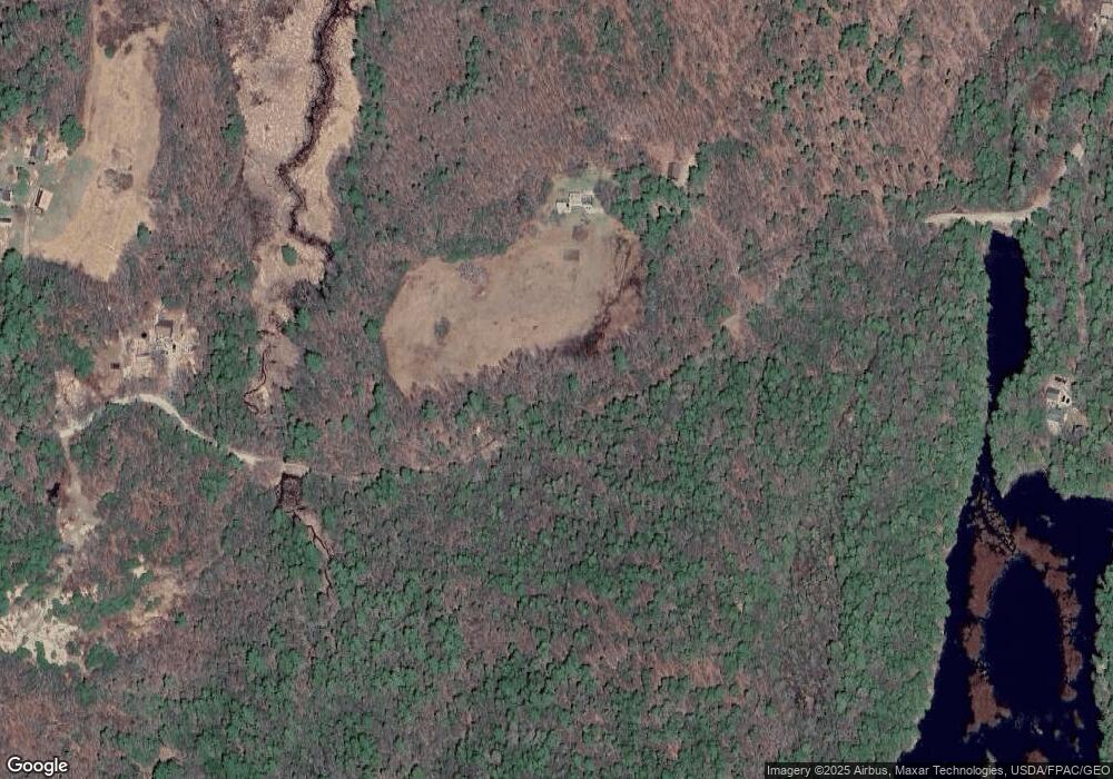
Map
Nearby Homes
- M4 L12.30B McCarty Cove Rd
- 91 Tree Farm Dr
- 124 Main Rd
- 0 Maine 144
- 119 Knubble Bay Rd
- 284 Hockomock Rd
- 92 Brooks Cove Rd
- 437 Barley Neck Rd
- 44-4 Windrush Ln
- 23 Sunny Acres Ln
- Lot 45-B Cove Rd
- 576 Back River Rd
- 19 Riverside Ave
- 44 Stone Point Ln
- 13 Porcupine Ln
- 86 Arrowsic Rd
- 129 Five Islands Rd
- 712 Back River Rd
- 68 Narrows Way
- 54 Stone Tree Rd
- 185 Post Office Rd
- 186 Post Office Rd
- 159 Post Office Rd
- 159 Post Office Rd
- Lot #1 159 Post Office Rd
- 197 Post Office Rd
- 141 Post Office Rd
- 206 Post Office Rd
- 150 Post Office Rd
- 464 W Shore Rd
- 21 Knight Meadow Ln
- 12 Knight Meadow Ln
- 486 W Shore Rd
- 488 W Shore Rd
- 418 W Shore Rd
- 471 W Shore Rd
- 492 W Shore Rd
- 00 Map3lot53
- 0 Post Office Rd
- 14 Plummer Rd