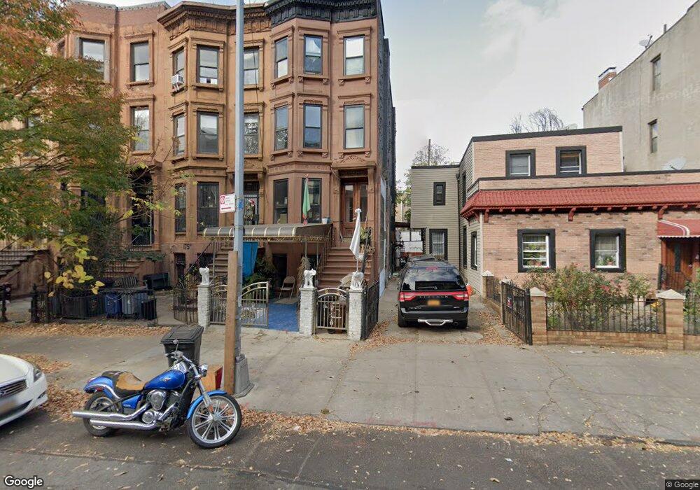
177 Quincy St Brooklyn, NY 11216
Bed-Stuy NeighborhoodEstimated Value: $1,785,534 - $2,286,000
--
Bed
--
Bath
2,700
Sq Ft
$733/Sq Ft
Est. Value
About This Home
This home is located at 177 Quincy St, Brooklyn, NY 11216 and is currently estimated at $1,978,884, approximately $732 per square foot. 177 Quincy St is a home located in Kings County with nearby schools including P.S. 305 Dr. Peter Ray, Success Academy Charter School-NYC 9, and New Visions Aim Charter High School I..
Ownership History
Date
Name
Owned For
Owner Type
Purchase Details
Closed on
Jan 29, 1999
Sold by
Landmark Equities Corp
Bought by
Fanfair Carl and Gordon Camille
Current Estimated Value
Home Financials for this Owner
Home Financials are based on the most recent Mortgage that was taken out on this home.
Original Mortgage
$203,300
Interest Rate
6.9%
Mortgage Type
FHA
Purchase Details
Closed on
Oct 30, 1997
Sold by
Bogues Beverly
Bought by
Landmark Equities Corp
Create a Home Valuation Report for This Property
The Home Valuation Report is an in-depth analysis detailing your home's value as well as a comparison with similar homes in the area
Home Values in the Area
Average Home Value in this Area
Purchase History
| Date | Buyer | Sale Price | Title Company |
|---|---|---|---|
| Fanfair Carl | $205,000 | Commonwealth Land Title Ins | |
| Landmark Equities Corp | $72,000 | -- |
Source: Public Records
Mortgage History
| Date | Status | Borrower | Loan Amount |
|---|---|---|---|
| Previous Owner | Fanfair Carl | $203,300 |
Source: Public Records
Tax History Compared to Growth
Tax History
| Year | Tax Paid | Tax Assessment Tax Assessment Total Assessment is a certain percentage of the fair market value that is determined by local assessors to be the total taxable value of land and additions on the property. | Land | Improvement |
|---|---|---|---|---|
| 2025 | $3,942 | $109,200 | $11,940 | $97,260 |
| 2024 | $3,942 | $103,680 | $11,940 | $91,740 |
| 2023 | $3,746 | $100,380 | $11,940 | $88,440 |
| 2022 | $3,453 | $109,980 | $11,940 | $98,040 |
| 2021 | $3,429 | $89,880 | $11,940 | $77,940 |
| 2020 | $2,571 | $91,980 | $11,940 | $80,040 |
| 2019 | $2,564 | $101,700 | $11,940 | $89,760 |
| 2018 | $3,074 | $16,539 | $2,648 | $13,891 |
| 2017 | $2,883 | $15,614 | $2,290 | $13,324 |
| 2016 | $2,638 | $14,748 | $2,920 | $11,828 |
| 2015 | $1,557 | $14,727 | $3,545 | $11,182 |
| 2014 | $1,557 | $14,604 | $4,217 | $10,387 |
Source: Public Records
Map
Nearby Homes
- 173 Quincy St
- 190 Lexington Ave
- 406 Greene Ave Unit 3
- 315 Gates Ave Unit 3
- 235 Lexington Ave
- 376 Greene Ave
- 292 Gates Ave
- 1142 Bedford Ave Unit 4F
- 358 Gates Ave
- 95 Monroe St
- 73 Monroe St
- 69 Monroe St
- 114 Lexington Ave Unit 203
- 90 Monroe St
- 335 Franklin Ave
- 196 Clifton Place
- 327 Franklin Ave
- 337 Nostrand Ave Unit 301B
- 347 Greene Ave Unit 4C
- 548 Lafayette Ave Unit 2
- 175 Quincy St
- 175 Quincy St Unit 1
- 175 Quincy St Unit 3
- 175 Quincy St Unit 2A
- 179 Quincy St
- 173 Quincy St Unit 3
- 173 Quincy St Unit 2
- 173 Quincy St Unit 1
- 171 Quincy St
- 169 Quincy St
- 181A Quincy St
- 181 Quincy St
- 181 Quincy St Unit A
- 181 Quincy St Unit TH
- 181 Quincy St Unit 2
- 181 Quincy St Unit 1
- 183 Quincy St
- 167 Quincy St Unit 2
- 186 Lexington Ave
- 1077-1079 Bedford Ave