Estimated Value: $367,000 - $454,000
4
Beds
5
Baths
3,708
Sq Ft
$115/Sq Ft
Est. Value
About This Home
This home is located at 177 Red Oak Rd, Byron, GA 31008 and is currently estimated at $424,763, approximately $114 per square foot. 177 Red Oak Rd is a home located in Peach County with nearby schools including Byron Elementary School, Byron Middle School, and Peach County High School.
Ownership History
Date
Name
Owned For
Owner Type
Purchase Details
Closed on
Jun 4, 2004
Sold by
Collins Jesse
Bought by
Collins Debbie D
Current Estimated Value
Purchase Details
Closed on
Jun 1, 1989
Bought by
Collins Jesse and Collins Debbie D
Purchase Details
Closed on
Aug 16, 1988
Bought by
Wansley David A
Purchase Details
Closed on
Aug 15, 1988
Bought by
Wansley David A
Purchase Details
Closed on
Aug 8, 1988
Bought by
Wansley David A
Create a Home Valuation Report for This Property
The Home Valuation Report is an in-depth analysis detailing your home's value as well as a comparison with similar homes in the area
Home Values in the Area
Average Home Value in this Area
Purchase History
| Date | Buyer | Sale Price | Title Company |
|---|---|---|---|
| Collins Debbie D | -- | -- | |
| Collins Jesse | $105,000 | -- | |
| Wansley David A | -- | -- | |
| Wansley David A | -- | -- | |
| Wansley David A | -- | -- |
Source: Public Records
Tax History
| Year | Tax Paid | Tax Assessment Tax Assessment Total Assessment is a certain percentage of the fair market value that is determined by local assessors to be the total taxable value of land and additions on the property. | Land | Improvement |
|---|---|---|---|---|
| 2025 | $5,046 | $159,680 | $29,080 | $130,600 |
| 2024 | $5,160 | $146,080 | $28,600 | $117,480 |
| 2023 | $4,614 | $129,960 | $10,640 | $119,320 |
| 2022 | $2,999 | $113,400 | $10,640 | $102,760 |
| 2021 | $3,030 | $99,040 | $10,640 | $88,400 |
| 2020 | $3,178 | $103,800 | $10,640 | $93,160 |
| 2019 | $3,194 | $103,800 | $10,640 | $93,160 |
| 2018 | $3,210 | $103,800 | $10,640 | $93,160 |
| 2017 | $3,226 | $103,800 | $10,640 | $93,160 |
| 2016 | $3,212 | $103,800 | $10,640 | $93,160 |
| 2015 | $3,217 | $103,800 | $10,640 | $93,160 |
| 2014 | $3,222 | $103,800 | $10,640 | $93,160 |
| 2013 | -- | $103,800 | $10,640 | $93,160 |
Source: Public Records
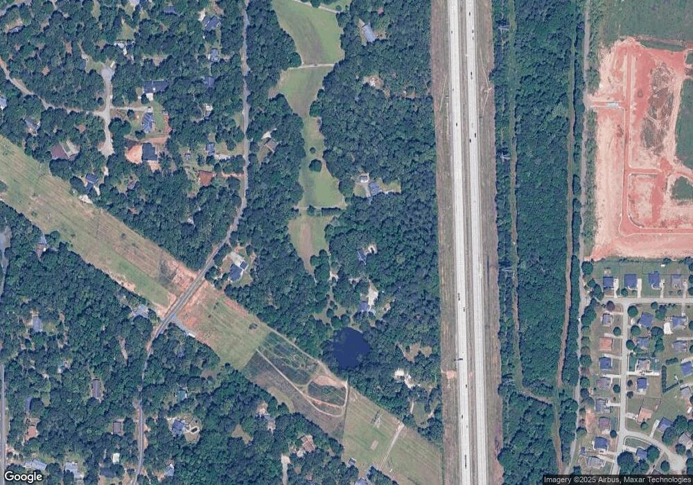
Map
Nearby Homes
- 252 Shantz Way Unit (LOT A43)
- 252 Shantz Way
- 262 Shantz Way Unit (LOT A48)
- 250 Shantz Way
- 250 Shantz Way Unit LOT A42
- 246 Shantz Way Unit (LOT A40)
- 246 Shantz Way
- 0 Peavy Rd
- 174 Majestic Oak Cir
- 206 Christopher Dr
- 106 Christopher Dr
- 0 W White West Rd
- 106 Gassett Ct
- 126 Early Dr
- 118 Early Dr
- 114 Early Dr
- 123 Early Dr
- 105 Early Dr
- 212 Eric Ct
- 121 Early Dr
- 175 Red Oak Rd
- 185 Red Oak Rd
- 173 Red Oak Rd
- 180 Red Oak Rd
- 191 Red Oak Rd
- 122 White Oak Ln
- 176 Red Oak Rd
- 105 White Oak Ct
- 184 Red Oak Rd
- 165 Red Oak Rd
- 188 Red Oak Rd
- 104 White Oak Ct
- 120 White Oak Ln
- 190 Red Oak Rd
- 119 S Live Oak Ct
- 199 Red Oak Rd
- 163 Red Oak Rd
- 172 Red Oak Rd
- 194 Red Oak Rd
- 127 S Live Oak Ct
Your Personal Tour Guide
Ask me questions while you tour the home.