177 Rickard Ln Iron Station, NC 28080
Estimated Value: $368,000 - $844,439
3
Beds
2
Baths
2,078
Sq Ft
$305/Sq Ft
Est. Value
About This Home
This home is located at 177 Rickard Ln, Iron Station, NC 28080 and is currently estimated at $633,610, approximately $304 per square foot. 177 Rickard Ln is a home with nearby schools including Iron Station Elementary School, East Lincoln Middle School, and East Lincoln High School.
Ownership History
Date
Name
Owned For
Owner Type
Purchase Details
Closed on
Apr 11, 2023
Sold by
Rickard Mark Anthony
Bought by
Sigmon Rickard Jenny
Current Estimated Value
Purchase Details
Closed on
Jul 2, 2012
Sold by
Stroupe Devin Alan and Stroupe Mariel P B
Bought by
Maurice John A and Maurice Lori B
Home Financials for this Owner
Home Financials are based on the most recent Mortgage that was taken out on this home.
Original Mortgage
$69,750
Interest Rate
3.83%
Mortgage Type
Purchase Money Mortgage
Purchase Details
Closed on
Dec 15, 2011
Sold by
Rickard Nancy C
Bought by
Stroupe Devin Alan and Stroupe Mariel P B
Create a Home Valuation Report for This Property
The Home Valuation Report is an in-depth analysis detailing your home's value as well as a comparison with similar homes in the area
Home Values in the Area
Average Home Value in this Area
Purchase History
| Date | Buyer | Sale Price | Title Company |
|---|---|---|---|
| Sigmon Rickard Jenny | -- | None Listed On Document | |
| Maurice John A | $93,000 | None Available | |
| Stroupe Devin Alan | $83,500 | None Available |
Source: Public Records
Mortgage History
| Date | Status | Borrower | Loan Amount |
|---|---|---|---|
| Previous Owner | Maurice John A | $69,750 |
Source: Public Records
Tax History Compared to Growth
Tax History
| Year | Tax Paid | Tax Assessment Tax Assessment Total Assessment is a certain percentage of the fair market value that is determined by local assessors to be the total taxable value of land and additions on the property. | Land | Improvement |
|---|---|---|---|---|
| 2025 | $3,988 | $616,711 | $203,571 | $413,140 |
| 2024 | $3,968 | $616,711 | $203,571 | $413,140 |
| 2023 | $3,963 | $616,711 | $203,571 | $413,140 |
| 2022 | $2,969 | $383,638 | $138,834 | $244,804 |
| 2021 | $2,969 | $383,638 | $138,834 | $244,804 |
| 2020 | $2,778 | $383,638 | $138,834 | $244,804 |
| 2019 | $2,701 | $383,638 | $138,834 | $244,804 |
| 2018 | $2,577 | $345,816 | $138,878 | $206,938 |
| 2017 | $2,458 | $345,816 | $138,878 | $206,938 |
| 2016 | $2,458 | $345,816 | $138,878 | $206,938 |
| 2015 | $2,495 | $345,816 | $138,878 | $206,938 |
| 2014 | -- | $0 | $0 | $0 |
Source: Public Records
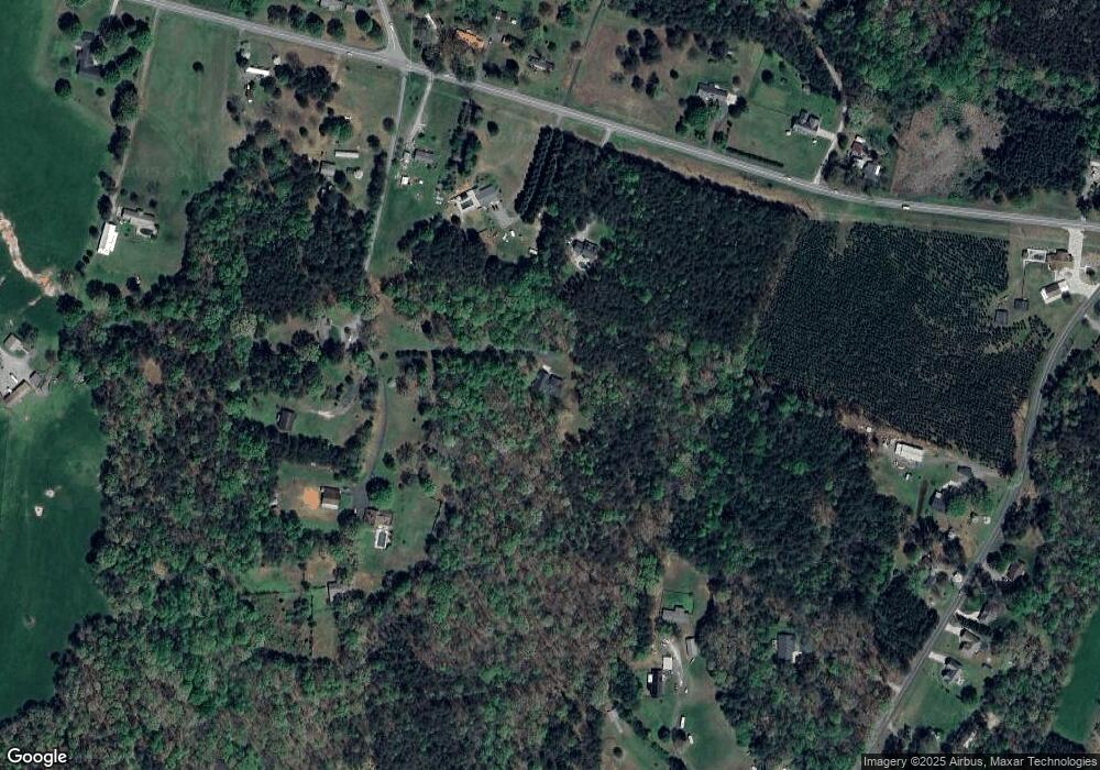
Map
Nearby Homes
- 000 N Carolina 73
- 341 Camp Creek Rd
- 1894 N Carolina 73
- 429 Link Dr
- 3132 Fox Den Cir
- 00 Southmont Rd
- Lot 6 Walnut Ridge Rd Unit 6
- 00 Timber Rd
- 375 Timber Rd
- 3164 Andrew Link Rd
- 1481 Depot St
- 1554 Forum Ln
- 1011 Lester Trail
- 1279 Craig Dr
- 3960 Orchard Rd
- 1076 Furnace Rd
- 1404 Old Mill Rd
- 132 Huncoat Hollow Ln
- 5045 Amity Ln Unit 12
- 575 Hill Rd
- 2182 Nc 73 Hwy
- 2174 Highway 73
- 229 Rickard Ln
- 174 Rickard Ln
- 308 Low Bridge Rd
- 206 Rickard Ln
- 2150 Highway 73
- 304 Low Bridge Rd
- 2128 Nc 73 Hwy
- O N Carolina 73
- 2227 Highway 73
- 2227 Nc 73 Hwy
- 2227 N Carolina 73
- 254 Low Bridge Rd
- 2157 Highway 73
- 2249 N Carolina 73
- 2249 Highway 73
- 2279 Highway 73
- 188 Low Bridge Rd
- 220 Low Bridge Rd