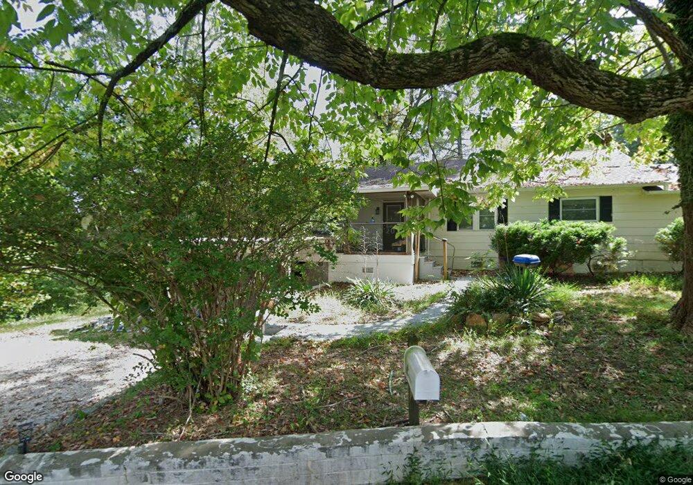
177 Ridge Rd Dahlonega, GA 30533
Estimated Value: $207,000 - $358,000
--
Bed
1
Bath
1,288
Sq Ft
$199/Sq Ft
Est. Value
About This Home
This home is located at 177 Ridge Rd, Dahlonega, GA 30533 and is currently estimated at $256,467, approximately $199 per square foot. 177 Ridge Rd is a home located in Lumpkin County with nearby schools including Clay County Middle School and Lumpkin County High School.
Ownership History
Date
Name
Owned For
Owner Type
Purchase Details
Closed on
May 13, 2020
Sold by
Adkins James Nolan
Bought by
Green Roberta
Current Estimated Value
Purchase Details
Closed on
Sep 19, 1995
Bought by
Adkins James N
Purchase Details
Closed on
Jan 1, 1986
Bought by
Adkins James N
Purchase Details
Closed on
Oct 1, 1967
Bought by
Reed James A
Create a Home Valuation Report for This Property
The Home Valuation Report is an in-depth analysis detailing your home's value as well as a comparison with similar homes in the area
Home Values in the Area
Average Home Value in this Area
Purchase History
| Date | Buyer | Sale Price | Title Company |
|---|---|---|---|
| Green Roberta | $104,500 | -- | |
| Adkins James N | -- | -- | |
| Adkins James N | -- | -- | |
| Reed James A | -- | -- |
Source: Public Records
Tax History Compared to Growth
Tax History
| Year | Tax Paid | Tax Assessment Tax Assessment Total Assessment is a certain percentage of the fair market value that is determined by local assessors to be the total taxable value of land and additions on the property. | Land | Improvement |
|---|---|---|---|---|
| 2024 | $1,764 | $61,461 | $10,000 | $51,461 |
| 2023 | $1,665 | $57,748 | $10,000 | $47,748 |
| 2022 | $1,584 | $51,867 | $10,000 | $41,867 |
| 2021 | $1,330 | $40,781 | $10,000 | $30,781 |
| 2020 | $904 | $26,669 | $12,000 | $14,669 |
| 2019 | $908 | $26,669 | $12,000 | $14,669 |
| 2018 | $902 | $24,778 | $12,000 | $12,778 |
| 2017 | $968 | $26,162 | $12,000 | $14,162 |
| 2016 | $934 | $24,686 | $12,000 | $12,686 |
| 2015 | $808 | $24,686 | $12,000 | $12,686 |
| 2014 | $808 | $24,968 | $12,000 | $12,968 |
| 2013 | -- | $25,531 | $12,000 | $13,531 |
Source: Public Records
Map
Nearby Homes
- 168 W Main St
- 315 Church St
- 399 N Chestatee St
- 0 Dawsonville Hwy Unit 10631159
- 00 Dawsonville Hwy
- 0 S Chestatee St Unit 10619536
- 0 Crown Mountain Unit 7682225
- 0 Crown Mountain Unit 10644759
- 95 Jones St
- 735 Calhoun Rd
- 0 Calhoun Rd Unit 7643314
- 0 Calhoun Rd Unit 10598012
- 00 Calhoun Rd
- 490 N Hall Rd
- 1392 S Chestatee St
- 0 Highway 19 N Unit 10594984
- 99 Madeline Anthony Road Lots 44 and 45
- 99 Madeline Anthony Rd
- LOT 13 Crown Mountain Way
- Lot 28 Crown Mountain Way
- 217 Ridge Rd
- 3 Bellamy Place
- 1083 Morrison Moore Pkwy W
- 40 Cleves Way
- 42 Cleves Way
- 44 Cleves Way
- 46 Cleves Way
- 48 Cleves Way
- 60 Cleves Way
- 62 Cleves Way
- 0 Ridge Rd
- 0 Ridge Rd Unit 7573810
- 64 Cleves Way
- 66 Cleves Way
- 971 Morrison Moore Pkwy W
- 68 Cleves Way
- 80 Cleves Way
- 82 Cleves Way
- 82 Cleves Way
- 86 Cleves Way