177 River Crest Rd Harpers Ferry, WV 25425
Estimated Value: $312,743 - $346,000
3
Beds
3
Baths
2,240
Sq Ft
$146/Sq Ft
Est. Value
About This Home
This home is located at 177 River Crest Rd, Harpers Ferry, WV 25425 and is currently estimated at $327,686, approximately $146 per square foot. 177 River Crest Rd is a home located in Jefferson County with nearby schools including Blue Ridge Elementary School, Harpers Ferry Middle School, and Washington High School.
Ownership History
Date
Name
Owned For
Owner Type
Purchase Details
Closed on
Nov 8, 2012
Sold by
Sanders Bessie J
Bought by
Ott Joshua J
Current Estimated Value
Purchase Details
Closed on
Dec 5, 2008
Sold by
Thies Margot K
Bought by
Ott Joshua J and Sanders Bessie J
Home Financials for this Owner
Home Financials are based on the most recent Mortgage that was taken out on this home.
Original Mortgage
$169,083
Interest Rate
6.27%
Mortgage Type
FHA
Create a Home Valuation Report for This Property
The Home Valuation Report is an in-depth analysis detailing your home's value as well as a comparison with similar homes in the area
Home Values in the Area
Average Home Value in this Area
Purchase History
| Date | Buyer | Sale Price | Title Company |
|---|---|---|---|
| Ott Joshua J | $35,000 | None Available | |
| Ott Joshua J | $170,000 | None Available |
Source: Public Records
Mortgage History
| Date | Status | Borrower | Loan Amount |
|---|---|---|---|
| Previous Owner | Ott Joshua J | $169,083 |
Source: Public Records
Tax History Compared to Growth
Tax History
| Year | Tax Paid | Tax Assessment Tax Assessment Total Assessment is a certain percentage of the fair market value that is determined by local assessors to be the total taxable value of land and additions on the property. | Land | Improvement |
|---|---|---|---|---|
| 2025 | $1,747 | $150,300 | $60,800 | $89,500 |
| 2024 | $1,539 | $131,500 | $60,800 | $70,700 |
| 2023 | $1,536 | $131,500 | $60,800 | $70,700 |
| 2022 | $1,299 | $109,000 | $46,800 | $62,200 |
| 2021 | $1,246 | $102,600 | $46,800 | $55,800 |
| 2020 | $1,176 | $103,300 | $46,800 | $56,500 |
| 2019 | $1,136 | $98,000 | $40,900 | $57,100 |
| 2018 | $1,067 | $90,800 | $35,100 | $55,700 |
| 2017 | $1,081 | $92,000 | $35,100 | $56,900 |
| 2016 | $934 | $79,700 | $22,200 | $57,500 |
| 2015 | $799 | $67,800 | $21,100 | $46,700 |
| 2014 | $804 | $68,400 | $21,100 | $47,300 |
Source: Public Records
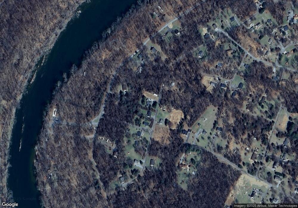
Map
Nearby Homes
- 0 Bethany Ln
- 0 Summertime Ln
- Lot 31A Dawn Ln
- Lot 32A Dawn Ln
- 330 Foothill Ln
- 268 Dawn Ln
- 262 Walters Way
- LOTS 11-13, 49 Sunset Ln
- Lot 6 Sunset Ln
- Lot 7 Sunset Ln
- 78 Tulip Ct
- 877 King Lear Dr
- Lots 2 & 3 Wolfe Hill Rd
- LOT 3 Grey Owl Way
- 133 Beechwood Ln
- 85 Keala Ct
- 224 Marcum Ln
- Lots 713 & 714 Marcum Ln
- 250 Adelaide Cir
- 271 Moonshine Ln
- 161 River Crest Rd
- 81 White Cedar Ln
- 148 River Crest Rd
- 681 River Haven Dr
- Section 2S Lots 7&8 River Crest Rd
- 26 Cedar Creek Dr
- 95 River Crest Rd
- Lot #113 John Brown Farm Rd
- 21 Cedar Creek Dr
- 563 River Haven Dr
- 64 River Crest Rd
- 59 River Crest Rd
- 773 River Haven Dr
- 1340 John Brown Farm Rd
- 1322 John Brown Farm Rd
- 76 Briar Trail
- 1339 John Brown Farm Rd
- 0 Briar Trail Unit WVJF2006284
- 0 Briar Trail Unit WVJF2002824
- 1294 John Brown Farm Rd