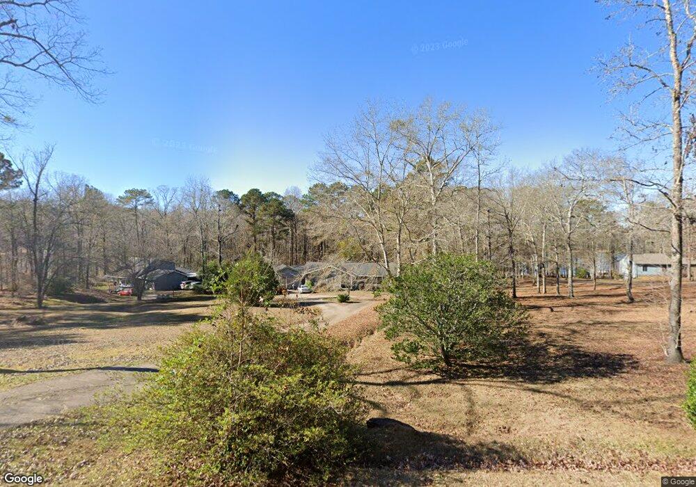
177 River Point Dr Lagrange, GA 30240
Estimated Value: $285,000 - $339,000
3
Beds
3
Baths
1,945
Sq Ft
$160/Sq Ft
Est. Value
About This Home
This home is located at 177 River Point Dr, Lagrange, GA 30240 and is currently estimated at $311,116, approximately $159 per square foot. 177 River Point Dr is a home located in Troup County with nearby schools including Long Cane Elementary School, Berta Weathersbee Elementary School, and Whitesville Road Elementary School.
Ownership History
Date
Name
Owned For
Owner Type
Purchase Details
Closed on
Jul 28, 2023
Sold by
Raiford Margaret C
Bought by
Cubb David Allen
Current Estimated Value
Purchase Details
Closed on
Jan 5, 1988
Sold by
Anthony Anthony J and Anthony Elleen T
Bought by
Garon Russ Brown
Purchase Details
Closed on
Sep 13, 1984
Sold by
James W Roberts
Bought by
Anthony Anthony J and Anthony Elleen T
Purchase Details
Closed on
Dec 1, 1982
Sold by
James W Roberts
Bought by
James W Roberts
Purchase Details
Closed on
Jul 31, 1978
Sold by
Broadwater Dev
Bought by
James W Roberts
Purchase Details
Closed on
Dec 3, 1975
Sold by
Winslow Winslow and Winslow Martin
Bought by
Broadwater Dev
Purchase Details
Closed on
Dec 2, 1975
Sold by
Newton Newton and Newton Bennett
Bought by
Winslow Winslow and Winslow Martin
Create a Home Valuation Report for This Property
The Home Valuation Report is an in-depth analysis detailing your home's value as well as a comparison with similar homes in the area
Home Values in the Area
Average Home Value in this Area
Purchase History
| Date | Buyer | Sale Price | Title Company |
|---|---|---|---|
| Cubb David Allen | -- | -- | |
| Garon Russ Brown | $15,500 | -- | |
| Anthony Anthony J | $8,900 | -- | |
| James W Roberts | $8,000 | -- | |
| James W Roberts | $6,000 | -- | |
| Broadwater Dev | -- | -- | |
| Winslow Winslow | -- | -- |
Source: Public Records
Tax History Compared to Growth
Tax History
| Year | Tax Paid | Tax Assessment Tax Assessment Total Assessment is a certain percentage of the fair market value that is determined by local assessors to be the total taxable value of land and additions on the property. | Land | Improvement |
|---|---|---|---|---|
| 2024 | $2,724 | $99,880 | $26,000 | $73,880 |
| 2023 | $1,791 | $94,720 | $26,000 | $68,720 |
| 2022 | $1,463 | $81,040 | $15,000 | $66,040 |
| 2021 | $1,390 | $74,800 | $12,000 | $62,800 |
| 2020 | $1,741 | $74,800 | $12,000 | $62,800 |
| 2019 | $2,157 | $81,480 | $12,000 | $69,480 |
| 2018 | $2,188 | $82,520 | $10,280 | $72,240 |
| 2017 | $2,180 | $82,240 | $10,000 | $72,240 |
| 2016 | $2,092 | $79,319 | $10,300 | $69,019 |
| 2015 | $2,095 | $79,402 | $10,300 | $69,102 |
| 2014 | $1,985 | $75,765 | $10,300 | $65,465 |
| 2013 | -- | $76,865 | $10,300 | $66,565 |
Source: Public Records
Map
Nearby Homes
- 40 River Point Dr
- 474 Newton Rd
- 101 Ivy Springs Dr
- 119 Plymouth Dr
- 102 Franklin Place
- 108 Hidden Springs Dr
- 141 Plymouth Dr
- 1565 Glass Bridge Rd
- 106 Landings Way
- 201 Lakeview Ct
- 102 Landings Way
- 135 Planters Ridge Dr
- 109 Riverbluff Dr
- 205 Linda Ln
- 101 Riverbluff Dr
- 100 Huntcliff Ct
- 226 Linda Ln
- 0 Deming St Unit 10550189
- 102 Foxdale Dr
- 103 Dogwood Ct
- 175 River Point Dr
- 211 River Point Dr
- 211 River Point Dr Unit 14/15
- 184 River Point Dr
- 24 Post Oak Dr
- 16 River Mist Dr
- 36 River Mist Dr
- 225 River Point Dr
- 0 Post Oak Dr Unit 7296763
- 0 Post Oak Dr Unit 7640160
- 0 Post Oak Dr
- 245 River Point Dr
- 0 River Mist Dr Unit 9020780
- 0 River Mist Dr Unit 8834544
- 0 River Mist Dr Unit 8863913
- 0 River Mist Dr Unit 8894840
- 0 River Mist Dr Unit 8924553
- 0 River Mist Dr Unit 8815674
- 0 River Mist Dr Unit 3227381
- 0 River Mist Dr Unit 8222593