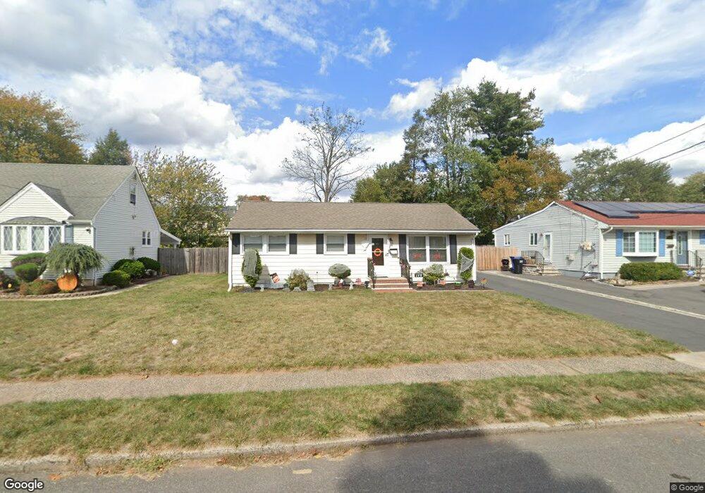
177 S Madison Dr South Plainfield, NJ 07080
Estimated Value: $477,790 - $547,000
3
Beds
1
Bath
960
Sq Ft
$546/Sq Ft
Est. Value
About This Home
This home is located at 177 S Madison Dr, South Plainfield, NJ 07080 and is currently estimated at $523,948, approximately $545 per square foot. 177 S Madison Dr is a home located in Middlesex County with nearby schools including South Plainfield High School, Koinonia Academy, and Holy Savior Academy.
Ownership History
Date
Name
Owned For
Owner Type
Purchase Details
Closed on
Apr 6, 2017
Sold by
Eva Street Llc
Bought by
Reinhold Nicholas and Reinhold Kristen
Current Estimated Value
Home Financials for this Owner
Home Financials are based on the most recent Mortgage that was taken out on this home.
Original Mortgage
$321,275
Outstanding Balance
$263,914
Interest Rate
3.75%
Mortgage Type
FHA
Estimated Equity
$260,034
Purchase Details
Closed on
Oct 5, 2016
Sold by
Mcgovern Robet
Bought by
Eva Street Llc
Create a Home Valuation Report for This Property
The Home Valuation Report is an in-depth analysis detailing your home's value as well as a comparison with similar homes in the area
Home Values in the Area
Average Home Value in this Area
Purchase History
| Date | Buyer | Sale Price | Title Company |
|---|---|---|---|
| Reinhold Nicholas | $327,250 | None Available | |
| Eva Street Llc | $189,000 | East Coast Title Agency |
Source: Public Records
Mortgage History
| Date | Status | Borrower | Loan Amount |
|---|---|---|---|
| Open | Reinhold Nicholas | $321,275 |
Source: Public Records
Tax History Compared to Growth
Tax History
| Year | Tax Paid | Tax Assessment Tax Assessment Total Assessment is a certain percentage of the fair market value that is determined by local assessors to be the total taxable value of land and additions on the property. | Land | Improvement |
|---|---|---|---|---|
| 2025 | $6,793 | $97,300 | $32,600 | $64,700 |
| 2024 | $6,498 | $97,300 | $32,600 | $64,700 |
| 2023 | $6,498 | $97,300 | $32,600 | $64,700 |
| 2022 | $6,417 | $97,300 | $32,600 | $64,700 |
| 2021 | $6,266 | $97,300 | $32,600 | $64,700 |
| 2020 | $6,175 | $97,300 | $32,600 | $64,700 |
| 2019 | $5,925 | $97,300 | $32,600 | $64,700 |
| 2018 | $5,772 | $97,300 | $32,600 | $64,700 |
| 2017 | $5,698 | $97,300 | $32,600 | $64,700 |
| 2016 | $5,640 | $97,300 | $32,600 | $64,700 |
| 2015 | $5,293 | $97,300 | $32,600 | $64,700 |
| 2014 | $5,134 | $97,300 | $32,600 | $64,700 |
Source: Public Records
Map
Nearby Homes
- 241 Van Fleet Ave
- 260 Merchants Ave
- 1726 Kenyon Ave
- 1712 Kenyon Ave
- 533 Edgar Ave
- 551 Melrose Ave
- 105 Firth St
- 480 Sampton Ave
- 1400 Kenyon Ave
- 1210 Maltby Ave
- 127 Remington Ave Unit 31
- 1210 Field Ave
- 917 Tompkins Ave
- 1453 Tooz Place
- 1221 Grant Ave Unit 23
- 218 Schillaci Ln
- 139 Palmer Ave
- 132 Parkside Rd
- 77 Parkside Rd Unit 89
- 2 Melillo Ct
- 181 S Madison Dr
- 173 S Madison Dr
- 187 S Madison Dr
- 176 N Madison Dr
- 167 S Madison Dr
- 170 N Madison Dr
- 180 N Madison Dr
- 166 N Madison Dr
- 184 N Madison Dr
- 172 S Madison Dr
- 161 S Madison Dr
- 178 S Madison Dr
- 168 S Madison Dr
- 2010 S Central Ave
- 2016 S Central Ave
- 182 S Madison Dr
- 164 S Madison Dr
- 160 N Madison Dr
- 2004 S Central Ave
- 157 S Madison Dr