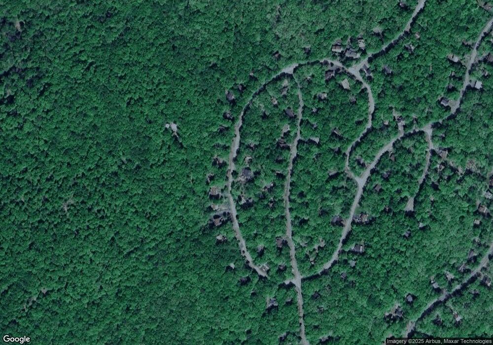
177 Saunders Dr Bushkill, PA 18324
Estimated Value: $274,089 - $337,000
3
Beds
2
Baths
1,776
Sq Ft
$172/Sq Ft
Est. Value
About This Home
This home is located at 177 Saunders Dr, Bushkill, PA 18324 and is currently estimated at $305,545, approximately $172 per square foot. 177 Saunders Dr is a home located in Pike County with nearby schools including Middle Smithfield Elementary School and Lehman Intermediate School.
Ownership History
Date
Name
Owned For
Owner Type
Purchase Details
Closed on
Jul 29, 2016
Sold by
Wong Michele and Wong Raymond
Bought by
Tomino Stephen R and Tomino Tracy
Current Estimated Value
Home Financials for this Owner
Home Financials are based on the most recent Mortgage that was taken out on this home.
Original Mortgage
$126,663
Outstanding Balance
$100,866
Interest Rate
3.42%
Mortgage Type
New Conventional
Estimated Equity
$204,679
Create a Home Valuation Report for This Property
The Home Valuation Report is an in-depth analysis detailing your home's value as well as a comparison with similar homes in the area
Home Values in the Area
Average Home Value in this Area
Purchase History
| Date | Buyer | Sale Price | Title Company |
|---|---|---|---|
| Tomino Stephen R | $129,000 | None Available |
Source: Public Records
Mortgage History
| Date | Status | Borrower | Loan Amount |
|---|---|---|---|
| Open | Tomino Stephen R | $126,663 |
Source: Public Records
Tax History Compared to Growth
Tax History
| Year | Tax Paid | Tax Assessment Tax Assessment Total Assessment is a certain percentage of the fair market value that is determined by local assessors to be the total taxable value of land and additions on the property. | Land | Improvement |
|---|---|---|---|---|
| 2025 | $4,655 | $28,820 | $5,000 | $23,820 |
| 2024 | $4,655 | $28,820 | $5,000 | $23,820 |
| 2023 | $4,584 | $28,820 | $5,000 | $23,820 |
| 2022 | $4,442 | $28,820 | $5,000 | $23,820 |
| 2021 | $4,402 | $28,820 | $5,000 | $23,820 |
| 2020 | $4,402 | $28,820 | $5,000 | $23,820 |
| 2019 | $4,344 | $28,820 | $5,000 | $23,820 |
| 2018 | $4,323 | $28,820 | $5,000 | $23,820 |
| 2017 | $4,241 | $28,820 | $5,000 | $23,820 |
| 2016 | $0 | $28,820 | $5,000 | $23,820 |
| 2014 | -- | $28,820 | $5,000 | $23,820 |
Source: Public Records
Map
Nearby Homes
- 169 Saunders Dr
- 191 Saunders Dr
- 158 Saunders Dr
- 109 Saunders Dr
- 2242 Apley Ct
- 2260 Apley Ct
- 3109 Snowden Dr
- 123 Berkshire Ct
- Lot 270 Saunders Ct
- 282 Saunders Ct
- 275 Canterbury Rd
- 6119 Decker Rd
- 263 Canterbury Rd
- 3110 Cherry Ridge Rd
- 3118 Cherry Ridge Rd
- 3111 Cherry Ridge Rd
- 385 Saunders Dr
- 6147 Decker Rd
- 415 Canterbury Rd
- 6298 Decker Rd
- 175 Saunders Dr
- 2128 Apley Dr
- 2124 Apley Dr
- 2128 Apley Dr
- 171 Saunders Dr
- 176 Saunders Dr
- 1179 Saw Creek Estate
- 2120 Apley Dr
- 506 Saunders Dr
- 515 Saunders Dr
- 187 Saunders Dr
- 178 Saunders Dr
- 172 Saunders Dr
- 2130 Apley Dr
- 184 Saunders Dr
- 378 Saunders Dr
- 2118 Apley Dr
- 2210 Apley Dr
- Lot 518 Apley Dr
- 394 Apley Dr
