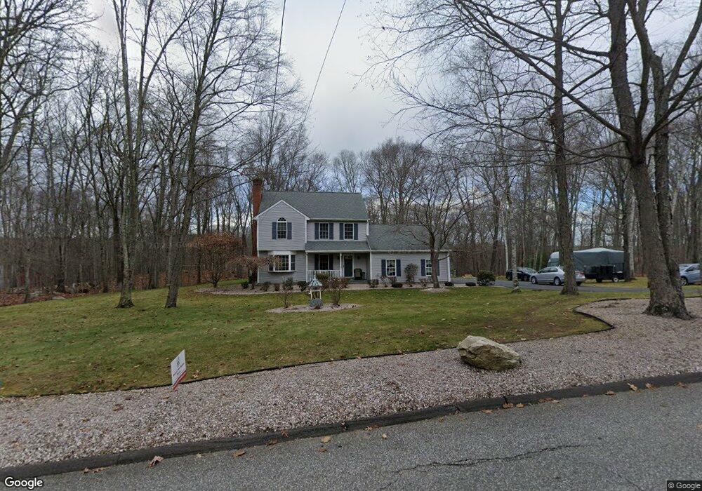
177 Shoddy Mill Rd Andover, CT 06232
Estimated Value: $401,000 - $469,000
3
Beds
3
Baths
1,669
Sq Ft
$260/Sq Ft
Est. Value
About This Home
This home is located at 177 Shoddy Mill Rd, Andover, CT 06232 and is currently estimated at $433,926, approximately $259 per square foot. 177 Shoddy Mill Rd is a home located in Tolland County with nearby schools including Andover Elementary School, RHAM Middle School, and RHAM High School.
Ownership History
Date
Name
Owned For
Owner Type
Purchase Details
Closed on
Jul 1, 2008
Sold by
Czerniawski Ben and Czerniawski Maria
Bought by
Kanaitis Kevin and Kanaitis Jennifer
Current Estimated Value
Home Financials for this Owner
Home Financials are based on the most recent Mortgage that was taken out on this home.
Original Mortgage
$260,000
Interest Rate
6.07%
Purchase Details
Closed on
Aug 24, 1998
Sold by
Bailey Byron
Bought by
Czerniawski Ben and Czerniawski Maria
Purchase Details
Closed on
Mar 2, 1998
Sold by
Fuller Robert and Fuller Eileen
Bought by
Bailey Byron
Purchase Details
Closed on
Jan 13, 1997
Sold by
Vinkels Valdis
Bought by
Seraya Corp
Purchase Details
Closed on
Feb 20, 1996
Sold by
Vinkelss Tr Valdis
Bought by
Seraya Inc
Create a Home Valuation Report for This Property
The Home Valuation Report is an in-depth analysis detailing your home's value as well as a comparison with similar homes in the area
Home Values in the Area
Average Home Value in this Area
Purchase History
| Date | Buyer | Sale Price | Title Company |
|---|---|---|---|
| Kanaitis Kevin | $325,000 | -- | |
| Kanaitis Kevin | $325,000 | -- | |
| Czerniawski Ben | $170,000 | -- | |
| Czerniawski Ben | $170,000 | -- | |
| Bailey Byron | $44,000 | -- | |
| Seraya Corp | $30,000 | -- | |
| Seraya Inc | $30,000 | -- |
Source: Public Records
Mortgage History
| Date | Status | Borrower | Loan Amount |
|---|---|---|---|
| Open | Seraya Inc | $257,000 | |
| Closed | Seraya Inc | $260,000 |
Source: Public Records
Tax History
| Year | Tax Paid | Tax Assessment Tax Assessment Total Assessment is a certain percentage of the fair market value that is determined by local assessors to be the total taxable value of land and additions on the property. | Land | Improvement |
|---|---|---|---|---|
| 2025 | $6,262 | $198,240 | $35,910 | $162,330 |
| 2024 | $6,237 | $198,240 | $35,910 | $162,330 |
| 2023 | $6,203 | $198,240 | $35,910 | $162,330 |
| 2022 | $6,326 | $198,240 | $35,910 | $162,330 |
| 2021 | $6,386 | $177,400 | $46,400 | $131,000 |
| 2020 | $6,428 | $180,500 | $46,400 | $134,100 |
| 2019 | $6,316 | $180,500 | $46,400 | $134,100 |
| 2018 | $6,128 | $180,500 | $46,400 | $134,100 |
| 2017 | $5,866 | $180,500 | $46,400 | $134,100 |
| 2016 | $5,972 | $194,400 | $46,400 | $148,000 |
| 2015 | $5,972 | $194,400 | $46,400 | $148,000 |
| 2014 | $5,972 | $194,400 | $46,400 | $148,000 |
Source: Public Records
Map
Nearby Homes
- 273 Hebron Rd
- 869 East St
- 8 Times Farm Rd
- 126 Hebron Rd
- 9 Tumblebrook Rd
- 400 West St
- 0 Rr 6 Route Unit 24048071
- 24 Brian Dr
- 34 Hanover Farms Rd
- 0 Wheeling Rd Unit 24116879
- 1 West St
- 0 Skinner Hill Rd Unit 24077239
- 559 East St
- 687 Hop River Rd
- 54 Bissell Ridge Rd
- 34 Volpi Rd
- 1 Notch Rd
- 71 Blue Ridge Dr
- 0 Hinkel Mae Dr
- 250 Carter St
- 185 Shoddy Mill Rd
- 167 Shoddy Mill Rd
- 4 Shoddy Mill Rd
- 100 Shoddy Mill Rd
- 181 Shoddy Mill Rd
- 187 Shoddy Mill Rd
- 103 Shoddy Mill Rd
- 173 Shoddy Mill Rd
- 171 Shoddy Mill Rd
- 99 Shoddy Mill Rd
- 144 Shoddy Mill Rd
- 34 Skinner Rd
- 87 Shoddy Mill Rd
- 81 Shoddy Mill Rd
- 82 Shoddy Mill Rd
- 77 Shoddy Mill Rd
- 99 Burnap Brook Rd
- 105 Burnap Brook Rd
- 73 Shoddy Mill Rd
- 95 Burnap Brook Rd
Your Personal Tour Guide
Ask me questions while you tour the home.