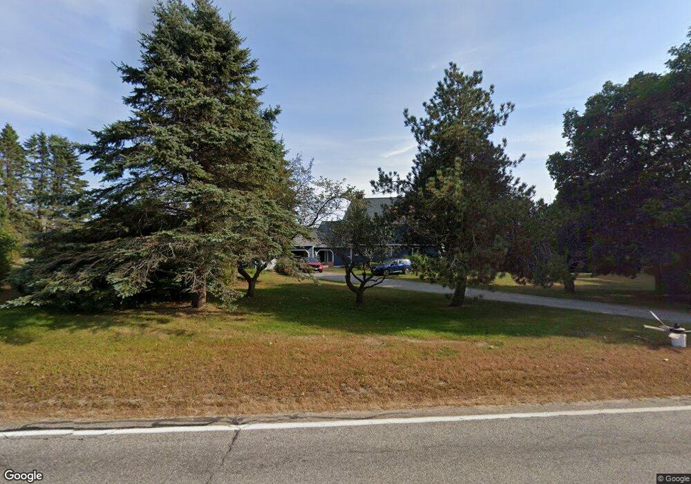
177 Spurwink Rd Scarborough, ME 04074
Estimated Value: $1,275,000 - $1,440,000
4
Beds
5
Baths
3,772
Sq Ft
$357/Sq Ft
Est. Value
About This Home
This home is located at 177 Spurwink Rd, Scarborough, ME 04074 and is currently estimated at $1,348,010, approximately $357 per square foot. 177 Spurwink Rd is a home located in Cumberland County with nearby schools including Scarborough High School.
Ownership History
Date
Name
Owned For
Owner Type
Purchase Details
Closed on
Jan 13, 2022
Sold by
Burnham Cynthia M
Bought by
Burnham Cynthia M and Avery-Witham Pamela W
Current Estimated Value
Home Financials for this Owner
Home Financials are based on the most recent Mortgage that was taken out on this home.
Original Mortgage
$548,250
Outstanding Balance
$503,209
Interest Rate
3.11%
Mortgage Type
Purchase Money Mortgage
Estimated Equity
$844,801
Create a Home Valuation Report for This Property
The Home Valuation Report is an in-depth analysis detailing your home's value as well as a comparison with similar homes in the area
Home Values in the Area
Average Home Value in this Area
Purchase History
| Date | Buyer | Sale Price | Title Company |
|---|---|---|---|
| Burnham Cynthia M | -- | None Available |
Source: Public Records
Mortgage History
| Date | Status | Borrower | Loan Amount |
|---|---|---|---|
| Open | Burnham Cynthia M | $548,250 |
Source: Public Records
Tax History Compared to Growth
Tax History
| Year | Tax Paid | Tax Assessment Tax Assessment Total Assessment is a certain percentage of the fair market value that is determined by local assessors to be the total taxable value of land and additions on the property. | Land | Improvement |
|---|---|---|---|---|
| 2025 | $11,588 | $1,022,800 | $427,300 | $595,500 |
| 2024 | $11,179 | $1,022,800 | $427,300 | $595,500 |
| 2023 | $8,988 | $562,800 | $180,600 | $382,200 |
| 2022 | $8,661 | $562,800 | $180,600 | $382,200 |
| 2021 | $8,453 | $562,800 | $180,600 | $382,200 |
| 2020 | $8,363 | $562,800 | $180,600 | $382,200 |
| 2019 | $8,273 | $562,800 | $180,600 | $382,200 |
| 2017 | $9,370 | $568,200 | $255,000 | $313,200 |
| 2016 | $9,046 | $568,200 | $255,000 | $313,200 |
| 2015 | $8,801 | $568,200 | $255,000 | $313,200 |
| 2014 | $8,580 | $568,200 | $255,000 | $313,200 |
| 2013 | -- | $568,200 | $255,000 | $313,200 |
Source: Public Records
Map
Nearby Homes
- 1 Quarry Rd
- 99 Quarry Rd
- 131 Spurwink Rd
- 17 Cross Hill Rd
- 162 Fogg Rd
- 2 White Sands Ln
- 2 Bayview Ave
- 190 Pleasant Hill Rd
- 25 Blue Meadow Ln Unit 25
- 9 Blue Meadow Ln Unit 9
- 4 Jewett Rd
- 52 Tamarack Dr
- 10 Pheasant Hill Rd
- 22 Orchard Rd
- 5 Barnstable Rd
- 6 Appletree Dr
- 18 Colchester Dr
- 38 Wildwood Dr
- 10 Wildwood Dr
- 96 Crestview Dr
- 179 Spurwink Rd
- 180 Spurwink Rd
- 175 Spurwink Rd
- 182 Spurwink Rd
- 2 Ivory Hill Ln
- 186 Spurwink Rd
- 176 Spurwink Rd
- 181 Spurwink Rd
- 173 Spurwink Rd
- 3 Ivory Hill Ln
- 187 Spurwink Rd
- 174 Spurwink Rd
- 0 Stanford Ln Unit 681647
- 0 Stanford Ln Unit 1109547
- 171 Spurwink Rd
- 5 Ivory Hill Ln
- 7 Stone Rd
- 194 Spurwink Rd
- 191 Spurwink Rd
- 169 Spurwink Rd