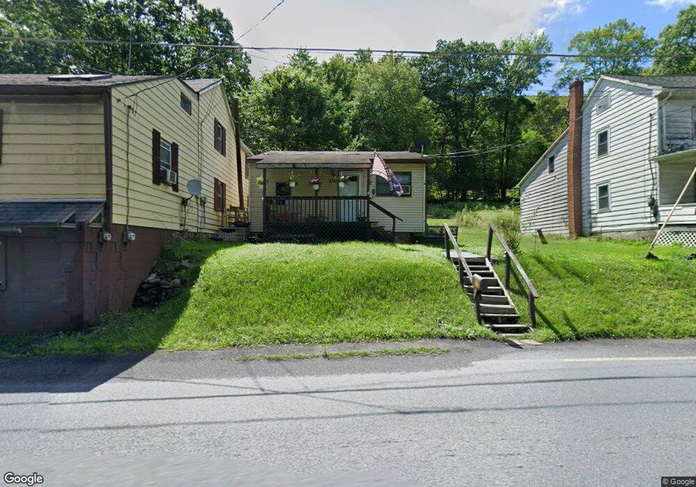
177 Stock St Nesquehoning, PA 18240
Estimated Value: $109,000 - $261,000
3
Beds
1
Bath
1,272
Sq Ft
$149/Sq Ft
Est. Value
About This Home
This home is located at 177 Stock St, Nesquehoning, PA 18240 and is currently estimated at $189,473, approximately $148 per square foot. 177 Stock St is a home located in Carbon County with nearby schools including Panther Valley Elementary School, Panther Valley Intermediate School, and Panther Valley Junior/Senior High School.
Ownership History
Date
Name
Owned For
Owner Type
Purchase Details
Closed on
Feb 24, 2022
Sold by
George Fetch
Bought by
Kevilly Roman Anthony
Current Estimated Value
Purchase Details
Closed on
Jun 23, 2016
Sold by
Pa Property Portfolio Inc
Bought by
Fetch George
Purchase Details
Closed on
Dec 4, 2015
Sold by
County Of Carbon
Bought by
Pa Property Portfolio Inc
Purchase Details
Closed on
Jan 26, 2006
Sold by
Drosdak Thomas M
Bought by
Fetch George
Create a Home Valuation Report for This Property
The Home Valuation Report is an in-depth analysis detailing your home's value as well as a comparison with similar homes in the area
Home Values in the Area
Average Home Value in this Area
Purchase History
| Date | Buyer | Sale Price | Title Company |
|---|---|---|---|
| Kevilly Roman Anthony | $75,000 | Frycklund Robert S | |
| Fetch George | $20,000 | Attorney | |
| Pa Property Portfolio Inc | $5,100 | None Available | |
| Fetch George | $28,000 | None Available |
Source: Public Records
Tax History Compared to Growth
Tax History
| Year | Tax Paid | Tax Assessment Tax Assessment Total Assessment is a certain percentage of the fair market value that is determined by local assessors to be the total taxable value of land and additions on the property. | Land | Improvement |
|---|---|---|---|---|
| 2025 | $3,482 | $36,850 | $4,200 | $32,650 |
| 2024 | $3,624 | $36,850 | $4,200 | $32,650 |
| 2023 | $3,551 | $36,850 | $4,200 | $32,650 |
| 2022 | $3,574 | $36,850 | $4,200 | $32,650 |
| 2021 | $3,574 | $36,850 | $4,200 | $32,650 |
| 2020 | $3,519 | $36,850 | $4,200 | $32,650 |
| 2019 | $3,316 | $36,850 | $4,200 | $32,650 |
| 2018 | $3,279 | $36,850 | $4,200 | $32,650 |
| 2017 | $3,279 | $36,850 | $4,200 | $32,650 |
| 2016 | -- | $36,850 | $4,200 | $32,650 |
| 2015 | -- | $36,850 | $4,200 | $32,650 |
| 2014 | -- | $36,850 | $4,200 | $32,650 |
Source: Public Records
Map
Nearby Homes
- 0 11th Ave Unit PM-131093
- 237 Stock St
- 308 E Snyder Ave
- 37 Jones St
- 248 E Snyder Ave
- 217 E Ridge St
- 265-267 E Bertsch St
- 221 E Patterson St
- 307 E Abbott St
- 330 E Abbott St
- 328 E Abbott St
- 28 E Snyder Ave
- 260 E Abbott St
- 9 Tunnel St
- 55 S Walnut St
- 25 W Ridge St
- 40 Springgarden St
- 1 W Lehigh St
- 138 E Fell St
- 36 E Fell St
- 173 Stock St
- 185 Stock St
- 180 Stock St
- 180 Stock St Unit 1
- 160 Stock St
- 184 Yard St
- 00 Stock St
- Rt 54 Stock St
- 0 Stock St Unit PM-62188
- 0 Stock St Unit 10-1028
- 0 Stock St Unit 8-9520
- 0 Stock St Unit PM-110011
- 0 Stock St Unit PACC2003352
- 0 Stock St Unit 717644
- 0 Stock St
- 185 Yard St
- 188 Yard St
- 187 Yard St
- 189 Yard St
- 190 Stock St