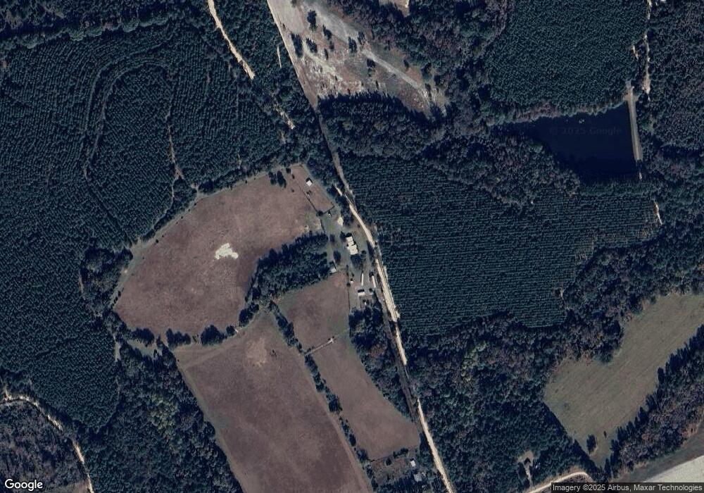
177 Sumner Rd Adrian, GA 31002
Estimated Value: $241,000 - $352,168
3
Beds
1
Bath
1,660
Sq Ft
$174/Sq Ft
Est. Value
About This Home
This home is located at 177 Sumner Rd, Adrian, GA 31002 and is currently estimated at $289,056, approximately $174 per square foot. 177 Sumner Rd is a home located in Emanuel County with nearby schools including Swainsboro High School.
Ownership History
Date
Name
Owned For
Owner Type
Purchase Details
Closed on
Sep 24, 2009
Sold by
Harper Joseph A
Bought by
Georgia Transmission Corporation
Current Estimated Value
Purchase Details
Closed on
Feb 23, 2006
Sold by
Ragsdale Rick
Bought by
Pijnenburg Maria
Home Financials for this Owner
Home Financials are based on the most recent Mortgage that was taken out on this home.
Original Mortgage
$150,000
Interest Rate
6.05%
Mortgage Type
New Conventional
Purchase Details
Closed on
Sep 30, 1994
Bought by
Ragsdale Maria P and Ragsdale R
Purchase Details
Closed on
Jul 23, 1993
Bought by
Martin Lawson J and Martin H
Purchase Details
Closed on
Feb 25, 1993
Bought by
Lawson J Carlton
Create a Home Valuation Report for This Property
The Home Valuation Report is an in-depth analysis detailing your home's value as well as a comparison with similar homes in the area
Purchase History
| Date | Buyer | Sale Price | Title Company |
|---|---|---|---|
| Georgia Transmission Corporation | $500 | -- | |
| Pijnenburg Maria | $30,000 | -- | |
| Ragsdale Maria P | $62,000 | -- | |
| Martin Lawson J | -- | -- | |
| Lawson J Carlton | $115,000 | -- |
Source: Public Records
Mortgage History
| Date | Status | Borrower | Loan Amount |
|---|---|---|---|
| Previous Owner | Pijnenburg Maria | $150,000 |
Source: Public Records
Tax History
| Year | Tax Paid | Tax Assessment Tax Assessment Total Assessment is a certain percentage of the fair market value that is determined by local assessors to be the total taxable value of land and additions on the property. | Land | Improvement |
|---|---|---|---|---|
| 2024 | $1,877 | $92,502 | $54,151 | $38,351 |
| 2023 | $2,021 | $90,057 | $54,151 | $35,906 |
| 2022 | $2,338 | $87,161 | $54,151 | $33,010 |
| 2021 | $2,337 | $85,467 | $54,151 | $31,316 |
| 2020 | $2,188 | $75,922 | $52,680 | $23,242 |
| 2019 | $2,095 | $73,165 | $52,680 | $20,485 |
| 2018 | $2,105 | $73,165 | $52,680 | $20,485 |
| 2017 | $2,038 | $70,682 | $52,680 | $18,002 |
| 2016 | $1,937 | $69,158 | $51,156 | $18,002 |
| 2015 | -- | $69,035 | $51,033 | $18,002 |
| 2014 | -- | $66,823 | $52,143 | $14,680 |
| 2013 | -- | $66,436 | $52,142 | $14,293 |
Source: Public Records
Map
Nearby Homes
- 0 Trinity Church Rd
- 546 Alton Lawson Rd
- 87 Georgia Ave
- 600 Alton Lawson Rd
- 400 Alton Lawson Rd
- 503 Alton Lawson Rd
- 0 Sardis Church Rd Unit 10601519
- 0 Walden Way Unit 10601502
- 114 Ohoopee Rd
- 728 Martin Rd
- 241 Foskey Cemetery Rd
- 140 Keas Church Cir
- 250 Archers Pond Smith Rd
- 0 Asa Lindsey Rd Unit 10595336
- 0 Asa Lindsey Rd Unit 25496504
- 0 Asa Lindsey Rd Unit 10670392
- 151 Brantley Midas Rd
- 53 Averett St
- 55 Hatcher St
- 0 Eugene Ward Rd Unit 10652768
- 135 Sumner Rd
- 129 Sumner Rd
- 132 Mimbs Coleman Rd
- 122 Sumner Rd
- 56 Sumner Rd
- 86 Sumner Rd
- 46 Coleman Mires Rd
- 61 Mimbs Coleman Rd
- 66 Sumner Rd
- 521 Faith Tabernacle Rd
- 492 Faith Tabernacle Rd
- 152 Corinth Church Rd
- 492 Faith Tabernacle Church Rd
- 60 Mills Ln
- 136 Mimbs Coleman Rd
- 693 Foskey Rd
- 212 Mimbs Coleman Rd
- 203 Corinth Church Rd
- 295 Corinth Church Rd
- 692 Foskey Rd
