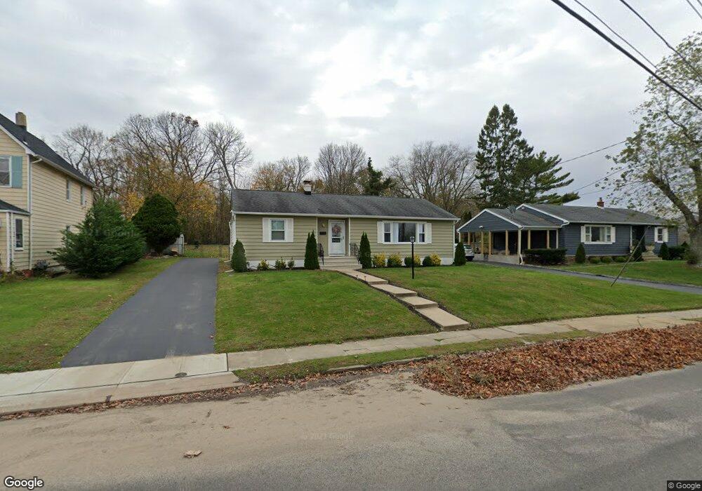
177 W End Ave Long Branch, NJ 07740
Estimated Value: $797,613 - $1,261,000
2
Beds
2
Baths
1,184
Sq Ft
$861/Sq Ft
Est. Value
About This Home
This home is located at 177 W End Ave, Long Branch, NJ 07740 and is currently estimated at $1,019,403, approximately $860 per square foot. 177 W End Ave is a home located in Monmouth County with nearby schools including Long Branch High School, Holy Trinity School, and Bet Yaakov of the Jersey Shore.
Ownership History
Date
Name
Owned For
Owner Type
Purchase Details
Closed on
Mar 15, 2016
Sold by
Wells Fargo Bank Na
Bought by
Tenhunen Rocio and Tenhunen Matti
Current Estimated Value
Purchase Details
Closed on
Aug 27, 2008
Sold by
Strohlin Robert W and Strohlin Ruby K
Bought by
Strohlin Ruby K
Create a Home Valuation Report for This Property
The Home Valuation Report is an in-depth analysis detailing your home's value as well as a comparison with similar homes in the area
Home Values in the Area
Average Home Value in this Area
Purchase History
| Date | Buyer | Sale Price | Title Company |
|---|---|---|---|
| Tenhunen Rocio | $156,000 | None Available | |
| Strohlin Ruby K | -- | None Available |
Source: Public Records
Tax History Compared to Growth
Tax History
| Year | Tax Paid | Tax Assessment Tax Assessment Total Assessment is a certain percentage of the fair market value that is determined by local assessors to be the total taxable value of land and additions on the property. | Land | Improvement |
|---|---|---|---|---|
| 2025 | $9,339 | $732,800 | $505,700 | $227,100 |
| 2024 | $8,430 | $607,600 | $390,400 | $217,200 |
| 2023 | $8,430 | $542,800 | $335,400 | $207,400 |
| 2022 | $5,935 | $408,000 | $225,300 | $182,700 |
| 2021 | $5,935 | $316,100 | $145,300 | $170,800 |
| 2020 | $6,523 | $312,100 | $142,300 | $169,800 |
| 2019 | $5,823 | $277,000 | $137,300 | $139,700 |
| 2018 | $5,854 | $276,900 | $142,300 | $134,600 |
| 2017 | $5,511 | $267,400 | $135,300 | $132,100 |
| 2016 | $5,436 | $269,000 | $140,300 | $128,700 |
| 2015 | $3,759 | $180,000 | $98,500 | $81,500 |
| 2014 | $3,875 | $195,200 | $122,900 | $72,300 |
Source: Public Records
Map
Nearby Homes
- 512 Sairs Ave
- 522 Hoey St
- 279 W West End Ave
- 294 Brighton Ave
- 595 Woodgate Ave
- 23 Woolley Ave
- 107 W End Ave
- 266 Lenox Ave
- 345 Hollywood Ave
- 65 Cedar Ave Unit C11
- 8 Woolley Ave
- 119 Avery Ave Unit H21
- 211 Cedar Ave
- 552 Westwood Ave
- 45 Cedar Ave
- 673 Westwood Ave
- 1 Howland Ave
- 388 Brookdale Ave
- 58 Avery Ave
- 434 Westwood Ave
- 173 W End Ave
- 181 W End Ave
- 171 W End Ave
- 183 W End Ave
- Winter 221 Brighton Ave Unit 306
- 221 Brighton Ave Unit 306
- 221 Brighton Ave Unit 305
- 221 Brighton Ave Unit 101
- 221 Brighton Ave Unit 301
- 221 Brighton Ave Unit 303
- 221 Brighton Ave Unit 403
- 221 Brighton Ave Unit 402
- 221 Brighton Ave Unit 202
- 221 Brighton Ave Unit 201
- 221 Brighton Ave Unit 302
- 221 Brighton Ave Unit 3
- Winter 221 Brighton Ave Unit 203
- 221 Brighton Ave Unit 203
- 215 Brighton Ave Unit B
- 215 Brighton Ave Unit A