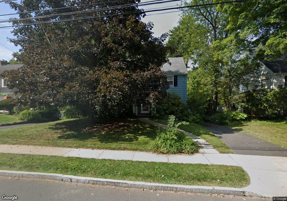
177 Westland Ave West Hartford, CT 06107
Estimated Value: $583,309 - $729,000
4
Beds
3
Baths
2,170
Sq Ft
$294/Sq Ft
Est. Value
About This Home
This home is located at 177 Westland Ave, West Hartford, CT 06107 and is currently estimated at $637,077, approximately $293 per square foot. 177 Westland Ave is a home located in Hartford County with nearby schools including Duffy School, Sedgwick Middle School, and Conard High School.
Ownership History
Date
Name
Owned For
Owner Type
Purchase Details
Closed on
Jan 27, 2010
Sold by
Morgan Sandra
Bought by
Morgan Sandra
Current Estimated Value
Create a Home Valuation Report for This Property
The Home Valuation Report is an in-depth analysis detailing your home's value as well as a comparison with similar homes in the area
Home Values in the Area
Average Home Value in this Area
Purchase History
| Date | Buyer | Sale Price | Title Company |
|---|---|---|---|
| Morgan Sandra | -- | -- |
Source: Public Records
Mortgage History
| Date | Status | Borrower | Loan Amount |
|---|---|---|---|
| Open | Morgan Sandra | $200,000 | |
| Previous Owner | Morgan Sandra | $94,000 | |
| Previous Owner | Morgan Sandra | $15,000 | |
| Previous Owner | Morgan Sandra | $130,000 |
Source: Public Records
Tax History Compared to Growth
Tax History
| Year | Tax Paid | Tax Assessment Tax Assessment Total Assessment is a certain percentage of the fair market value that is determined by local assessors to be the total taxable value of land and additions on the property. | Land | Improvement |
|---|---|---|---|---|
| 2025 | $11,526 | $257,390 | $129,710 | $127,680 |
| 2024 | $10,900 | $257,390 | $129,710 | $127,680 |
| 2023 | $10,532 | $257,390 | $129,710 | $127,680 |
| 2022 | $10,471 | $257,390 | $129,710 | $127,680 |
| 2021 | $9,989 | $235,480 | $124,320 | $111,160 |
| 2020 | $9,486 | $226,940 | $116,340 | $110,600 |
| 2019 | $9,486 | $226,940 | $116,340 | $110,600 |
| 2018 | $9,305 | $226,940 | $116,340 | $110,600 |
| 2017 | $9,314 | $226,940 | $116,340 | $110,600 |
| 2016 | $9,251 | $234,150 | $108,220 | $125,930 |
| 2015 | $8,970 | $234,150 | $108,220 | $125,930 |
| 2014 | $8,750 | $234,150 | $108,220 | $125,930 |
Source: Public Records
Map
Nearby Homes
- 51 Lemay St
- 1925 Boulevard
- 50 Tunxis Rd
- 26 Pheasant Hill Dr
- 126 Westminster Dr
- 14 Hedwig Ct
- 632 Park Rd
- 7 Buena Vista Rd
- 6 Greenhurst Rd
- 1640 Boulevard
- 63 Rumford St
- 1028 Farmington Ave Unit 1C
- 2 Arapahoe Rd Unit 313
- 2 Arapahoe Rd Unit 308
- 2 Arapahoe Rd Unit 611
- 2 Arapahoe Rd Unit 601
- 2 Arapahoe Rd Unit 510
- 2 Arapahoe Rd Unit 505
- 2 Arapahoe Rd Unit 604
- 2 Arapahoe Rd Unit 609
- 181 Westland Ave
- 171 Westland Ave
- 187 Westland Ave
- 165 Westland Ave
- 86 Lemay St
- 84 Lemay St
- 90 Lemay St
- 178 Westland Ave
- 82 Lemay St
- 172 Westland Ave
- 92 Lemay St
- 193 Westland Ave
- 161 Westland Ave
- 107 Van Buren Ave
- 168 Westland Ave
- 78 Lemay St
- 94 Lemay St
- 164 Westland Ave
- 155 Westland Ave
- 76 Lemay St