1770 Bristol Walk Unit 1770H Hoffman Estates, IL 60169
South Hoffman Estates NeighborhoodEstimated Value: $151,000 - $220,000
2
Beds
--
Bath
1,100
Sq Ft
$177/Sq Ft
Est. Value
About This Home
This home is located at 1770 Bristol Walk Unit 1770H, Hoffman Estates, IL 60169 and is currently estimated at $194,830, approximately $177 per square foot. 1770 Bristol Walk Unit 1770H is a home located in Cook County with nearby schools including John Muir Literacy Academy, Dwight D Eisenhower Junior High School, and Hoffman Estates High School.
Ownership History
Date
Name
Owned For
Owner Type
Purchase Details
Closed on
Feb 27, 2002
Sold by
Chicago Kosaido Corp
Bought by
Muto Noburo and Muro Sumiko
Current Estimated Value
Home Financials for this Owner
Home Financials are based on the most recent Mortgage that was taken out on this home.
Original Mortgage
$63,200
Interest Rate
7.11%
Create a Home Valuation Report for This Property
The Home Valuation Report is an in-depth analysis detailing your home's value as well as a comparison with similar homes in the area
Home Values in the Area
Average Home Value in this Area
Purchase History
| Date | Buyer | Sale Price | Title Company |
|---|---|---|---|
| Muto Noburo | $79,000 | -- |
Source: Public Records
Mortgage History
| Date | Status | Borrower | Loan Amount |
|---|---|---|---|
| Closed | Muto Noburo | $63,200 |
Source: Public Records
Tax History Compared to Growth
Tax History
| Year | Tax Paid | Tax Assessment Tax Assessment Total Assessment is a certain percentage of the fair market value that is determined by local assessors to be the total taxable value of land and additions on the property. | Land | Improvement |
|---|---|---|---|---|
| 2024 | $2,281 | $13,403 | $2,799 | $10,604 |
| 2023 | $2,152 | $13,403 | $2,799 | $10,604 |
| 2022 | $2,152 | $13,403 | $2,799 | $10,604 |
| 2021 | $1,522 | $10,536 | $4,407 | $6,129 |
| 2020 | $1,620 | $10,536 | $4,407 | $6,129 |
| 2019 | $1,638 | $11,766 | $4,407 | $7,359 |
| 2018 | $449 | $7,562 | $3,848 | $3,714 |
| 2017 | $1,341 | $7,562 | $3,848 | $3,714 |
| 2016 | $1,509 | $7,562 | $3,848 | $3,714 |
| 2015 | $761 | $4,994 | $3,358 | $1,636 |
| 2014 | $765 | $4,994 | $3,358 | $1,636 |
| 2013 | $727 | $4,994 | $3,358 | $1,636 |
Source: Public Records
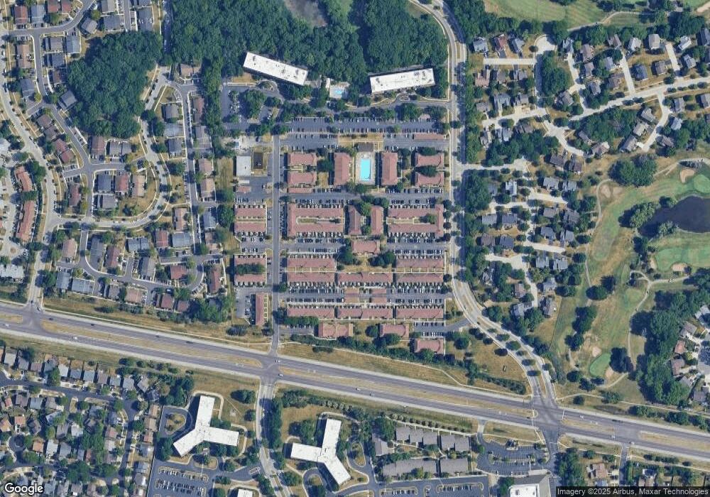
Map
Nearby Homes
- 1763 Bristol Walk Unit 1763
- 1808 Fayette Walk Unit H
- 1704 Fayette Walk Unit B
- 1800 Huntington Blvd Unit AE615
- 1840 Huntington Blvd Unit 415
- 1840 Huntington Blvd Unit 412
- 1475 Rebecca Dr Unit 217
- 1854 Huntington Blvd Unit C
- 1375 Rebecca Dr Unit 318
- 1862 Stockton Dr Unit 3283
- 1738 Ardwick Dr
- 1415 N Oakmont Rd
- 1886 Stockton Dr Unit 3253
- 1456 Della Dr
- 1685 Cornell Dr
- 1940 Kenilworth Cir Unit D
- 1925 Georgetown Ln Unit 4
- 1977 Kenilworth Cir Unit D
- 1672 Cornell Dr
- 1956 Georgetown Ln Unit 4
- 1760 Bristol Walk Unit E
- 1760 Bristol Walk Unit F
- 1770 Bristol Walk Unit 1770G
- 1770 Bristol Walk Unit 1770C
- 1760 Bristol Walk Unit 1760E
- 1770 Bristol Walk Unit 1770D
- 1760 Bristol Walk Unit 1760F
- 1760 Bristol Walk Unit 1760B
- 1760 Bristol Walk Unit 1760A
- 1760 Bristol Walk Unit 1760 Bristol Walk E
- 1760 Bristol Walk
- 1760 Bristol Walk Unit B
- 1783 Bristol Walk Unit 1783
- 1780 Bristol Walk
- 1768 Sessions Walk Unit 1768E
- 1768 Sessions Walk Unit 1768A
- 1768 Sessions Walk Unit 1768F
- 1768 Sessions Walk Unit 1768
- 1768 Sessions Walk Unit 1768B
- 1768 Sessions Walk Unit F