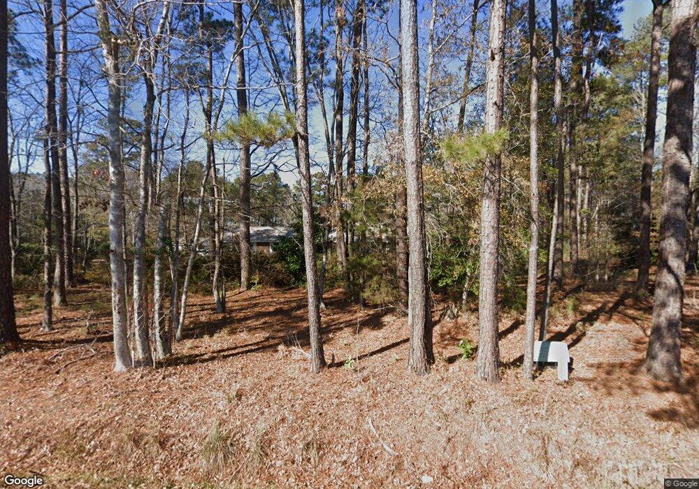
1770 Burcale Rd Myrtle Beach, SC 29579
Estimated Value: $374,000 - $690,743
4
Beds
6
Baths
2,820
Sq Ft
$202/Sq Ft
Est. Value
About This Home
This home is located at 1770 Burcale Rd, Myrtle Beach, SC 29579 and is currently estimated at $568,436, approximately $201 per square foot. 1770 Burcale Rd is a home located in Horry County with nearby schools including River Oaks Elementary School, Ten Oaks Middle, and Carolina Forest High School.
Ownership History
Date
Name
Owned For
Owner Type
Purchase Details
Closed on
Jan 12, 2006
Sold by
Floyd Isla Mae
Bought by
Lee Ronald and Lee Julie C
Current Estimated Value
Purchase Details
Closed on
Mar 24, 2005
Sold by
Floyd Isla C
Bought by
Lee Ronald and Lee Julie C
Home Financials for this Owner
Home Financials are based on the most recent Mortgage that was taken out on this home.
Original Mortgage
$208,000
Interest Rate
5.62%
Mortgage Type
Purchase Money Mortgage
Create a Home Valuation Report for This Property
The Home Valuation Report is an in-depth analysis detailing your home's value as well as a comparison with similar homes in the area
Home Values in the Area
Average Home Value in this Area
Purchase History
| Date | Buyer | Sale Price | Title Company |
|---|---|---|---|
| Lee Ronald | -- | None Available | |
| Lee Ronald | $260,000 | -- |
Source: Public Records
Mortgage History
| Date | Status | Borrower | Loan Amount |
|---|---|---|---|
| Previous Owner | Lee Ronald | $208,000 |
Source: Public Records
Tax History Compared to Growth
Tax History
| Year | Tax Paid | Tax Assessment Tax Assessment Total Assessment is a certain percentage of the fair market value that is determined by local assessors to be the total taxable value of land and additions on the property. | Land | Improvement |
|---|---|---|---|---|
| 2024 | $1,341 | $26,669 | $11,620 | $15,049 |
| 2023 | $1,341 | $13,586 | $3,486 | $10,100 |
| 2021 | $1,186 | $13,586 | $3,486 | $10,100 |
| 2020 | $1,053 | $13,586 | $3,486 | $10,100 |
| 2019 | $1,053 | $13,586 | $3,486 | $10,100 |
| 2018 | $1,032 | $13,016 | $2,664 | $10,352 |
| 2017 | $1,017 | $13,016 | $2,664 | $10,352 |
| 2016 | -- | $13,016 | $2,664 | $10,352 |
| 2015 | $1,017 | $13,017 | $2,665 | $10,352 |
| 2014 | $937 | $13,017 | $2,665 | $10,352 |
Source: Public Records
Map
Nearby Homes
- 1984 Green Fern Ln Unit 1984
- 200 Yam Dr Unit F
- 1101 Peace Pipe Place Unit 104
- 303 Golan Cir Unit D
- 303 Golan Cir Unit E
- 1228 Lanterns Rest Rd
- 331 Golan Cir Unit A
- 337 Golan Cir Unit C
- 341 Golan Cir Unit B
- 88 Bonnie Bridge Cir
- 1141 Peace Pipe Place Unit 102
- 1141 Peace Pipe Place Unit 1
- 266 Bonnie Bridge Cir
- 305 Granada St Unit E
- 1145 Peace Pipe Place Unit 102
- 301 Granada St Unit D
- 405 El Camino Dr Unit C
- 3530 Reavis Ln
- 258 Christiana Ln Unit A
- 757 Bucklin Loop
- 1774 Burcale Rd
- 1776 Burcale Rd
- 1998 Mossy Point Cove Unit 1998
- 1996 Mossy Point Cove Unit 1996
- 1994 Mossy Point Cove Unit 1994
- 1999 Mossy Point Cove Unit 1999
- 1997 Mossy Point Cove Unit 1997
- 1988 Mossy Point Cove Unit Longwood Lakes
- 1988 Mossy Point Cove Unit 1988
- 1780 Burcale Rd
- 1990 Mossy Point Cove Unit 1990
- 1992 Mossy Point Cove Unit 1992
- 1995 Mossy Point Cove Unit Longwood Lakes
- 1995 Mossy Point Cove Unit 1995
- 2196 Longwood Lakes Dr Unit 2196
- 1986 Green Fern Ln Unit 1986
- 2194 Longwood Lakes Dr Unit LONGWOOD LAKES ESTAT
- 2194 Longwood Lakes Dr Unit 2194
- 2194 Longwood Lakes Dr Unit Longwood Lakes
- 1989 Mossy Point Cove Unit Longwood Lakes Unit
