1770 Compass Blvd Unit 21 Freeland, WA 98249
Estimated Value: $481,000 - $504,738
2
Beds
2
Baths
1,410
Sq Ft
$351/Sq Ft
Est. Value
About This Home
This home is located at 1770 Compass Blvd Unit 21, Freeland, WA 98249 and is currently estimated at $494,435, approximately $350 per square foot. 1770 Compass Blvd Unit 21 is a home located in Island County with nearby schools including South Whidbey Elementary School, South Whidbey Middle School, and South Whidbey High School.
Ownership History
Date
Name
Owned For
Owner Type
Purchase Details
Closed on
Aug 24, 2023
Sold by
Smugglers Cove Llc
Bought by
Heggenes M Kathleen
Current Estimated Value
Purchase Details
Closed on
Jun 30, 2022
Sold by
Whitehead and Kenna
Bought by
Smugglers Cove Llc
Purchase Details
Closed on
Dec 15, 2016
Sold by
Tannura Betty M
Bought by
Whitehead Dane and Whitehead Kenna
Purchase Details
Closed on
Jan 26, 2007
Sold by
Tannura Betty M
Bought by
Tannura Betty M and The Tannura Revocable Trust
Create a Home Valuation Report for This Property
The Home Valuation Report is an in-depth analysis detailing your home's value as well as a comparison with similar homes in the area
Home Values in the Area
Average Home Value in this Area
Purchase History
| Date | Buyer | Sale Price | Title Company |
|---|---|---|---|
| Heggenes M Kathleen | $510,000 | Chicago Title | |
| Smugglers Cove Llc | -- | None Listed On Document | |
| Whitehead Dane | $360,000 | Premier Title Island | |
| Tannura Betty M | -- | Chicago Title Insurance Co |
Source: Public Records
Tax History Compared to Growth
Tax History
| Year | Tax Paid | Tax Assessment Tax Assessment Total Assessment is a certain percentage of the fair market value that is determined by local assessors to be the total taxable value of land and additions on the property. | Land | Improvement |
|---|---|---|---|---|
| 2024 | $3,034 | $459,445 | $155,000 | $304,445 |
| 2023 | $3,034 | $463,094 | $155,000 | $308,094 |
| 2022 | $2,859 | $437,691 | $155,000 | $282,691 |
| 2021 | $2,679 | $359,243 | $110,000 | $249,243 |
| 2020 | $2,463 | $342,633 | $100,000 | $242,633 |
| 2019 | $2,481 | $323,312 | $85,000 | $238,312 |
| 2018 | $2,198 | $324,003 | $85,000 | $239,003 |
| 2017 | $2,026 | $265,384 | $25,000 | $240,384 |
| 2016 | $1,747 | $268,145 | $25,000 | $243,145 |
| 2015 | -- | $223,315 | $25,000 | $198,315 |
| 2013 | -- | $227,771 | $25,000 | $202,771 |
Source: Public Records
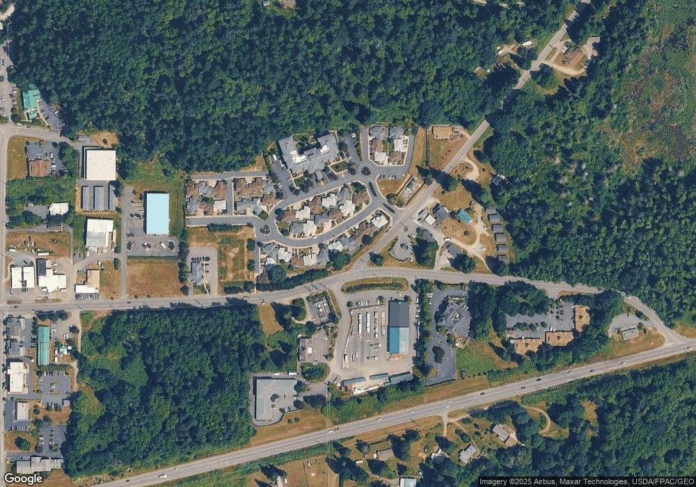
Map
Nearby Homes
- 1738 Alliance Ave Unit 14
- 1762 Compass Blvd Unit 17
- 1776 Compass Blvd Unit 24
- 0 XXX Osprey Rd Unit 15-2
- 0 XXX Osprey Rd (15-1 & 15-2)
- 0 XXX Osprey Rd Unit 15-1
- 5591 S Harbor Ave
- 5430 Pleasant View Ln
- 1672 Dorsey Dr
- 1649 Stewart Rd
- 0 Lynne Dr
- 1940 Cattail Ln
- 1578 Stewart Rd
- 1774 Twin Oaks Ln
- 0 0-xx E Harbor Rd
- 1857 Watkins Rd
- 18796 S Freeland Ave
- 5453 Harborside Ln
- 5208 E Harbor Rd
- 0 XXX E Harbor Rd
- 5516 Alliance Ave
- 5516 Alliance Ave Unit 38
- 5504 Sunnyside Place Unit 41
- 1740 Alliance Ave Unit 15
- 1751 Compass Blvd Unit 9
- 1774 Compass Blvd Unit 23
- 1766 Alliance Ave Unit 27
- 1768 Alliance Ave Unit 28
- 1757 Compass Blvd Unit 7
- 1769 Compass Blvd Unit 32
- 5507 Maple Ridge Dr Unit 37
- 1767 Compass Blvd Unit 33
- 1754 Lee Ct Unit 6
- 1772 Compass Blvd Unit 22
- 5503 Maple Ridge Dr Unit 36
- 1735 Compass Blvd Unit 12
- 1741 Compass Blvd Unit 10
- 1753 Compass Blvd Unit 8
- 5506 Sunnyside Place Unit 40
- 1761 Compass Blvd Unit 35