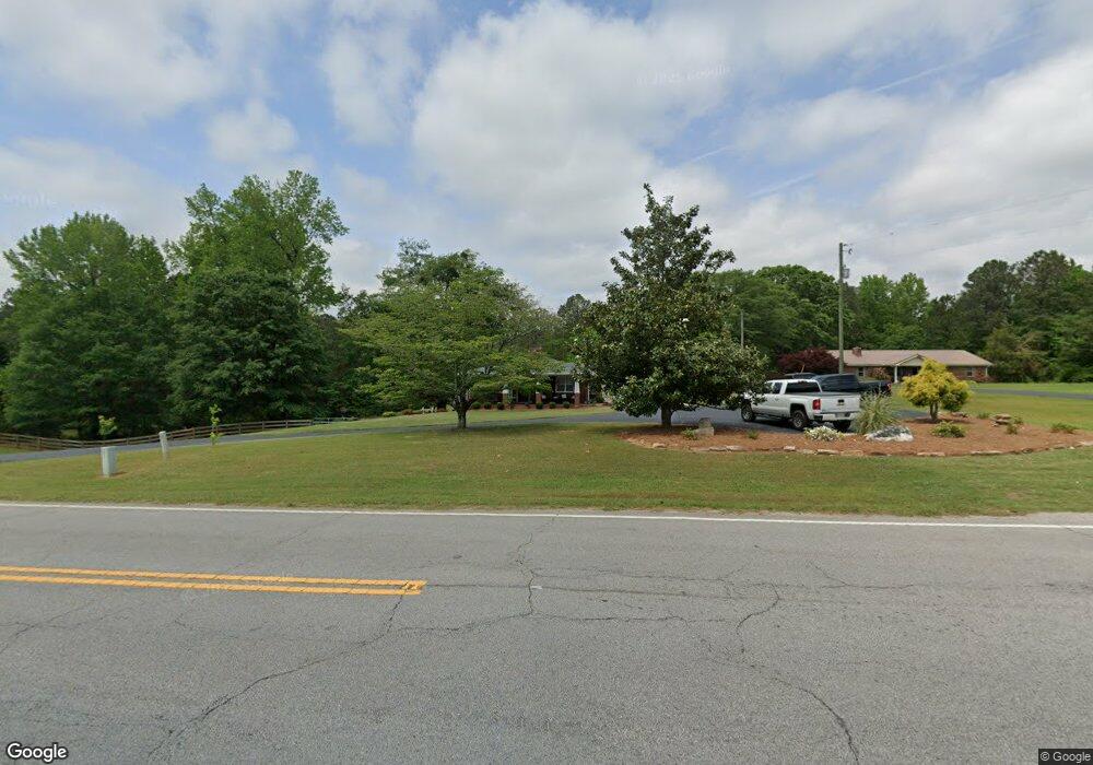
1770 Pleasant Hill Rd Carrollton, GA 30116
Estimated Value: $241,000 - $325,000
2
Beds
1
Bath
1,760
Sq Ft
$152/Sq Ft
Est. Value
About This Home
This home is located at 1770 Pleasant Hill Rd, Carrollton, GA 30116 and is currently estimated at $266,675, approximately $151 per square foot. 1770 Pleasant Hill Rd is a home located in Carroll County with nearby schools including Central Elementary School, Central Middle School, and Central High School.
Ownership History
Date
Name
Owned For
Owner Type
Purchase Details
Closed on
Oct 29, 2002
Sold by
Wyatt Lester L
Bought by
Kessler Ryan and Kessler Tiffany
Current Estimated Value
Purchase Details
Closed on
Oct 30, 1995
Bought by
Kessler Martha J Eta
Purchase Details
Closed on
Sep 9, 1993
Bought by
Cox Mary
Create a Home Valuation Report for This Property
The Home Valuation Report is an in-depth analysis detailing your home's value as well as a comparison with similar homes in the area
Home Values in the Area
Average Home Value in this Area
Purchase History
| Date | Buyer | Sale Price | Title Company |
|---|---|---|---|
| Kessler Ryan | $30,000 | -- | |
| Kessler Ryan | -- | -- | |
| Kessler Martha J Eta | -- | -- | |
| Cox Mary | -- | -- |
Source: Public Records
Tax History Compared to Growth
Tax History
| Year | Tax Paid | Tax Assessment Tax Assessment Total Assessment is a certain percentage of the fair market value that is determined by local assessors to be the total taxable value of land and additions on the property. | Land | Improvement |
|---|---|---|---|---|
| 2025 | $1,564 | $89,626 | $20,806 | $68,820 |
| 2024 | $1,582 | $89,626 | $31,174 | $58,452 |
| 2023 | $1,582 | $78,300 | $24,939 | $53,361 |
| 2022 | $1,197 | $59,473 | $16,626 | $42,847 |
| 2021 | $1,055 | $49,956 | $13,301 | $36,655 |
| 2020 | $979 | $45,686 | $12,092 | $33,594 |
| 2019 | $951 | $43,787 | $12,092 | $31,695 |
| 2018 | $917 | $41,263 | $11,301 | $29,962 |
| 2017 | $919 | $41,263 | $11,301 | $29,962 |
| 2016 | $920 | $41,263 | $11,301 | $29,962 |
| 2015 | $834 | $33,815 | $11,007 | $22,808 |
| 2014 | $837 | $33,815 | $11,007 | $22,808 |
Source: Public Records
Map
Nearby Homes
- 100 Eldorado Dr
- 18 Dyer Cir
- 409 Reids Mill Way
- 802 Folds Rd
- 912 Folds Rd
- 998 Folds Rd
- 835 Eagles Nest Cir
- 1265 Horsley Mill Rd
- 4 Maple Hill Rd
- 971 Horsley Mill Rd
- 240 Knob Dr
- 116 Camilla Dr
- 00 Old Airport Rd
- 61 Holly Cir
- 180 Sunrise Ln
- 180 Sunrise Ln Unit 183
- 74 Holly Dr
- 1005 Oak Mountain Rd
- 53 Holiday Dr
- 690 Horsley Mill Rd
- 0 W Wayside Rd Unit A 8425922
- 0 W Wayside Rd Unit C 8425924
- 0 W Wayside Rd Unit 8392196
- 0 W Wayside Rd Unit 8013999
- 0 W Wayside Rd Unit 8116794
- 0 W Wayside Rd Unit 5541178
- 0 W Wayside Rd Unit 20165500
- 0 W Wayside Rd Unit 144985
- 0 W Wayside Rd Unit 10226168
- 0 W Wayside Rd Unit 7300633
- 0 W Wayside Rd Unit 7074158
- 0 W Wayside Rd Unit 10065084
- 0 W Wayside Rd Unit 20035072
- 0 W Wayside Rd Unit 8734138
- 0 W Wayside Rd Unit 8815701
- 0 W Wayside Rd Unit 3 8738224
- 0 W Wayside Rd Unit 6682321
- 0 W Wayside Rd Unit 8723443
- 0 W Wayside Rd Unit 6580900
- 0 W Wayside Rd Unit 8616915