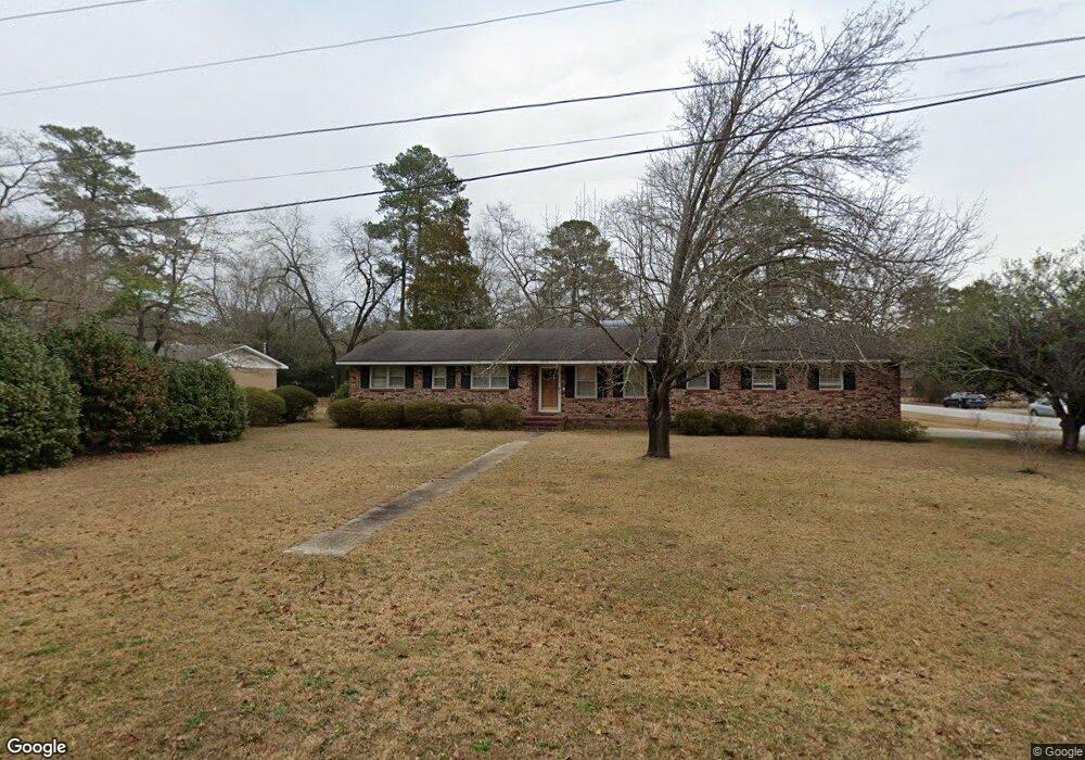
1770 Saint Anthony Ave Florence, SC 29505
Estimated Value: $194,000 - $243,824
4
Beds
2
Baths
1,931
Sq Ft
$116/Sq Ft
Est. Value
About This Home
This home is located at 1770 Saint Anthony Ave, Florence, SC 29505 and is currently estimated at $223,456, approximately $115 per square foot. 1770 Saint Anthony Ave is a home located in Florence County with nearby schools including McLaurin Elementary School, Henry L. Sneed Middle School, and John W. Moore Middle School.
Ownership History
Date
Name
Owned For
Owner Type
Purchase Details
Closed on
May 28, 2014
Sold by
Munn Linda L and Johnson Rhonda L
Bought by
Morris Henry James
Current Estimated Value
Home Financials for this Owner
Home Financials are based on the most recent Mortgage that was taken out on this home.
Original Mortgage
$115,000
Outstanding Balance
$87,865
Interest Rate
4.32%
Mortgage Type
New Conventional
Estimated Equity
$135,591
Purchase Details
Closed on
Apr 11, 2013
Sold by
Estate Of Jimmie T Lewis
Bought by
Munn Linda L and Johnson Rhonda L
Create a Home Valuation Report for This Property
The Home Valuation Report is an in-depth analysis detailing your home's value as well as a comparison with similar homes in the area
Home Values in the Area
Average Home Value in this Area
Purchase History
| Date | Buyer | Sale Price | Title Company |
|---|---|---|---|
| Morris Henry James | $125,000 | -- | |
| Munn Linda L | -- | -- |
Source: Public Records
Mortgage History
| Date | Status | Borrower | Loan Amount |
|---|---|---|---|
| Open | Morris Henry James | $115,000 |
Source: Public Records
Tax History Compared to Growth
Tax History
| Year | Tax Paid | Tax Assessment Tax Assessment Total Assessment is a certain percentage of the fair market value that is determined by local assessors to be the total taxable value of land and additions on the property. | Land | Improvement |
|---|---|---|---|---|
| 2024 | -- | $6,824 | $880 | $5,944 |
| 2023 | $0 | $4,997 | $880 | $4,117 |
| 2022 | $0 | $4,997 | $880 | $4,117 |
| 2021 | $0 | $4,997 | $880 | $4,117 |
| 2020 | $0 | $4,997 | $880 | $4,117 |
| 2019 | $42 | $4,997 | $880 | $4,117 |
| 2018 | $50 | $0 | $0 | $0 |
| 2017 | $25 | $0 | $0 | $0 |
| 2014 | $2,089 | $0 | $0 | $0 |
Source: Public Records
Map
Nearby Homes
- 1779 S Saint Anthony Ave
- 1801 Woods Dr
- 1770 Woods Dr
- 1700 Woods Dr
- 1719 Furman Dr
- 1465 Gardener Rd
- 1311 Pinckney Ave
- 1767 Marsh Ave
- 1768 Marsh Ave
- 1521 2nd Loop Rd
- 1849 Sloane Ln
- 1311 Queens Ferry Rd
- 1303 Queensferry
- 1809 Taylor Ct
- 1714 2nd Loop Rd
- 2206 Wellesly Ct
- 2211 Amberleigh Ct
- 1174 Berkeley Ave
- 1831 Wax Myrtle Dr
- 1175 Berkeley Ave
- 1766 St Anthony Dr
- 1766 Saint Anthony Ave
- 1800 Citadel St
- 1777 Woods Dr
- 1762 Saint Anthony Ave
- 1779 Saint Anthony Ave
- 1773 Woods Dr
- 1801 Citadel St
- 1775 Saint Anthony Ave
- 1769 Woods Dr
- 1804 Citadel St
- 1758 Saint Anthony Ave
- 1771 Saint Anthony Ave
- 1765 Woods Dr
- 1609 Sweetbriar St
- 1807 Citadel St
- 1767 Saint Anthony Ave
- 1807 Woods Dr
- 1606 Sweetbriar St
- 1808 Citadel St