Estimated Value: $361,432 - $394,000
4
Beds
3
Baths
2,552
Sq Ft
$148/Sq Ft
Est. Value
About This Home
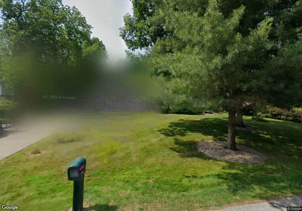
This home is located at 1770 Walnut Rd, Kent, OH 44240 and is currently estimated at $377,108, approximately $147 per square foot. 1770 Walnut Rd is a home located in Portage County with nearby schools including Walls Elementary School, Stanton Middle School, and Theodore Roosevelt High School.
Ownership History
Date
Name
Owned For
Owner Type
Purchase Details
Closed on
Aug 12, 2025
Sold by
Smithies Laura A
Bought by
Reese Emily Ann and Horner Andrew M
Current Estimated Value
Home Financials for this Owner
Home Financials are based on the most recent Mortgage that was taken out on this home.
Original Mortgage
$300,000
Outstanding Balance
$299,738
Interest Rate
6.67%
Mortgage Type
New Conventional
Estimated Equity
$77,370
Purchase Details
Closed on
Jan 9, 2001
Sold by
Stone Sharon V
Bought by
Horner David M
Home Financials for this Owner
Home Financials are based on the most recent Mortgage that was taken out on this home.
Original Mortgage
$180,000
Interest Rate
7.58%
Purchase Details
Closed on
May 20, 1998
Sold by
Richards William J
Bought by
Horner David M and Stone Sharon V
Home Financials for this Owner
Home Financials are based on the most recent Mortgage that was taken out on this home.
Original Mortgage
$100,000
Interest Rate
7.19%
Mortgage Type
New Conventional
Create a Home Valuation Report for This Property
The Home Valuation Report is an in-depth analysis detailing your home's value as well as a comparison with similar homes in the area
Home Values in the Area
Average Home Value in this Area
Purchase History
| Date | Buyer | Sale Price | Title Company |
|---|---|---|---|
| Reese Emily Ann | $375,000 | Chicago Title | |
| Horner David M | $95,000 | Resource Title Agency Inc | |
| Horner David M | $185,000 | -- |
Source: Public Records
Mortgage History
| Date | Status | Borrower | Loan Amount |
|---|---|---|---|
| Open | Reese Emily Ann | $300,000 | |
| Previous Owner | Horner David M | $180,000 | |
| Previous Owner | Horner David M | $100,000 |
Source: Public Records
Tax History
| Year | Tax Paid | Tax Assessment Tax Assessment Total Assessment is a certain percentage of the fair market value that is determined by local assessors to be the total taxable value of land and additions on the property. | Land | Improvement |
|---|---|---|---|---|
| 2025 | $6,018 | $111,860 | $18,970 | $92,890 |
| 2024 | $5,896 | $111,860 | $18,970 | $92,890 |
| 2023 | $5,216 | $80,540 | $18,970 | $61,570 |
| 2022 | $5,206 | $80,540 | $18,970 | $61,570 |
| 2021 | $5,185 | $80,540 | $18,970 | $61,570 |
| 2020 | $5,014 | $69,440 | $18,970 | $50,470 |
| 2019 | $4,715 | $69,440 | $18,970 | $50,470 |
| 2018 | $4,832 | $64,020 | $18,970 | $45,050 |
| 2017 | $4,832 | $64,020 | $18,970 | $45,050 |
| 2016 | $4,789 | $64,020 | $18,970 | $45,050 |
| 2015 | $4,804 | $64,020 | $18,970 | $45,050 |
| 2014 | $4,606 | $64,020 | $18,970 | $45,050 |
| 2013 | $4,570 | $64,020 | $18,970 | $45,050 |
Source: Public Records
Map
Nearby Homes
- 1799 Oak Hill Dr
- 1938 Hemlock Dr Unit 6NW
- 1939 Pine Dr Unit 8M
- 7578 Heather Cir Unit 3
- 2011 E Swan Lake Cir
- 1539 Jacobs Ln
- 7532 State Route 43
- 1465 North Blvd
- 1422 Jacobs Ln
- 1353 Lake Martin Dr
- 8158 State Route 43
- 8157 State Route 43
- 1678 Duncan Way
- 1422 Mclean Ave
- 1625 Flannery Ct
- V/L State Route 14
- 1616 Crescent Dr
- 1699 Red Maple Ct
- 131 Wanda Ct
- 1429 Colony Dr
Your Personal Tour Guide
Ask me questions while you tour the home.