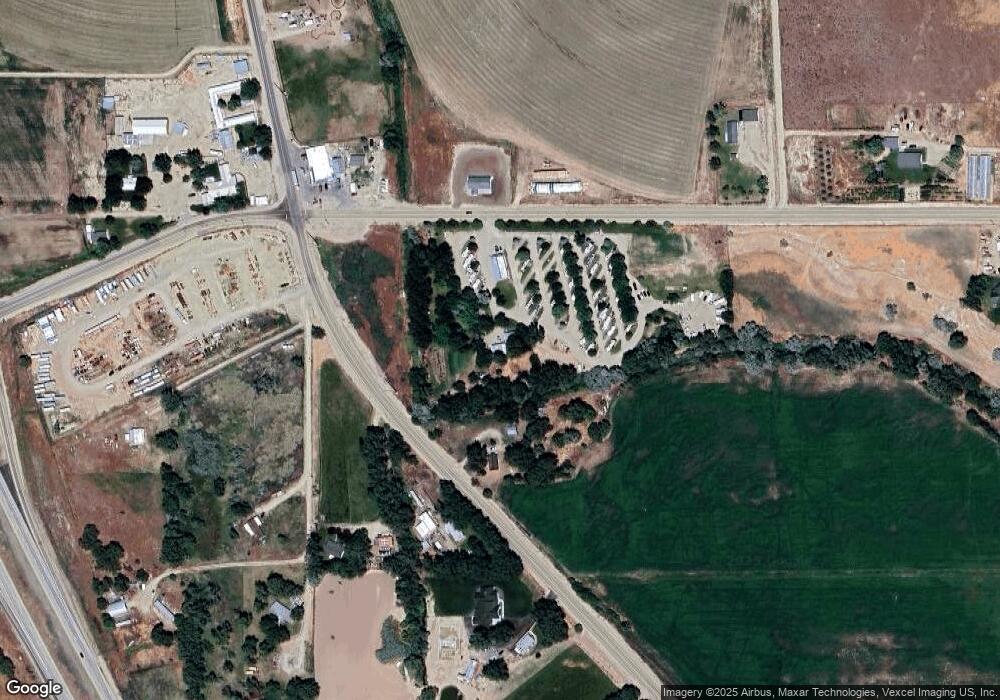
17701 Oasis Rd Caldwell, ID 83607
Estimated Value: $524,000 - $2,647,316
Studio
--
Bath
1,736
Sq Ft
$913/Sq Ft
Est. Value
About This Home
This home is located at 17701 Oasis Rd, Caldwell, ID 83607 and is currently estimated at $1,585,658, approximately $913 per square foot. 17701 Oasis Rd is a home located in Canyon County with nearby schools including Purple Sage Elementary School, Middleton Middle School, and Middleton High School.
Ownership History
Date
Name
Owned For
Owner Type
Purchase Details
Closed on
Nov 7, 2023
Sold by
365 Ventures Llc
Bought by
Country Corners Rv Llc
Current Estimated Value
Purchase Details
Closed on
Aug 21, 2012
Sold by
Clark Jeffrey B and Blankenship Clark Dori
Bought by
Dolman Scott
Home Financials for this Owner
Home Financials are based on the most recent Mortgage that was taken out on this home.
Original Mortgage
$485,000
Interest Rate
3.53%
Mortgage Type
Seller Take Back
Purchase Details
Closed on
Jun 21, 2005
Sold by
Crossroads Enterprises Inc
Bought by
Blagg Kenneth I and White Linda Mae
Home Financials for this Owner
Home Financials are based on the most recent Mortgage that was taken out on this home.
Original Mortgage
$249,420
Interest Rate
5.72%
Mortgage Type
Commercial
Create a Home Valuation Report for This Property
The Home Valuation Report is an in-depth analysis detailing your home's value as well as a comparison with similar homes in the area
Home Values in the Area
Average Home Value in this Area
Purchase History
| Date | Buyer | Sale Price | Title Company |
|---|---|---|---|
| Country Corners Rv Llc | -- | Titleone | |
| Dolman Scott | -- | Pioneer Title Canyon Ca | |
| Blagg Kenneth I | -- | Multiple |
Source: Public Records
Mortgage History
| Date | Status | Borrower | Loan Amount |
|---|---|---|---|
| Previous Owner | Dolman Scott | $485,000 | |
| Previous Owner | Blagg Kenneth I | $249,420 |
Source: Public Records
Tax History
| Year | Tax Paid | Tax Assessment Tax Assessment Total Assessment is a certain percentage of the fair market value that is determined by local assessors to be the total taxable value of land and additions on the property. | Land | Improvement |
|---|---|---|---|---|
| 2025 | $9,394 | $2,495,400 | $598,130 | $1,897,270 |
| 2024 | $9,394 | $2,174,320 | $572,120 | $1,602,200 |
| 2023 | $6,861 | $1,510,600 | $572,120 | $938,480 |
| 2022 | $6,799 | $1,506,000 | $520,110 | $985,890 |
| 2021 | $5,040 | $672,690 | $260,090 | $412,600 |
| 2020 | $6,219 | $654,690 | $260,090 | $394,600 |
| 2019 | $7,169 | $650,290 | $260,090 | $390,200 |
| 2018 | $3,984 | $0 | $0 | $0 |
| 2017 | $4,044 | $0 | $0 | $0 |
| 2016 | $4,145 | $0 | $0 | $0 |
| 2015 | $4,235 | $0 | $0 | $0 |
| 2014 | $3,808 | $290,640 | $89,740 | $200,900 |
Source: Public Records
Map
Nearby Homes
- TBD SE 11th Ave
- 17062-17124 Oasis Rd
- 16921 Oasis Rd
- 17567 Hollow Rd
- 28811 Old Highway 30
- 28803 Old Highway 30
- 28552 Market Rd
- 28656 Old Highway 30
- 29492 Farmway Rd
- 1310 Crest Rd
- 28677 Farmway Rd
- 7340 Sagebrush Ln
- 27744 Gray Sage Rd
- 16949 Butterfly Ridge Rd
- 590 Pearl Rd
- 16277 Sand Hollow Rd
- Monarch Rd
- 10105 Copperhead Ln
- 10185 Copperhead Ln
- 15032 Hollow Rd
- 29950 Old Highway 30
- 29889 Old Highway 30
- 17992 Oasis Rd
- 29929 Old Highway 30
- 500 Sand Hollow Rd
- 29985 Old Highway 30
- 29865 Old Highway 30
- 29979 Old Highway 30
- 0TBD Sand Hollow Rd
- 29793 Old Highway 30
- 29969 Old Highway 30
- 600 Sand Hollow Rd
- 17384 Oasis Rd
- TBD SE 11th Ave So
- 17465 Oasis Rd
- 17/5 Lancaster
- 17/3 Cirrus Pointe #1
- 17/1 Cirrus Pointe #1
- 00 Oasis Rd
- 0 Market Rd
Your Personal Tour Guide
Ask me questions while you tour the home.