17706 Highway 102 Shawnee, OK 74801
Estimated Value: $113,162 - $322,000
2
Beds
1
Bath
144
Sq Ft
$1,349/Sq Ft
Est. Value
About This Home
This home is located at 17706 Highway 102, Shawnee, OK 74801 and is currently estimated at $194,291, approximately $1,349 per square foot. 17706 Highway 102 is a home with nearby schools including Bethel Elementary School, Bethel Middle School, and Bethel High School.
Ownership History
Date
Name
Owned For
Owner Type
Purchase Details
Closed on
May 5, 2006
Sold by
Clark Jack D and Clark Mary
Bought by
Parsons Robby and Parsons Deborah
Current Estimated Value
Home Financials for this Owner
Home Financials are based on the most recent Mortgage that was taken out on this home.
Original Mortgage
$41,708
Interest Rate
6.4%
Mortgage Type
Purchase Money Mortgage
Purchase Details
Closed on
Oct 16, 1995
Sold by
Clark Jack and Clark Mary
Bought by
Norton Jim and Norton Cyndi
Create a Home Valuation Report for This Property
The Home Valuation Report is an in-depth analysis detailing your home's value as well as a comparison with similar homes in the area
Home Values in the Area
Average Home Value in this Area
Purchase History
| Date | Buyer | Sale Price | Title Company |
|---|---|---|---|
| Parsons Robby | -- | None Available | |
| Norton Jim | $35,000 | -- |
Source: Public Records
Mortgage History
| Date | Status | Borrower | Loan Amount |
|---|---|---|---|
| Closed | Parsons Robby | $41,708 |
Source: Public Records
Tax History Compared to Growth
Tax History
| Year | Tax Paid | Tax Assessment Tax Assessment Total Assessment is a certain percentage of the fair market value that is determined by local assessors to be the total taxable value of land and additions on the property. | Land | Improvement |
|---|---|---|---|---|
| 2024 | $238 | $2,330 | $1,077 | $1,253 |
| 2023 | $238 | $2,219 | $1,046 | $1,173 |
| 2022 | $233 | $2,219 | $1,046 | $1,173 |
| 2021 | $242 | $2,219 | $1,046 | $1,173 |
| 2020 | $239 | $2,207 | $1,046 | $1,161 |
| 2019 | $228 | $2,102 | $1,046 | $1,056 |
| 2018 | $225 | $2,102 | $1,046 | $1,056 |
| 2017 | $474 | $4,910 | $3,854 | $1,056 |
| 2016 | $480 | $4,941 | $3,912 | $1,029 |
| 2015 | $458 | $4,706 | $3,725 | $981 |
| 2014 | $436 | $4,482 | $3,548 | $934 |
Source: Public Records
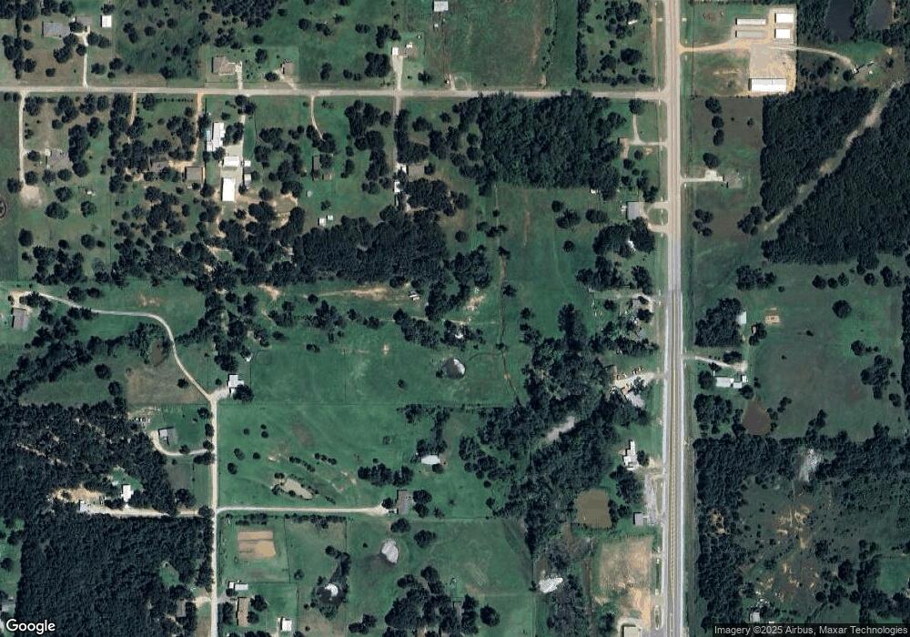
Map
Nearby Homes
- 11 Tonya Rd
- 33109 Hardesty Rd
- 34853 Wildcat Way
- 34501 Lake Rd
- 37207 Lake Rd
- 16 Post Office Ln
- 17195 Bethel Rd
- 102 Pine Valley Ln
- 107 Pine Valley Ln
- 31706 Hardesty Rd
- 210 Amber Ridge
- 4 Raymond Rd
- 36 Limberlost
- 3 Raymond Rd
- 31 Amber Ridge
- 0 NE Corner of Walker & Waco Rd Unit 1177663
- 167 Betty Dr
- 20269 Fairbanks Ln
- 0 Tract 4 Waco Rd Unit 1177677
- 112 Overland Ct
- 17709 Highway 102
- 17675 Highway 102
- 1 Tonya Rd
- 17610 Highway 102
- 18702 Oklahoma 102
- 0 Oklahoma 102
- 17509 Highway 102
- 5 Carol Ln
- 5 Tonya Rd
- 34008 Hardesty Rd
- 33806 Hardesty Rd
- 17412 Highway 102
- 34206 Hardesty Rd
- 9 Carol Ln
- 10 Tonya Rd
- 17410 Highway 102
- 17407 Highway 102
- 7 Tonya Rd
- 8 Carol Ln
- 9 Tonya Rd