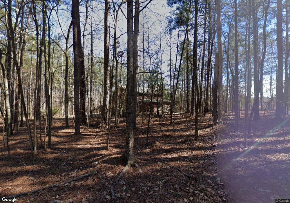
1771 H D Atha Rd Monroe, GA 30655
Estimated Value: $424,000 - $474,000
Studio
1
Bath
2,122
Sq Ft
$214/Sq Ft
Est. Value
About This Home
This home is located at 1771 H D Atha Rd, Monroe, GA 30655 and is currently estimated at $453,756, approximately $213 per square foot. 1771 H D Atha Rd is a home located in Walton County with nearby schools including Walnut Grove Elementary School, Youth Middle School, and Walnut Grove High School.
Ownership History
Date
Name
Owned For
Owner Type
Purchase Details
Closed on
Nov 9, 2012
Sold by
Harless Michael C
Bought by
Harless Michael C and Harless Patricia A
Current Estimated Value
Purchase Details
Closed on
Feb 24, 1998
Sold by
Hearthstone Assoc Inc
Bought by
Laslie William W and Laslie Gail R
Create a Home Valuation Report for This Property
The Home Valuation Report is an in-depth analysis detailing your home's value as well as a comparison with similar homes in the area
Home Values in the Area
Average Home Value in this Area
Purchase History
| Date | Buyer | Sale Price | Title Company |
|---|---|---|---|
| Harless Michael C | -- | -- | |
| Laslie William W | $50,000 | -- |
Source: Public Records
Tax History Compared to Growth
Tax History
| Year | Tax Paid | Tax Assessment Tax Assessment Total Assessment is a certain percentage of the fair market value that is determined by local assessors to be the total taxable value of land and additions on the property. | Land | Improvement |
|---|---|---|---|---|
| 2025 | $1,644 | $173,080 | $44,160 | $128,920 |
| 2024 | $1,644 | $169,560 | $44,160 | $125,400 |
| 2023 | $1,610 | $163,520 | $41,160 | $122,360 |
| 2022 | $1,627 | $150,680 | $40,160 | $110,520 |
| 2021 | $1,492 | $125,560 | $30,120 | $95,440 |
| 2020 | $1,424 | $115,880 | $24,080 | $91,800 |
| 2019 | $1,432 | $107,960 | $24,080 | $83,880 |
| 2018 | $1,438 | $107,960 | $24,080 | $83,880 |
| 2017 | $3,600 | $104,480 | $24,080 | $80,400 |
| 2016 | $1,366 | $87,520 | $20,080 | $67,440 |
| 2015 | $1,337 | $81,760 | $20,080 | $61,680 |
| 2014 | $2,605 | $76,120 | $0 | $0 |
Source: Public Records
Map
Nearby Homes
- 2112 Meadowood Cove
- 2104 Meadowood Cove
- Edgefield Plan at Pinehurst Estates
- Roanoke Plan at Pinehurst Estates
- Charleston Plan at Pinehurst Estates
- Waverly Plan at Pinehurst Estates
- Colfax Plan at Pinehurst Estates
- McDowell Plan at Pinehurst Estates
- 3055 Kari Brook Ln
- 182 Bella Dr
- 182 Bella Dr
- 235 Bella Dr
- 83 Bella Dr
- 43 Belmont Ct
- 492 Nunnally Farm Rd
- Riley A.3 2 Side Entry Plan at Nunnally Farm Rd
- 4335 Lakeside Blvd Unit 6
- 635 Nunnally Farm Rd
- 6440 Old Mill Ln
- 5085 Forest Hill Dr
- 2113 Meadowood Cove
- 2113 Meadowood Cove 0
- 2117 Meadowood Cove Unit 5
- 2117 Meadowood Cove
- 2109 Meadowood Cove
- 2121 Meadowood Cove
- 1731 H D Atha Rd
- 2101 Meadowood Cove
- 2125 Meadowood Cove
- 2116 Meadowood Cove
- 2108 Meadowood Cove
- 2129 Meadowood Cove
- 2105 Meadowood Cove
- 2120 Meadowood Cove
- 1721 H D Atha Rd
- 2124 Meadowood Cove Unit 11
- 2124 Meadowood Cove
- 1761 H D Atha Rd
- 2128 Meadowood Cove
- 1770 H D Atha Rd
