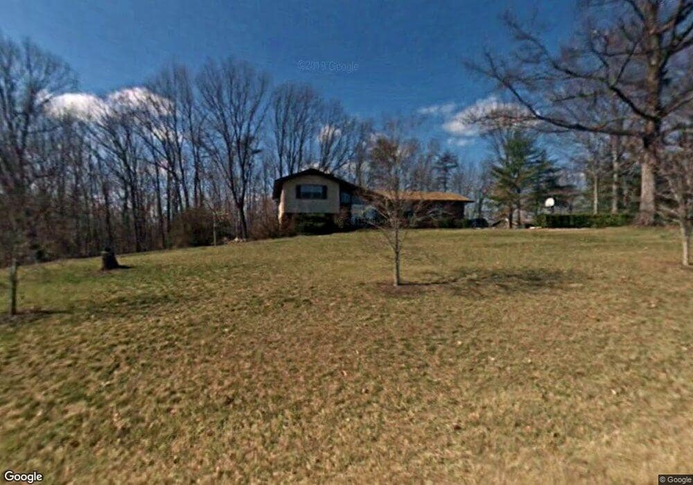
1771 Jessup Rd Westfield, NC 27053
Estimated Value: $174,000 - $762,000
3
Beds
2
Baths
1,016
Sq Ft
$342/Sq Ft
Est. Value
About This Home
This home is located at 1771 Jessup Rd, Westfield, NC 27053 and is currently estimated at $347,691, approximately $342 per square foot. 1771 Jessup Rd is a home located in Stokes County with nearby schools including Nancy Reynolds Elementary School, Piney Grove Middle, and North Stokes High.
Ownership History
Date
Name
Owned For
Owner Type
Purchase Details
Closed on
Apr 19, 2006
Sold by
Vaughn Gayle R
Bought by
Tilley Ronnie L and Tilley Dianne F
Current Estimated Value
Home Financials for this Owner
Home Financials are based on the most recent Mortgage that was taken out on this home.
Original Mortgage
$40,000
Outstanding Balance
$22,894
Interest Rate
6.29%
Mortgage Type
Seller Take Back
Estimated Equity
$324,797
Create a Home Valuation Report for This Property
The Home Valuation Report is an in-depth analysis detailing your home's value as well as a comparison with similar homes in the area
Purchase History
| Date | Buyer | Sale Price | Title Company |
|---|---|---|---|
| Tilley Ronnie L | $47,500 | None Available |
Source: Public Records
Mortgage History
| Date | Status | Borrower | Loan Amount |
|---|---|---|---|
| Open | Tilley Ronnie L | $40,000 |
Source: Public Records
Tax History
| Year | Tax Paid | Tax Assessment Tax Assessment Total Assessment is a certain percentage of the fair market value that is determined by local assessors to be the total taxable value of land and additions on the property. | Land | Improvement |
|---|---|---|---|---|
| 2025 | $1,291 | $180,500 | $16,300 | $164,200 |
| 2024 | $1,291 | $114,700 | $12,800 | $101,900 |
| 2023 | $929 | $114,700 | $12,800 | $101,900 |
| 2022 | $850 | $114,800 | $12,900 | $101,900 |
| 2021 | $850 | $114,800 | $12,900 | $101,900 |
| 2020 | $712 | $96,200 | $12,600 | $83,600 |
| 2019 | $712 | $96,200 | $12,600 | $83,600 |
| 2018 | $712 | $96,200 | $12,600 | $83,600 |
| 2017 | $707 | $96,200 | $12,600 | $83,600 |
| 2016 | $689 | $93,700 | $12,600 | $81,100 |
| 2015 | $684 | $93,700 | $12,600 | $81,100 |
| 2014 | $752 | $93,700 | $12,600 | $81,100 |
Source: Public Records
Map
Nearby Homes
- 1065 Dallas King Rd
- 1178 Sunset Ridge Rd
- 1195 Rogers Rd
- TBD Asbury Rd
- 1507 Rogers Rd
- 3391 Asbury Rd
- 1135 Daisy Creek Farm Rd
- 23 Mills School Rd
- 00 Albion Church Rd
- 00 Locust Grove Rd Unit 4
- 00 Locust Grove Rd Unit 2
- 00 Locust Grove Rd Unit 3
- 0 Locust Grove Rd
- 1433 Gray Circle Rd
- 00 Hatchers Chapel Rd
- 000 N Carolina 89
- 0 Dearmin Rd Unit 26623461
- 0 Dearmin Rd Unit 1210255
- 0 Dearmin Rd Unit 1198608
- 00 Jackson Rd
- 1771 Jessup Rd
- 1840 Jessup Rd
- 1705 Jessup Rd
- 1744 Jessup Rd
- 2025 Asbury Rd
- 1040 Pentecostal Church Dr
- 1015 Dallas King Rd
- 1660 Jessup Rd
- 2121 Asbury Rd
- 2096 Asbury Rd
- 2155 Asbury Rd
- 2195 Asbury Rd
- 2126 Asbury Rd
- 1986 Asbury Rd
- 2173 Asbury Rd
- 1045 Dallas King Rd
- xx Dallas King Rd
- 1968 Asbury Rd
- 2187 Asbury Rd
- 1910 Asbury Rd
Your Personal Tour Guide
Ask me questions while you tour the home.