1771 Parrotts Pointe Rd Greensboro, GA 30642
Estimated Value: $1,825,000 - $2,225,377
5
Beds
5
Baths
3,219
Sq Ft
$619/Sq Ft
Est. Value
About This Home
This home is located at 1771 Parrotts Pointe Rd, Greensboro, GA 30642 and is currently estimated at $1,993,844, approximately $619 per square foot. 1771 Parrotts Pointe Rd is a home located in Greene County with nearby schools including Greene County High School.
Ownership History
Date
Name
Owned For
Owner Type
Purchase Details
Closed on
Mar 7, 2000
Sold by
Silver Eric K and Silver Mary P
Bought by
Silver Mary P & Eric K Co Trus
Current Estimated Value
Purchase Details
Closed on
Mar 3, 1997
Sold by
Linger Longer Dev Co
Bought by
Silver Eric K and Silver Mary P
Purchase Details
Closed on
Oct 2, 1996
Sold by
Cook Dreman C and Cook Ellen J
Bought by
Linger Longer Dev Co
Purchase Details
Closed on
Jun 14, 1996
Sold by
Linger Longer Dev Co
Bought by
Cook Dreman C and Cook Ellen J
Create a Home Valuation Report for This Property
The Home Valuation Report is an in-depth analysis detailing your home's value as well as a comparison with similar homes in the area
Home Values in the Area
Average Home Value in this Area
Purchase History
| Date | Buyer | Sale Price | Title Company |
|---|---|---|---|
| Silver Mary P & Eric K Co Trus | -- | -- | |
| Silver Eric K | $102,000 | -- | |
| Linger Longer Dev Co | $94,000 | -- | |
| Cook Dreman C | $94,000 | -- |
Source: Public Records
Tax History Compared to Growth
Tax History
| Year | Tax Paid | Tax Assessment Tax Assessment Total Assessment is a certain percentage of the fair market value that is determined by local assessors to be the total taxable value of land and additions on the property. | Land | Improvement |
|---|---|---|---|---|
| 2024 | $4,358 | $673,880 | $190,000 | $483,880 |
| 2023 | $4,078 | $653,960 | $190,000 | $463,960 |
| 2022 | $4,988 | $447,640 | $180,000 | $267,640 |
| 2021 | $5,303 | $373,200 | $137,000 | $236,200 |
| 2020 | $5,068 | $242,160 | $75,600 | $166,560 |
| 2019 | $5,144 | $242,160 | $75,600 | $166,560 |
| 2018 | $5,122 | $242,160 | $75,600 | $166,560 |
| 2017 | $4,752 | $239,022 | $75,600 | $163,422 |
| 2016 | $4,996 | $243,058 | $75,600 | $167,458 |
| 2015 | $4,910 | $243,057 | $75,600 | $167,458 |
| 2014 | $5,259 | $253,876 | $100,800 | $153,076 |
Source: Public Records
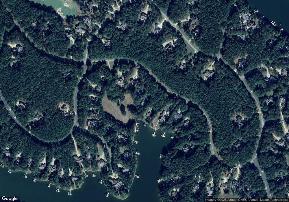
Map
Nearby Homes
- 2071 Flemings Knoll
- 1831 Parrotts Pointe Rd
- 2701 Parrotts Pointe Rd
- 1070 Prosperity Point
- 1070 Prosperity Pointe
- 1141 Bachelors Run
- 1330 Parrott Trace
- 1020 Davison Ln
- 1030 Tappans Place
- 1070 & 1080 Cotton Gin Rd
- 1100 Bachelors Run
- 1241 Parrott Trace
- 1030 Pearls Ct
- 1020 Troublesome Creek Ln
- 1000 Troublesome Creek Ln
- 1040 Parrotts Cove Rd
- 1221 Lake Club Dr
- 1251 Lake Club Dr
- 1041 Parrotts Cove Rd
- 1761 Parrotts Pointe Rd
- 1781 Parrotts Pointe Rd
- 1751 Parrotts Pointe Rd
- 1791 Parrotts Pointe Rd
- 1741 Parrotts Pointe Rd
- 1801 Parrotts Pointe Rd
- 1030 Hastings Ct Unit LOT 14
- 1030 Hastings Ct
- 1731 Parrotts Pointe Rd
- 1020 Hastings Ct
- 2231 Parrotts Pointe Rd
- 2081 Flemings Knoll
- 2390 Parrotts Pointe Rd
- 1010 Hastings Ct
- 1010 Hastings Ct Unit 16
- 2061 Flemings Knoll
- 1040 Hastings Ct
- 2410 Parrotts Pointe Rd
- 1821 Parrotts Pointe Rd
- 0 Hastings Ct Unit 7628841