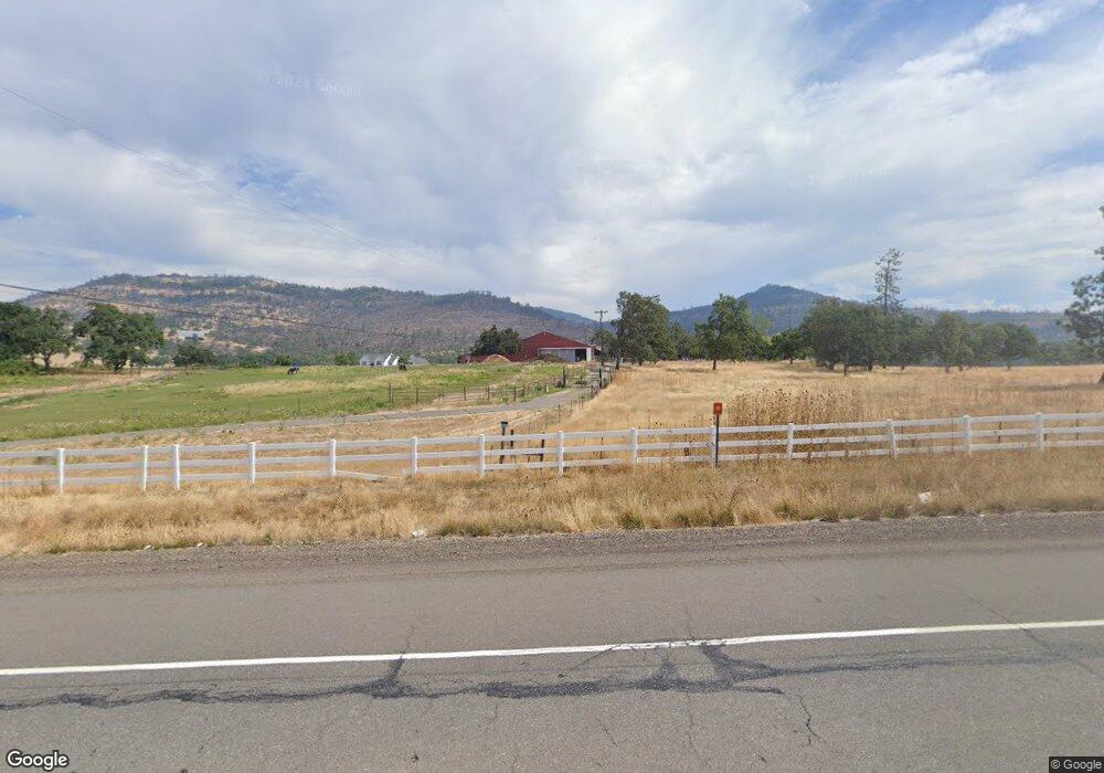
17710 Highway 62 Eagle Point, OR 97524
Estimated Value: $713,000 - $1,085,000
3
Beds
3
Baths
3,304
Sq Ft
$284/Sq Ft
Est. Value
About This Home
This home is located at 17710 Highway 62, Eagle Point, OR 97524 and is currently estimated at $939,269, approximately $284 per square foot. 17710 Highway 62 is a home located in Jackson County with nearby schools including Eagle Point Middle School, White Mountain Middle School, and Eagle Point High School.
Ownership History
Date
Name
Owned For
Owner Type
Purchase Details
Closed on
Apr 5, 2004
Sold by
Freeborn Roger J and Freeborn Mary B
Bought by
Mauck Stephen E and Thrapp Mauck Heather
Current Estimated Value
Home Financials for this Owner
Home Financials are based on the most recent Mortgage that was taken out on this home.
Original Mortgage
$210,000
Interest Rate
5.57%
Mortgage Type
Seller Take Back
Purchase Details
Closed on
Apr 20, 2001
Sold by
Snyder Kevin S and Snyder Stephanie R
Bought by
Freeborn Roger J and Freeborn Mary B
Create a Home Valuation Report for This Property
The Home Valuation Report is an in-depth analysis detailing your home's value as well as a comparison with similar homes in the area
Purchase History
| Date | Buyer | Sale Price | Title Company |
|---|---|---|---|
| Mauck Stephen E | $210,000 | Lawyers Title Ins | |
| Freeborn Roger J | $200,000 | Lawyers Title Insurance Corp |
Source: Public Records
Mortgage History
| Date | Status | Borrower | Loan Amount |
|---|---|---|---|
| Closed | Mauck Stephen E | $210,000 |
Source: Public Records
Tax History Compared to Growth
Tax History
| Year | Tax Paid | Tax Assessment Tax Assessment Total Assessment is a certain percentage of the fair market value that is determined by local assessors to be the total taxable value of land and additions on the property. | Land | Improvement |
|---|---|---|---|---|
| 2026 | $3,643 | $320,706 | -- | -- |
| 2025 | $3,553 | $311,488 | $17,868 | $293,620 |
| 2024 | $3,553 | $302,540 | $17,460 | $285,080 |
| 2023 | $3,432 | $293,852 | $17,072 | $276,780 |
| 2022 | $3,343 | $293,852 | $17,072 | $276,780 |
| 2021 | $3,247 | $285,415 | $16,695 | $268,720 |
| 2020 | $3,512 | $277,228 | $16,328 | $260,900 |
| 2019 | $3,471 | $261,554 | $15,624 | $245,930 |
| 2018 | $3,393 | $254,058 | $15,288 | $238,770 |
| 2017 | $3,094 | $254,058 | $15,288 | $238,770 |
| 2016 | $2,993 | $239,715 | $14,645 | $225,070 |
| 2015 | $2,891 | $239,715 | $14,645 | $225,070 |
| 2014 | $2,809 | $226,193 | $14,033 | $212,160 |
Source: Public Records
Map
Nearby Homes
- 2900 Rogue River Dr
- 21 Brophy Way Unit 17
- 1305 Butte Falls Hwy
- 506 Greenleaf Dr
- 0 Greenleaf Dr Unit 526832725
- 2162 Butte Falls Hwy
- 20140 Highway 62
- 20400 Highway 62
- 20455 Highway 62
- 20413 Oregon 62
- 800 Hillandale Cir
- 192 Cindy Way
- 176 Cindy Way
- 2900 Indian Creek Rd
- 78 Maple Dr
- 330 Penny Ln
- 6400 Rogue River Dr
- 363 Kitty Dr
- 218 Long Branch Rd
- 198 Flamingo Dr
- 17630 Highway 62
- 17720 Highway 62
- 17645 Highway 62
- 17479 Highway 62
- 17525 Highway 62
- 17515 Highway 62
- 17365 Highway 62
- 17505 Highway 62
- 17677 Highway 62
- 17210 Highway 62
- 17210 Hwy 62
- 17181 Highway 62
- 17099 Highway 62
- 0 Hammel Rd Unit 100201319
- 0 Hammel Rd Unit 100990353
- 0 Hammel Rd Unit 100222347
- 0 Hammel Rd Unit 100212131
- 0 Hammel Rd Unit 220189106
- 0 Hammel Rd Unit 220178461
- 0 Hammel Rd Unit B 102931970
